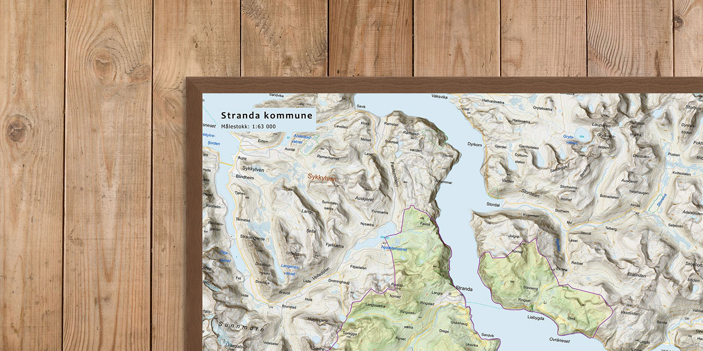
Municipal Maps – wall maps of all Norwegian municipalities
We have created a complete series of modern municipal maps covering all of Norway – from Lindesnes in the south to North Cape in the north.
A total of 357 municipalities – each with its own map, designed to highlight local place names, nature, and infrastructure.
The maps are printed in five sizes with different scales, and are perfect as decor for the home, the cabin, the meeting room, or the town hall.
-
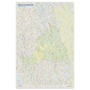
Wall map – Åsnes municipality
Fra kr 0,00 Select options -

Wall map – Øksnes municipality
Fra kr 0,00 Select options -

Wall map – Ørland municipality
Fra kr 0,00 Select options -
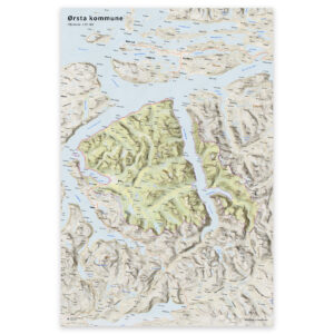
Wall map – Ørsta municipality
Fra kr 0,00 Select options -
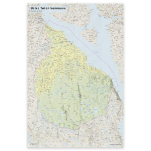
Wall map – Østre Toten municipality
Fra kr 0,00 Select options -
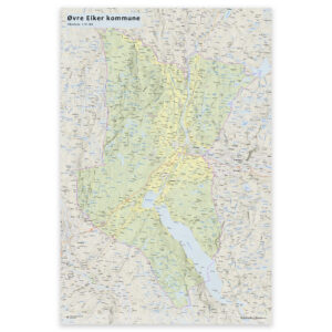
Wall map – Øvre Eiker municipality
Fra kr 0,00 Select options -

Wall map – Øyer municipality
Fra kr 0,00 Select options -

Wall map – Øygarden municipality
Fra kr 0,00 Select options -
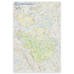
Wall map – Øystre Slidre municipality
Fra kr 0,00 Select options