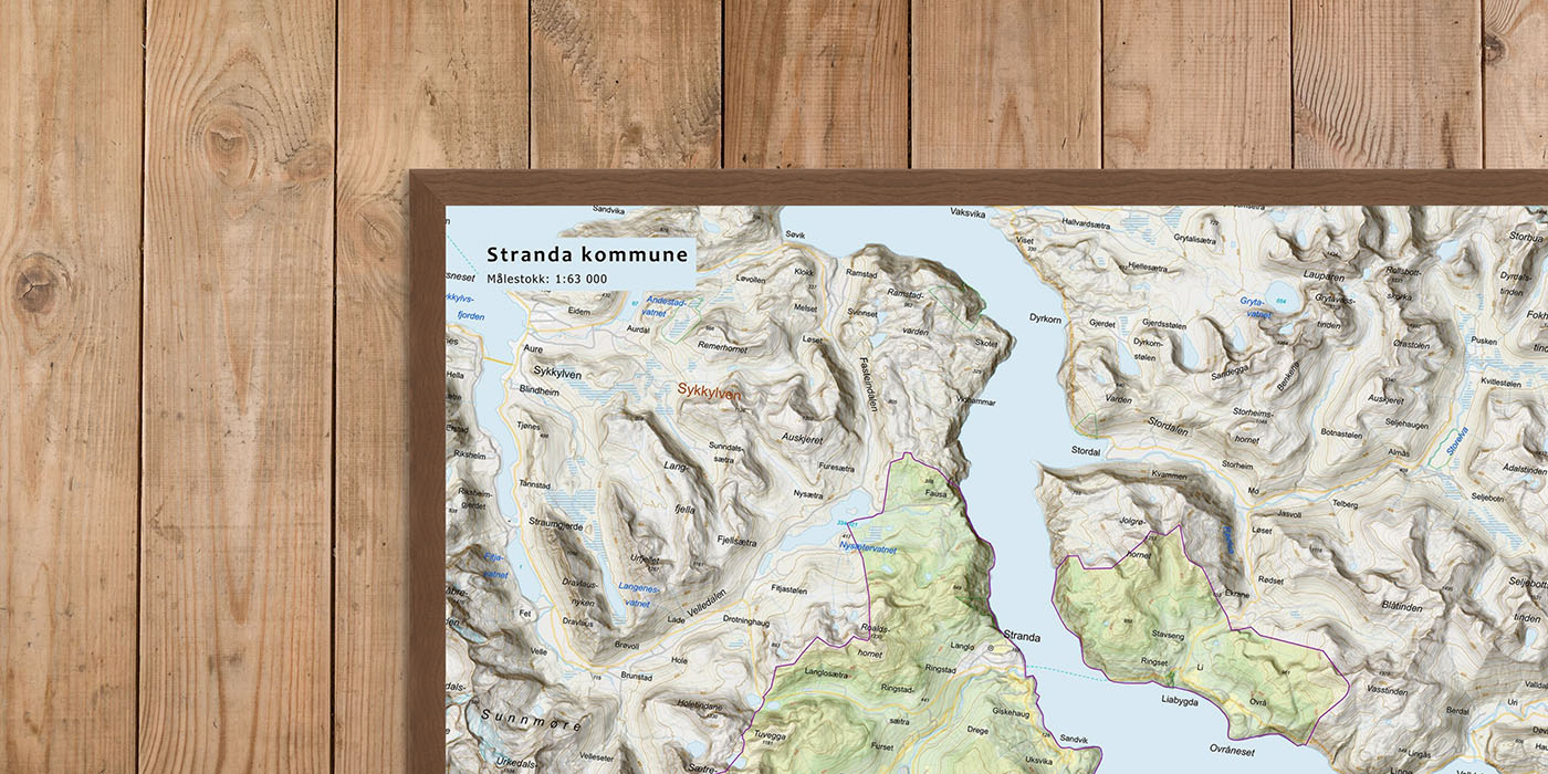
Municipal Maps – wall maps of all Norwegian municipalities
We have created a complete series of modern municipal maps covering all of Norway – from Lindesnes in the south to North Cape in the north.
A total of 357 municipalities – each with its own map, designed to highlight local place names, nature, and infrastructure.
The maps are printed in five sizes with different scales, and are perfect as decor for the home, the cabin, the meeting room, or the town hall.
-

Wall map – Randaberg municipality
From 0,00 €
Select options -

Wall map – Rauma municipality
From 0,00 €
Select options -

Wall map – Rendalen municipality
From 0,00 €
Select options -

Wall map – Rennebu municipality
From 0,00 €
Select options -

Wall map – Rindal municipality
From 0,00 €
Select options -

Wall map – Ringebu municipality
From 0,00 €
Select options -

Wall map – Ringerike municipality
From 0,00 €
Select options -

Wall map – Ringsaker municipality
From 0,00 €
Select options -
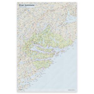
Wall map – Risør municipality
From 0,00 €
Select options -

Wall map – Rødøy municipality
From 0,00 €
Select options -
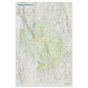
Wall map – Rollag municipality
From 0,00 €
Select options -
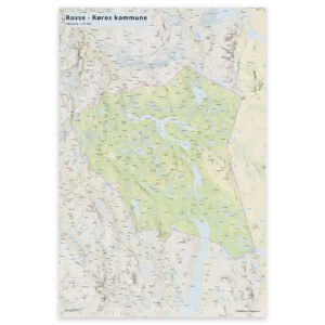
Wall map – Røros municipality
From 0,00 €
Select options -

Wall map – Røst municipality
From 0,00 €
Select options -
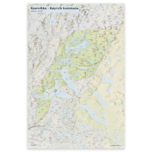
Wall map – Røyrvik municipality
From 0,00 €
Select options -

Wall map – Salangen municipality
From 0,00 €
Select options -
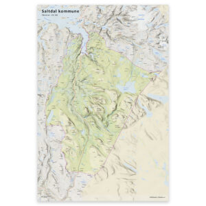
Wall map – Saltdal municipality
From 0,00 €
Select options -

Wall map – Samnanger municipality
From 0,00 €
Select options -

Wall map – Sande (Møre og Romsdal) municipality
From 0,00 €
Select options -

Wall map – Sandefjord municipality
From 0,00 €
Select options -
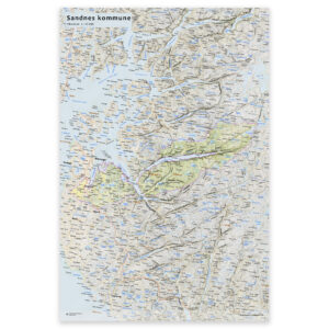
Wall map – Sandnes municipality
From 0,00 €
Select options