-

Isdomen G5
Map in scale 1:100000 from the Norwegian Polar Institute.
-
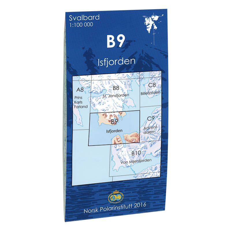
Isfjorden B9
Map in scale 1:100000 from the Norwegian Polar Institute.
-

Italy – road and leisure maps
Robust road and leisure map of Italy with tourist routes, highlights and digital location index. Weatherproof and suitable for road trips.
-
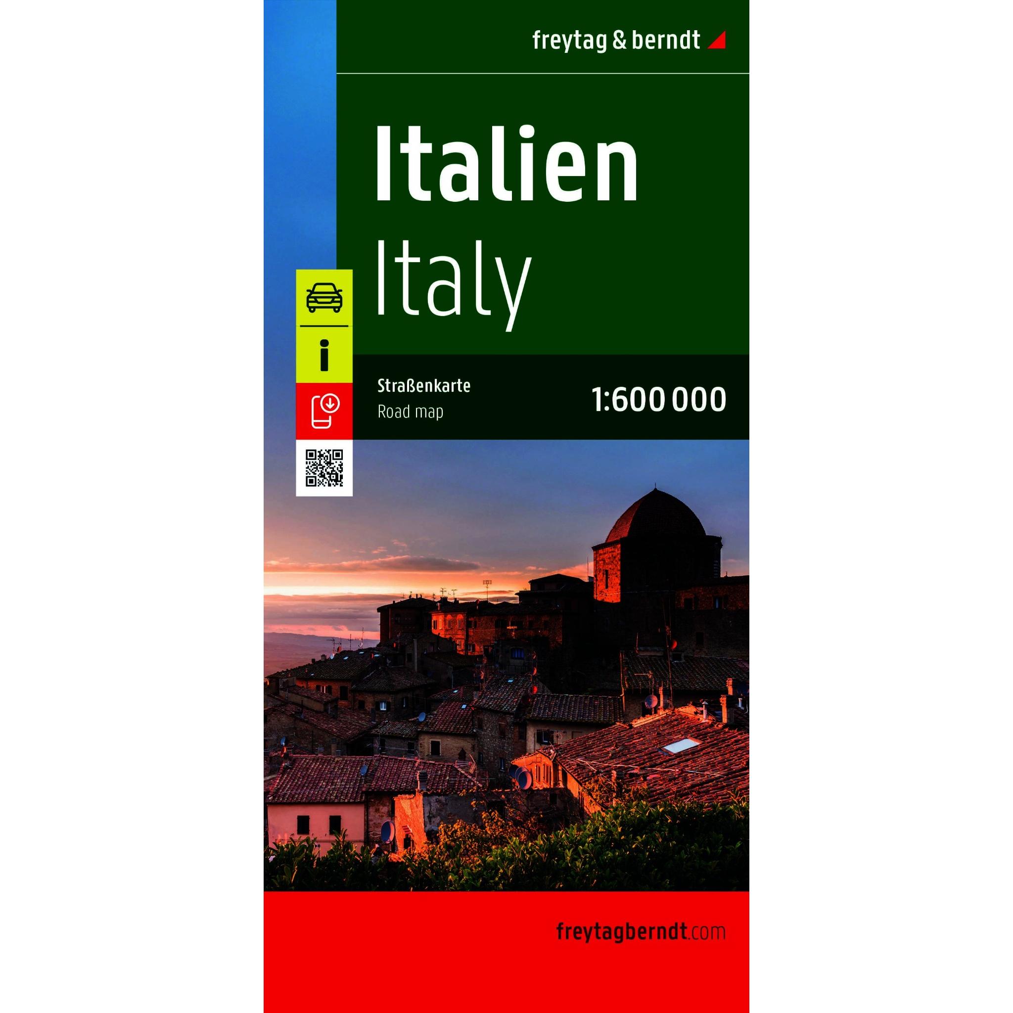
Italy – roadmap (multilingual)
New and updated edition 2026: Detailed road map of Italy with full coverage of the country, including road network, tourist information and city maps. Suitable for planning and road travel. The map provides a good overview of both main roads and smaller routes, and also contains practical information such as campsites and city maps for…
-
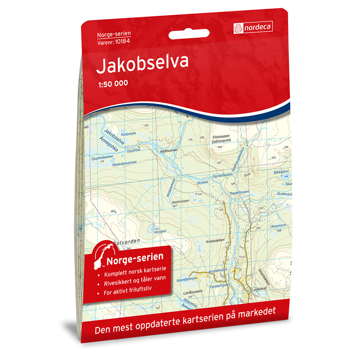
Jakobselva Norge-serien Hiking Map
Detailed hiking map of Jakobselva in the Norge-serien – the classic red hiking maps that have been a trusted companion in Norwegian backpacks for generations. The maps are systematically divided with overlap to adjacent maps, providing good continuity as you move through the terrain.
-
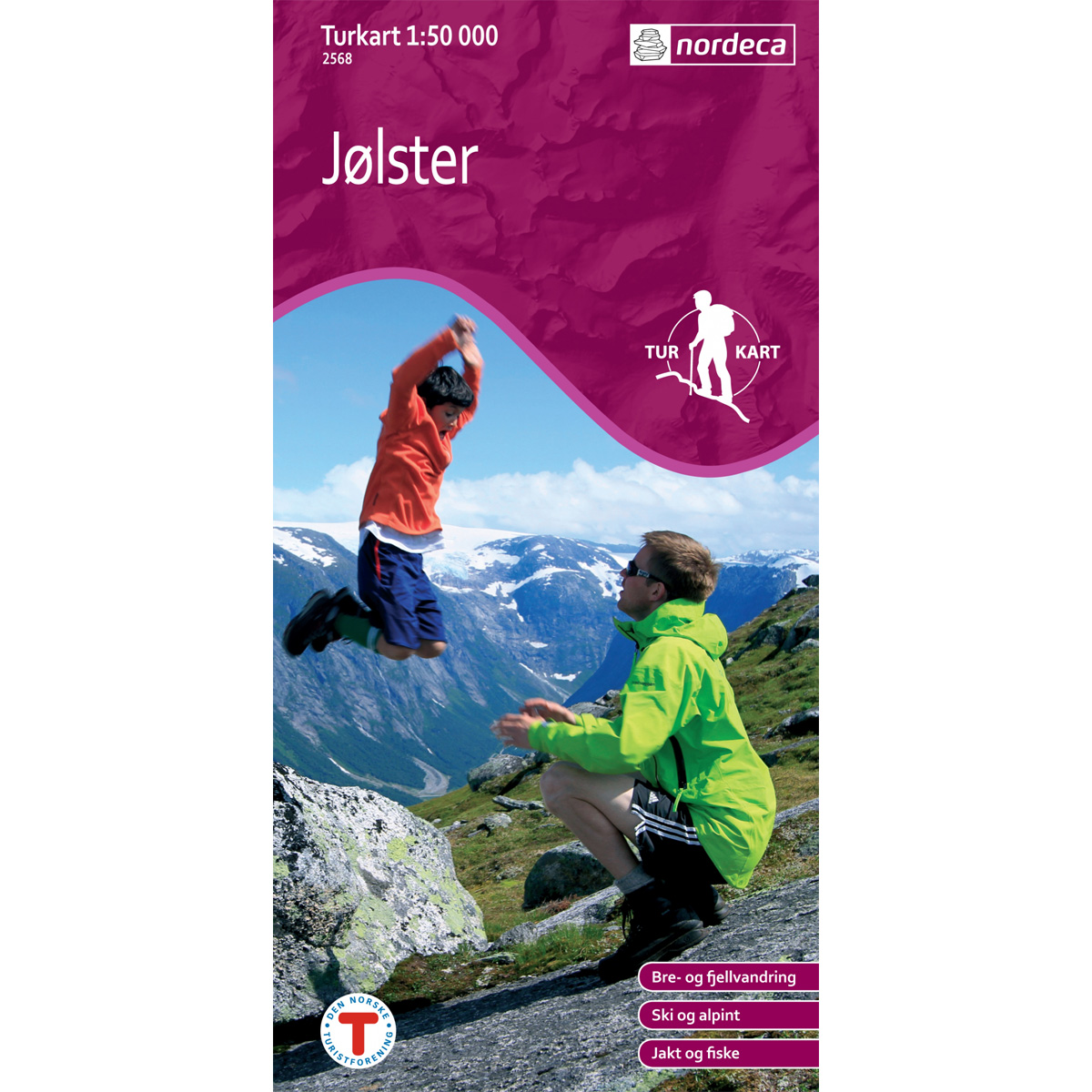
Jølster DNT Hiking Map
Detailed hiking map of Jølster, developed by Nordic Maps (formerly Nordeca) in collaboration with the Norwegian Trekking Association. DNT Hiking Maps have been the preferred choice for hikers for decades, known for their excellent readability, thoughtful design, and practical information tailored for active outdoor life.
-
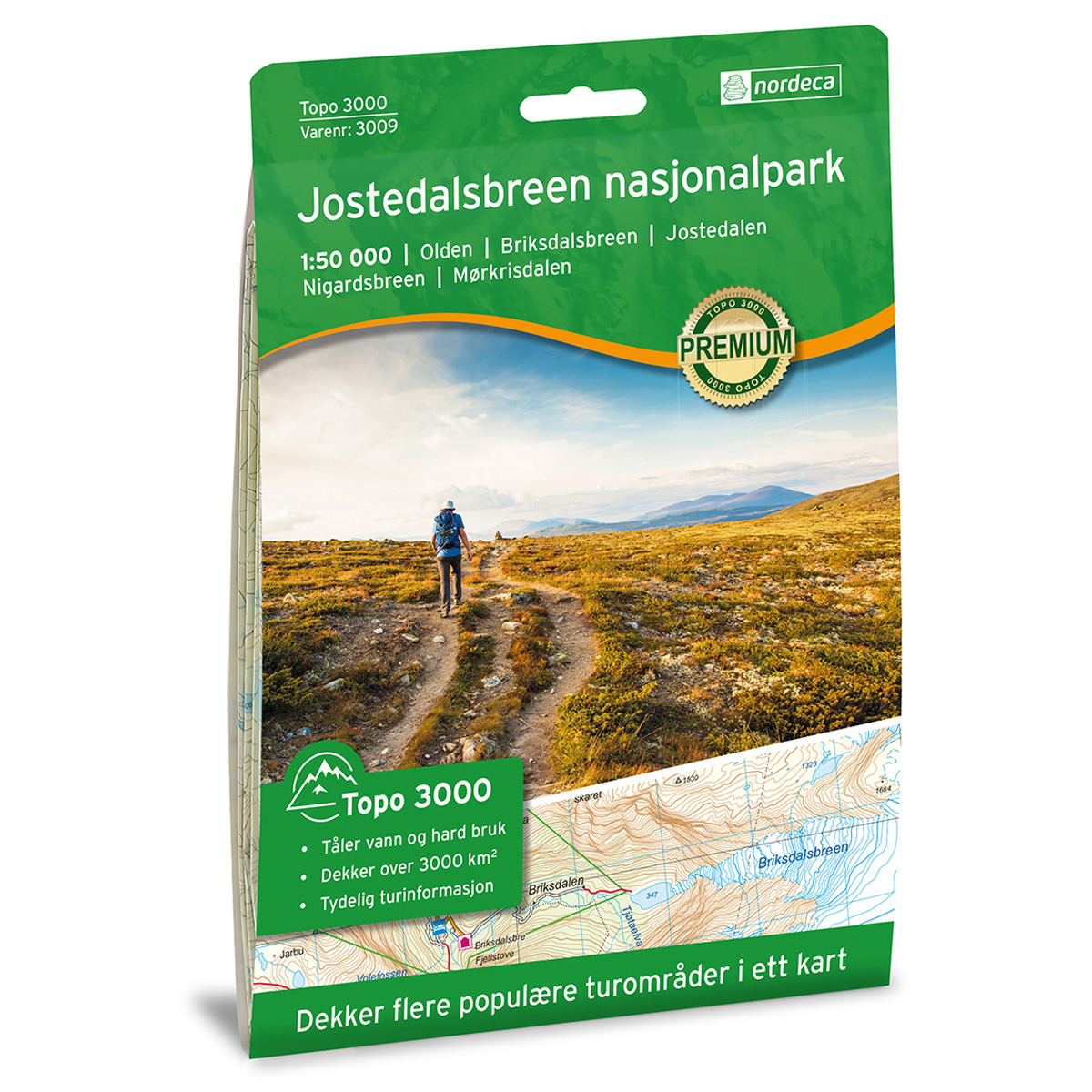
Jostedalsbreen National Park Topo 3000 Hiking Map
Detailed topographic hiking map of Jostedalsbreen National Park Topo 3000 Hiking Map, from Nordic Maps (formerly Nordeca). Topo 3000 is a popular map series for mountain hiking and longer trips in varied terrain.
-
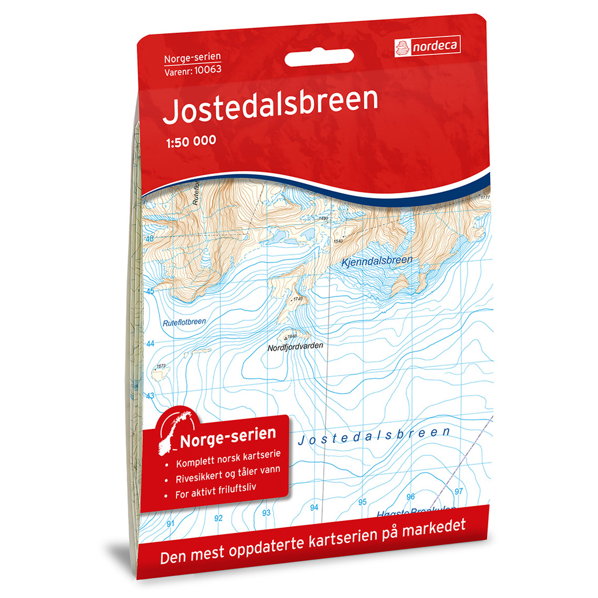
Jostedalsbreen Norway Series Hiking Map
Detailed hiking map of Jostedalsbreen in the Norway Series – the classic red hiking maps that have been a faithful companion in Norwegian backpacks for generations. The maps are systematically divided with overlaps with adjacent maps, providing seamless continuity as you move through the terrain.
-
Jotunheimen – DNT hiking map 1:50 000
Waterproof and detailed DNT hiking map of Jotunheimen in scale 1:50 000 from Nordic Maps (formerly Nordeca), with trails, cabins and updated hiking information.
-
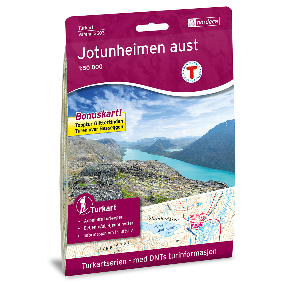
Jotunheimen Aust DNT Hiking Map
Detailed hiking map of Jotunheimen Aust, developed by Nordic Maps (formerly Nordeca) in collaboration with the Norwegian Trekking Association. DNT Hiking Maps have been the first choice for outdoor enthusiasts for several decades, and are known for good readability, well-designed cartography and practical information tailored to active outdoor life.
-

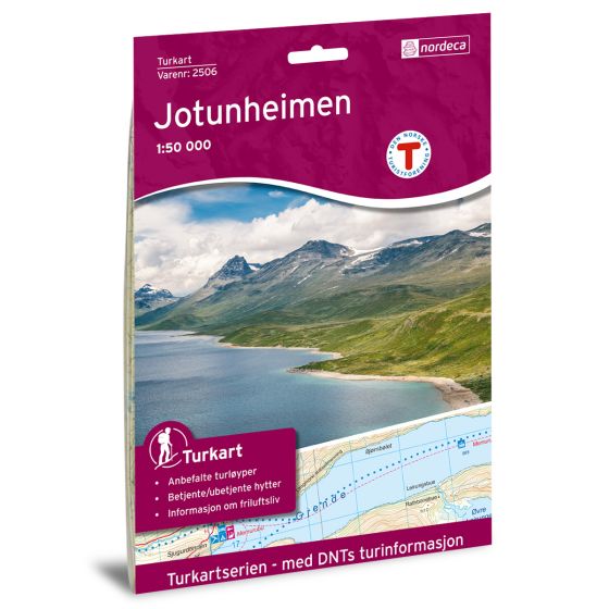
Jotunheimen DNT Turkart
Detailed hiking map of Jotunheimen, developed by Nordic Maps (formerly Nordeca) in collaboration with the Norwegian Tourist Association. DNT Hiking Maps have been the preferred choice for hikers for decades, known for their excellent readability, thoughtful design, and practical information tailored for active outdoor life.
-
Jotunheimen mountain map
Newly revised mountain map of Jotunheimen with summer trails and winter routes. Covers Gjendesheim, Spiterstulen, Hurrungane and Lom – printed on weatherproof paper.
-
Jotunheimen West DNT Hiking Map
Detailed hiking map of Jotunheimen West, developed by Nordic Maps (formerly Nordeca) in collaboration with the Norwegian Trekking Association. DNT Hiking Maps have been the preferred choice for hikers for decades, known for their excellent readability, thoughtful design, and practical information tailored for active outdoor life.
-
Jutulsess
Map in scale 1:50 from the Norwegian Polar Institute.
-
Kalhovd Norge-serien Hiking Map
Detailed hiking map of Kalhovd in the Norge-serien – the classic red hiking maps that have been a trusted companion in Norwegian backpacks for generations. The maps are systematically divided with overlap to adjacent maps, providing good continuity as you move through the terrain.
-
Kapp Payer E7
Map in scale 1:100000 from the Norwegian Polar Institute.
-
Karasjohka Norway Series Hiking Map
Detailed hiking map of Karasjohka in the Norway series – the classic red hiking maps that have been a trusted companion in Norwegian backpacks for generations. The maps are systematically divided with overlap to adjacent maps, providing good continuity as you move through the terrain.
-
Karlsøy Norway Series Hiking Map
Detailed hiking map of Karlsøy in the Norway Series – the classic red hiking maps that have been a faithful companion in Norwegian backpacks for generations. The maps are systematically divided with overlaps for adjacent maps, providing seamless continuity as you move through the terrain.
-
Kebnekaise Norway Series Hiking Map
Detailed hiking map of Kebnekaise in the Norway Series – the classic red hiking maps that have been a trusted companion in Norwegian backpacks for several generations. The maps are systematically divided with overlap to adjacent maps, providing good continuity as you move through the terrain.
-
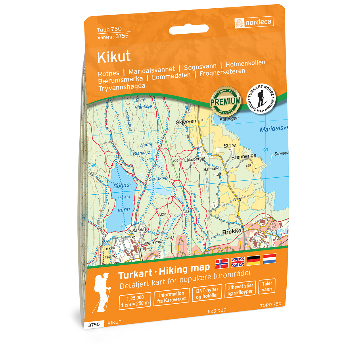
Kikut Topo 750 Turkart
Detailed topographic hiking map of Kikut Topo 750 Turkart, from Nordic Maps (formerly Nordeca). Topo 750 provides extra detail and is well suited for close hikes and demanding traffic.