-
Kunstpapir
-
Kunstpapir
-
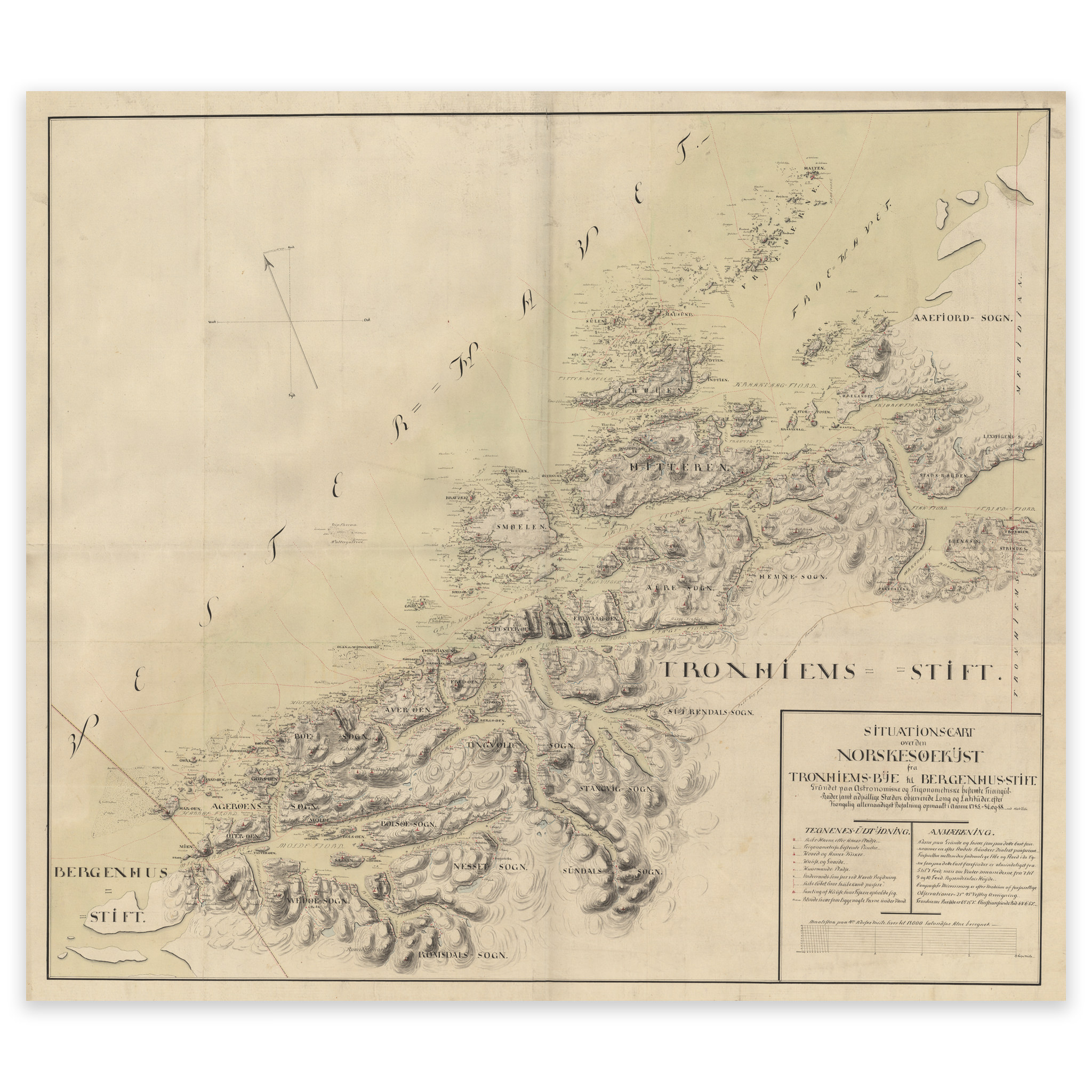
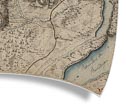
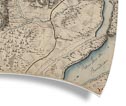
Lepsøyrevet-Åfjord
Hand-drawn historical nautical chart from 1788. The map covers the Lepsøyrevet reef north of Ålesund, up to and including Halten fyr and Åfjord in Trøndelag. The map is delivered in original size 115.8 x 97.1 cm. Do you want the map in a different size? Just get in touch – we’ll be happy to give…
-
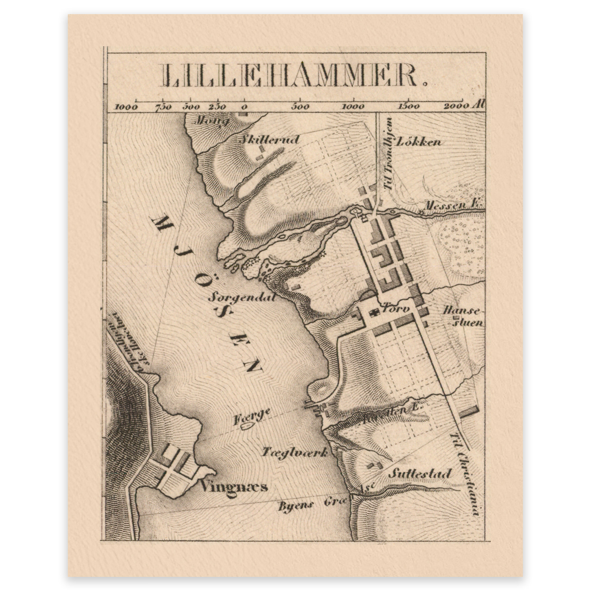
Lillehammer 1849
A small pocket map of Lillehammer from 1849. Do you want the map in a different size? Just get in touch – we’ll be happy to give you a quote for customization.
-

Linex DT124 Map tube 70-124 cm
Telescopic map tube from Linex with adjustable length from 70 to 124 cm. Suitable for larger maps and nautical charts, and comes with a shoulder strap.
-
Linex DT74 Potato tube 50-90 cm
Adjustable map tube from Linex for safe transportation and storage of maps, charts and documents. Can be pulled out from 50 to 90 cm and comes with a shoulder strap.
-

Oslo 1848
Map of Oslo city center and quadrature from 1848. The castle and the university are drawn in, both buildings were completed this year. The map comes in its original size of 14.6 x 16.2 cm. The size with frame and passe-partout is 38.6 x 42.2 cm. Would you like the map in a different size?…
-
Plakat
-
Plakat
-

Ramme med hvitt passepartout – eik
-
Ramme med hvitt passepartout – eik
-

Ramme med hvitt passepartout – hvit
-
Ramme med hvitt passepartout – hvit
-

Ramme med hvitt passepartout – natur
-
Ramme med hvitt passepartout – natur
-

Ramme med hvitt passepartout – sort
-
Ramme med hvitt passepartout – sort
-

Ramme med hvitt passepartout – valnøtt
-
Ramme med hvitt passepartout – valnøtt
-
Ramme med sort passepartout – eik