-
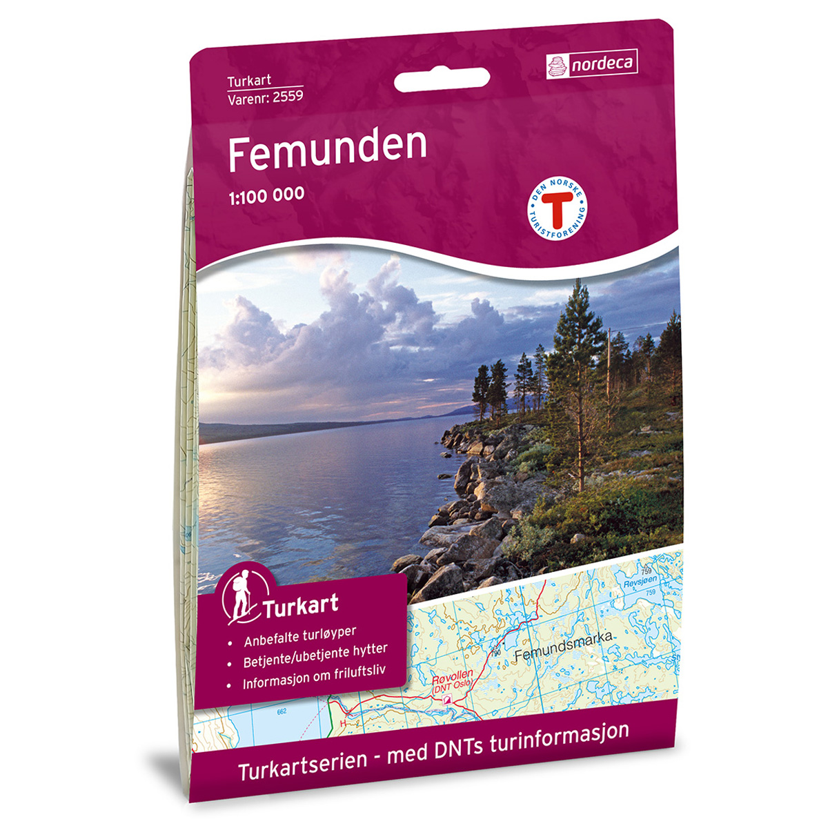
Femunden DNT Hiking Map
Detailed hiking map of Femunden, developed by Nordic Maps (formerly Nordeca) in collaboration with the Norwegian Trekking Association. DNT Hiking Maps have been the first choice for outdoor enthusiasts for decades, known for their excellent readability, thoughtful map design, and practical information tailored for active outdoor life.
-
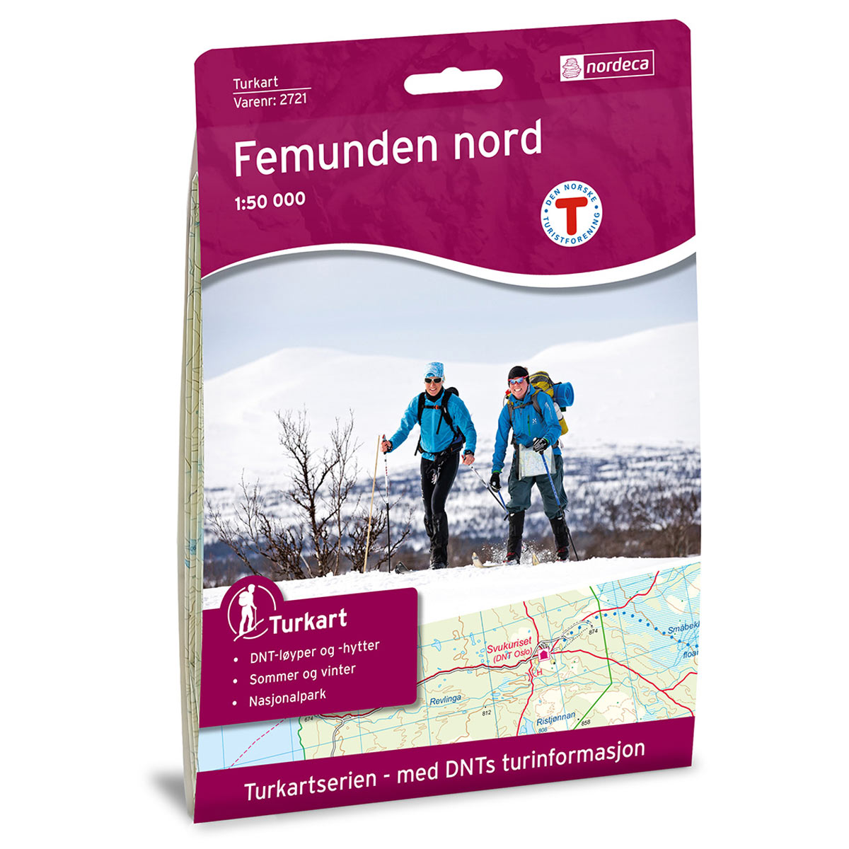
Femunden Nord DNT Hiking Map
Detailed hiking map of Femunden Nord, developed by Nordic Maps (formerly Nordeca) in collaboration with the Norwegian Trekking Association. DNT Hiking Maps have been the preferred choice for hikers for decades, known for their excellent readability, thoughtful design, and practical information tailored for active outdoor life.
-
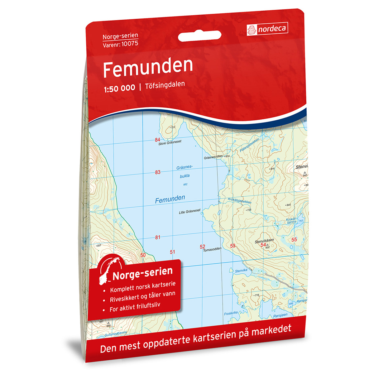
Femunden Norway Series Hiking Map
Detailed hiking map of Femunden in the Norway Series – the classic red hiking maps that have been a faithful companion in Norwegian backpacks for generations. The maps are systematically divided with overlaps with adjacent maps, providing excellent continuity as you move through the terrain.
-
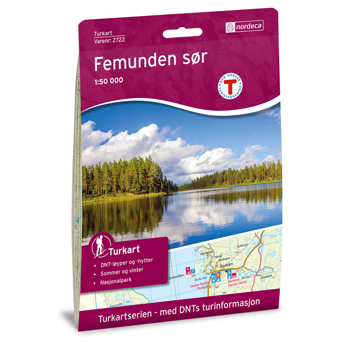
Femunden South DNT Hiking Map
Detailed hiking map of Femunden South, developed by Nordic Maps (formerly Nordeca) in collaboration with the Norwegian Trekking Association. DNT Hiking Maps have been the preferred choice for hikers for decades, known for their excellent readability, thoughtful design, and practical information tailored for active outdoor life.
-
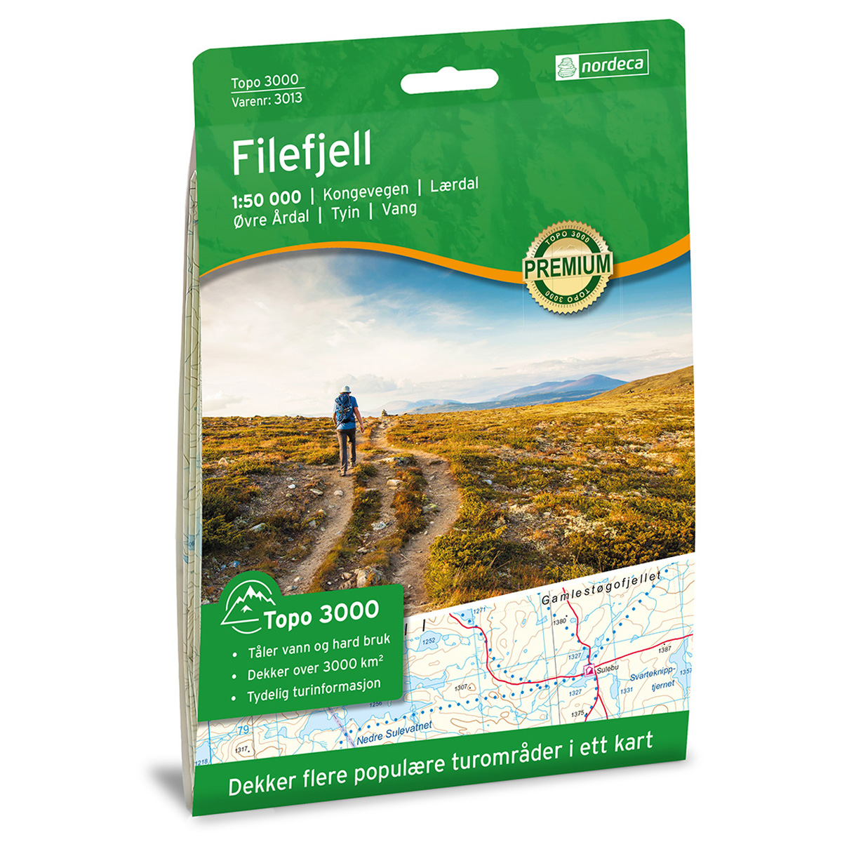
Filefjell Topo 3000 Hiking Map
Detailed topographic hiking map of Filefjell Topo 3000 Hiking Map, from Nordic Maps (formerly Nordeca). Topo 3000 is a popular map series for mountain hikes and longer treks in varied terrain.
-

Finland – road map (multilingual)
Clear road map of the whole of Finland at a scale of 1:500,000, suitable for car, motorcycle and campervan trips. The map contains tourist information, a digital location register and a clear representation of the road network. The map is printed double-sided and the map is published in 2025.
-
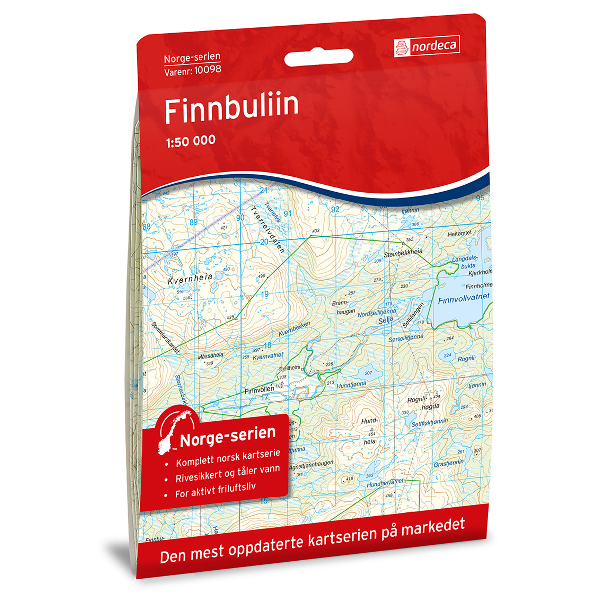
Finnbuliin Norway Series Hiking Map
Detailed hiking map of Finnbuliin in the Norway series – the classic red hiking maps that have been a trusted companion in Norwegian backpacks for generations. The maps are systematically divided with overlap to adjacent maps, providing good continuity as you move through the terrain.
-
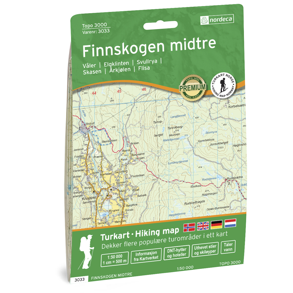
Finnskogen Midtre Topo 3000 Turkart
Detailed topographic hiking map of Finnskogen Midtre Topo 3000 Turkart, from Nordic Maps (formerly Nordeca). Topo 3000 is a popular map series for mountain hikes and longer hikes in varied terrain.
-

Finnskogen Nord Topo 3000 Turkart
Detailed topographic hiking map of Finnskogen Nord Topo 3000 Turkart, from Nordic Maps (formerly Nordeca). Topo 3000 is a popular map series for mountain hikes and longer hikes in varied terrain.
-
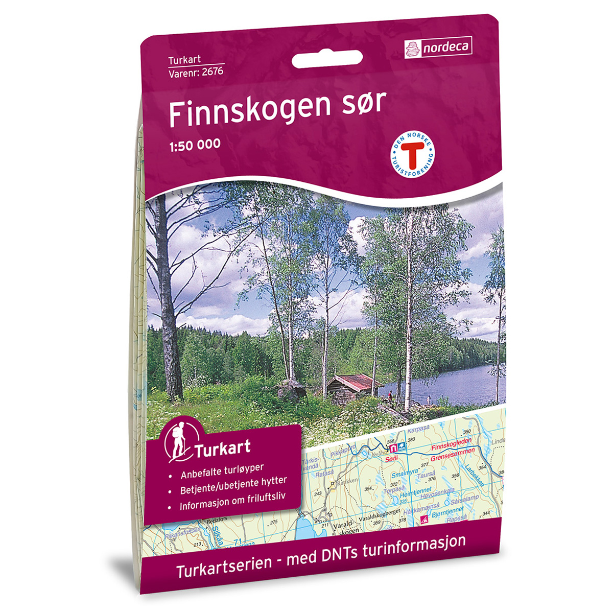
Finnskogen Sør DNT Hiking Map
Detailed hiking map of Finnskogen Sør, developed by Nordic Maps (formerly Nordeca) in collaboration with the Norwegian Trekking Association. DNT Hiking Maps have been the preferred choice for hikers for decades, known for their excellent readability, thoughtful design, and practical information tailored for active outdoor life.
-
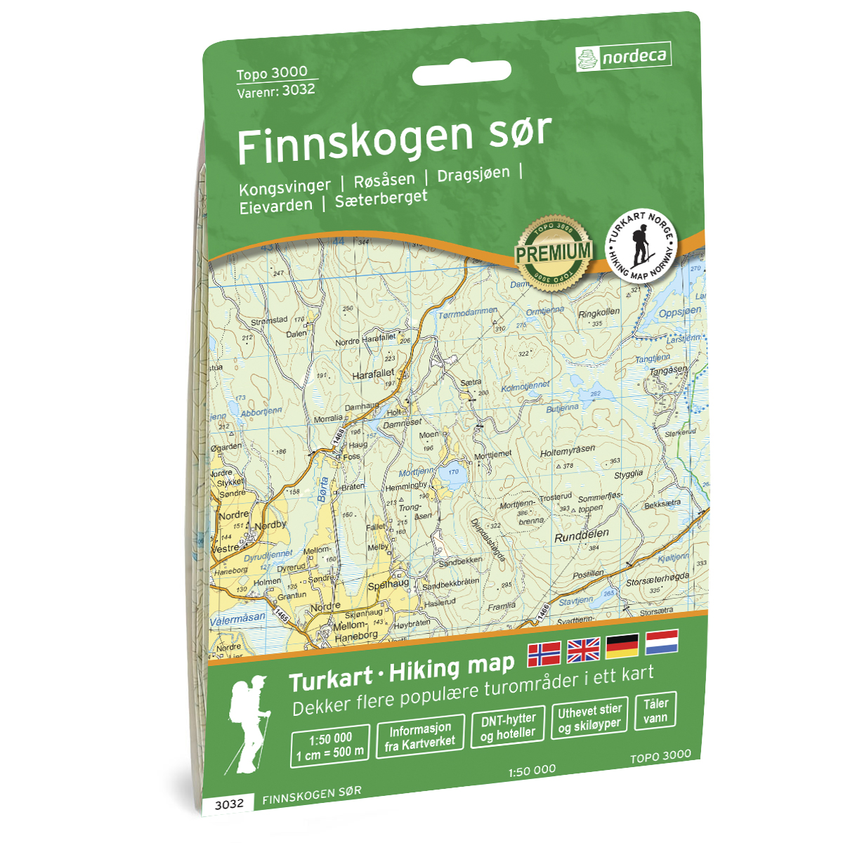
Finnskogen Sør Topo 3000 Turkart
Detailed topographic hiking map of Finnskogen Sør Topo 3000 Turkart, from Nordic Maps (formerly Nordeca). Topo 3000 is a popular map series for mountain hikes and longer hikes in varied terrain.
-
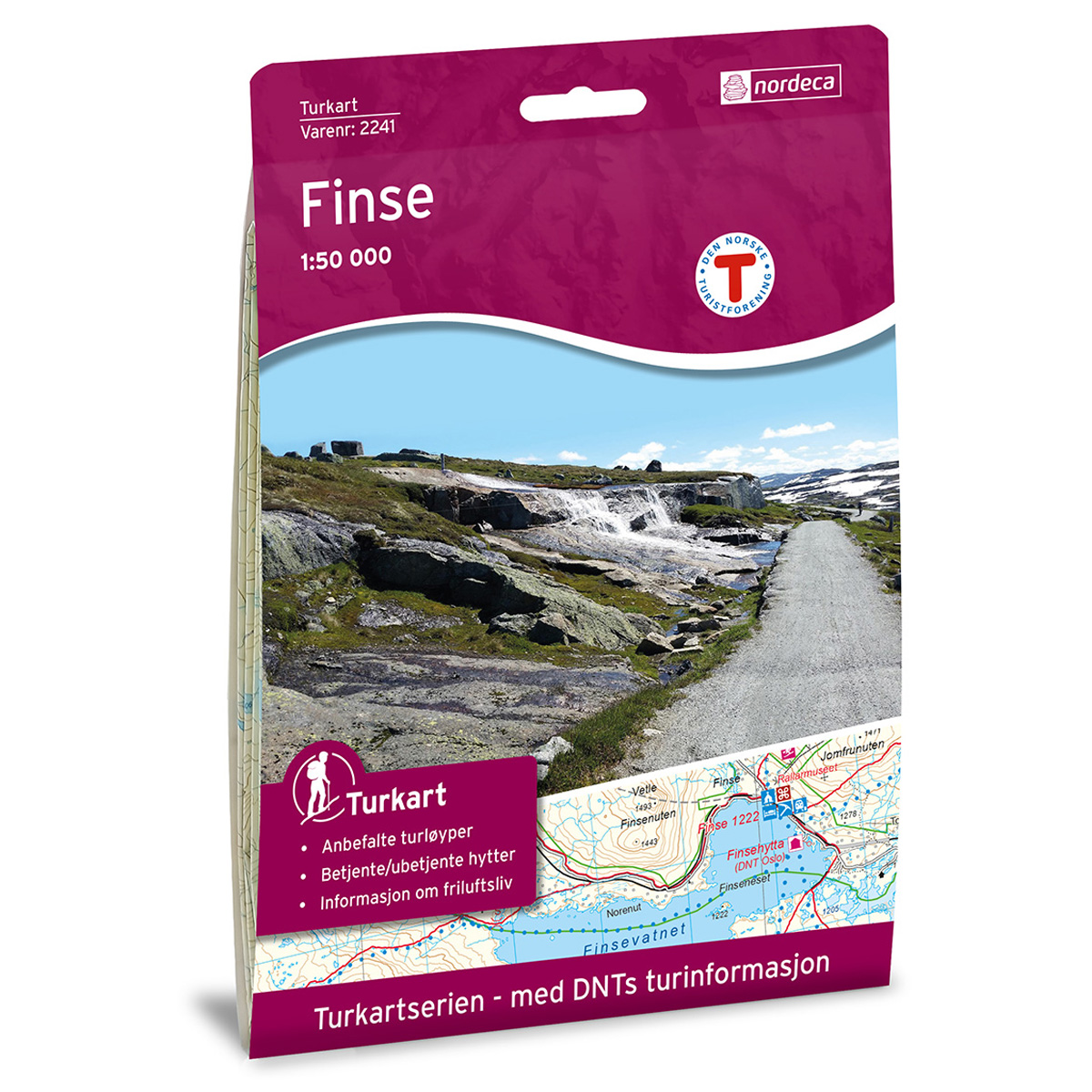
Finse DNT Hiking Map
Detailed hiking map of Finse, developed by Nordic Maps (formerly Nordeca) in collaboration with the Norwegian Trekking Association. DNT Hiking Maps have been the first choice for hikers for decades, known for excellent readability, thoughtful design, and practical information suited for active outdoor life.
-
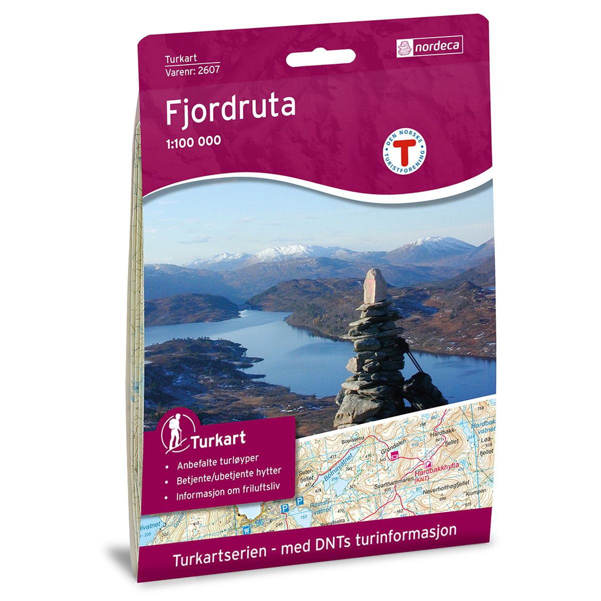
Fjordruta DNT Turkart
Detailed map of the Fjord Route, developed by Nordic Maps (formerly Nordeca) in collaboration with the Norwegian Tourist Association. DNT Hiking Maps have been the preferred choice for hikers for decades, known for their excellent readability, thoughtful design, and practical information tailored for active outdoor life.
-
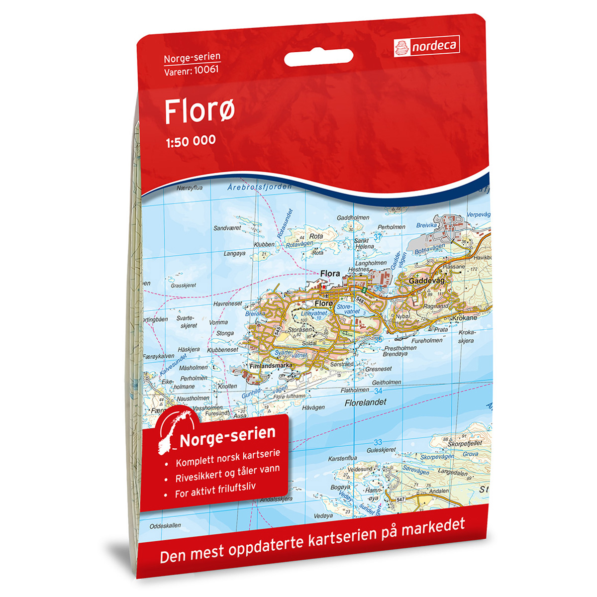
Florø Norge-serien Hiking Map
Detailed hiking map of Florø in the Norge-serien – the classic red hiking maps that have been a trusted companion in Norwegian backpacks for generations. The maps are systematically divided with overlap to adjacent maps, providing good continuity as you move through the terrain.
-
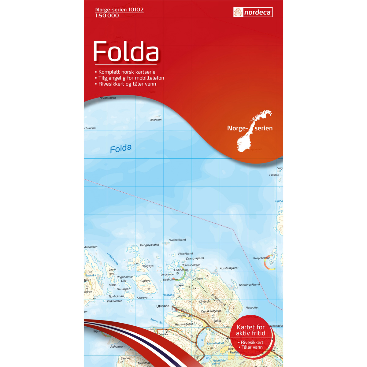
Folda Norway Series Hiking Map
Detailed hiking map of Folda in the Norway Series – the classic red hiking maps that have been a trusted companion in Norwegian backpacks for generations. The maps are systematically divided with overlaps to adjacent maps, ensuring good continuity as you move through the terrain.
-

Folgefonna National Park DNT Turkart
Detailed hiking map of Folgefonna National Park, developed by Nordic Maps (formerly Nordeca) in collaboration with the Norwegian Tourist Association. DNT Hiking Maps have been the preferred choice for hikers for decades, known for their excellent readability, thoughtful design, and practical information tailored for active outdoor life.
-
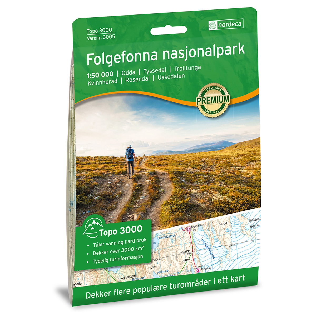
Folgefonna National Park Topo 3000 Hiking Map
Detailed topographic hiking map of Folgefonna National Park Topo 3000 Hiking Map, from Nordic Maps (formerly Nordeca). Topo 3000 is a popular map series for mountain hiking and longer trips in varied terrain.
-
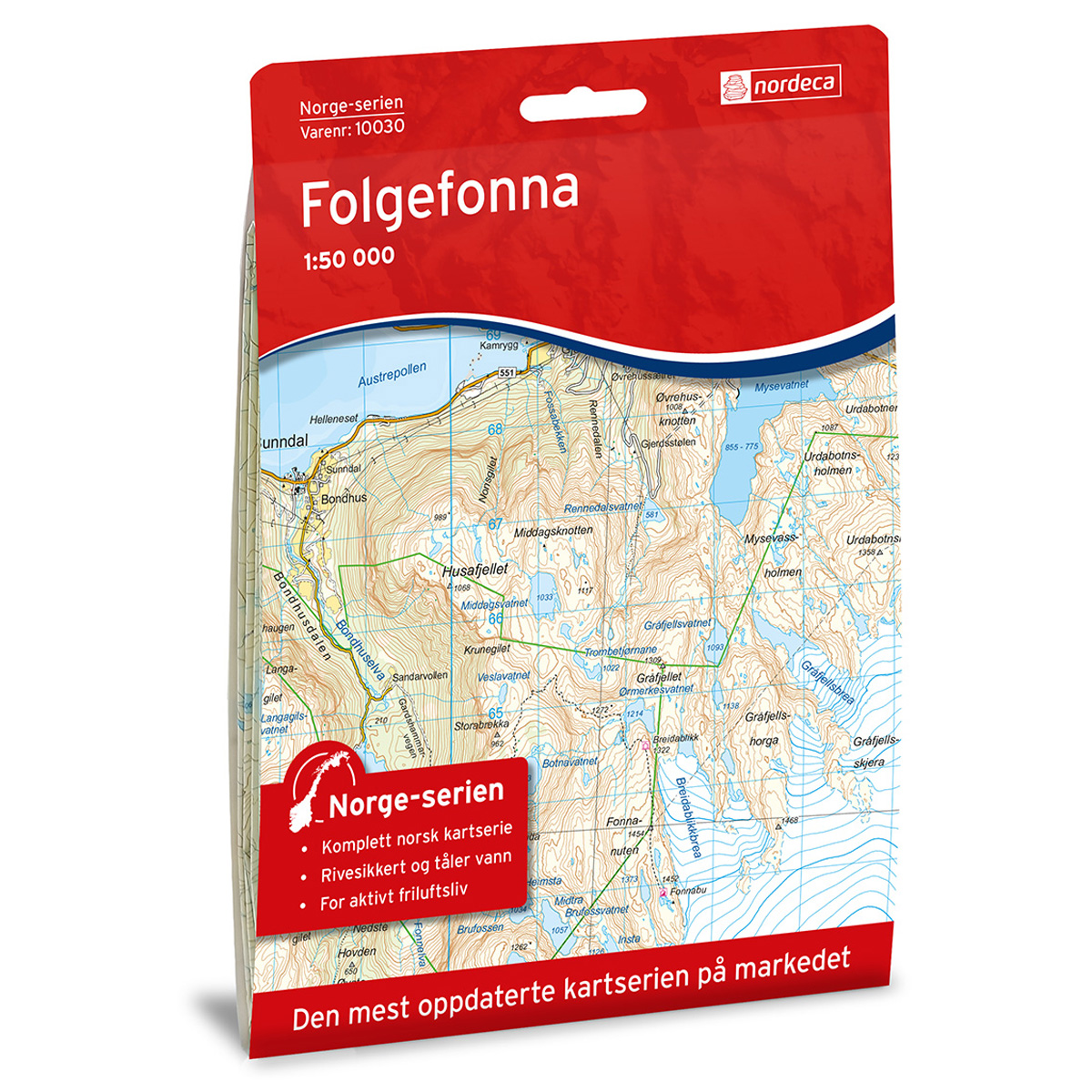
Folgefonna The Norway Series Hiking Map
Detailed hiking map of Folgefonna from The Norway Series – the classic red hiking maps that have been a faithful companion in Norwegian backpacks for generations. The maps are systematically divided with overlap to adjacent maps, ensuring good continuity as you move through the terrain.
-
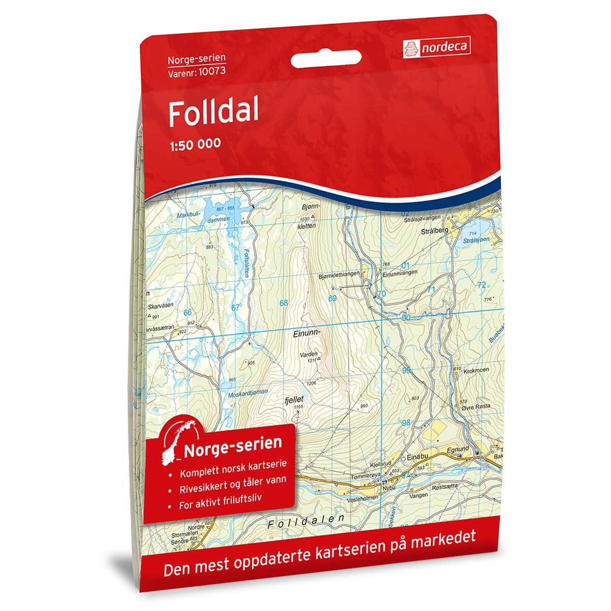
Folldal Norway Series Hiking Map
Detailed hiking map of Folldal in the Norway series – the classic red hiking maps that have been a trusted companion in Norwegian backpacks for several generations. The maps are systematically divided with overlap to adjacent maps, providing good continuity as you move through the terrain.
-
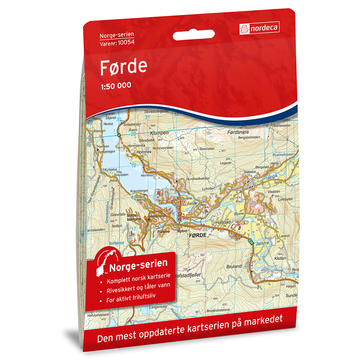
Førde Norway Series Hiking Map
Detailed hiking map of Førde in the Norway Series – the classic red hiking maps that have been a faithful companion in Norwegian backpacks for generations. The maps are systematically divided with overlaps for adjacent maps, providing seamless continuity as you move through the terrain.