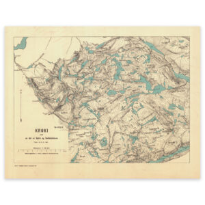
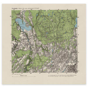

 Agder 1858


Agder 1858
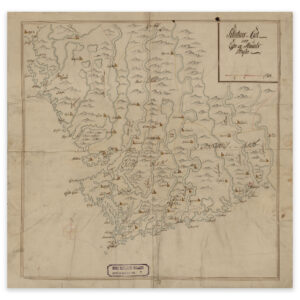
This hand-drawn map from 1858 shows the area between Lillesand and Tromøya near Arendal, and inland to Froland and Vennesla. The map comes in its original size of 58.3 x 58.5 cm. The size with frame and passepartout is 76.3 x 77.5 cm. Would you like the map in a different size? Just get in touch – we’ll be happy to give you a quote for customization.