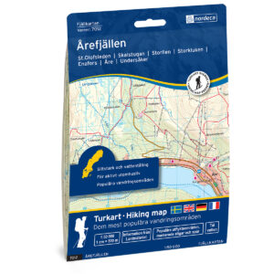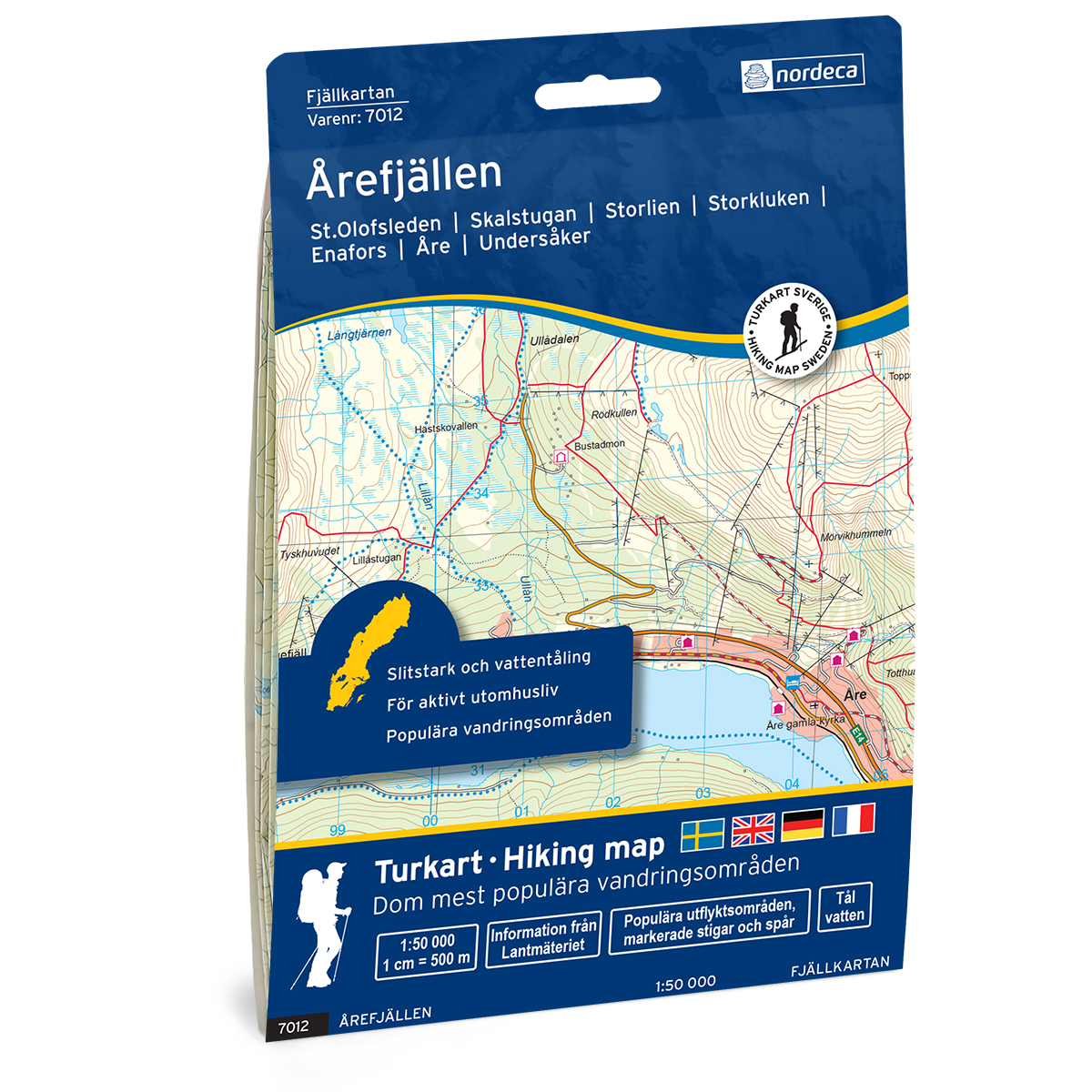
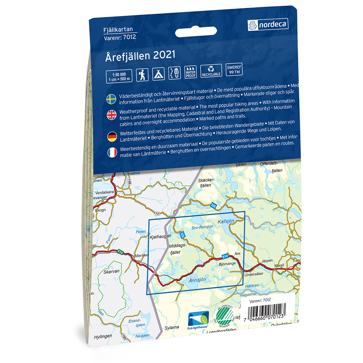
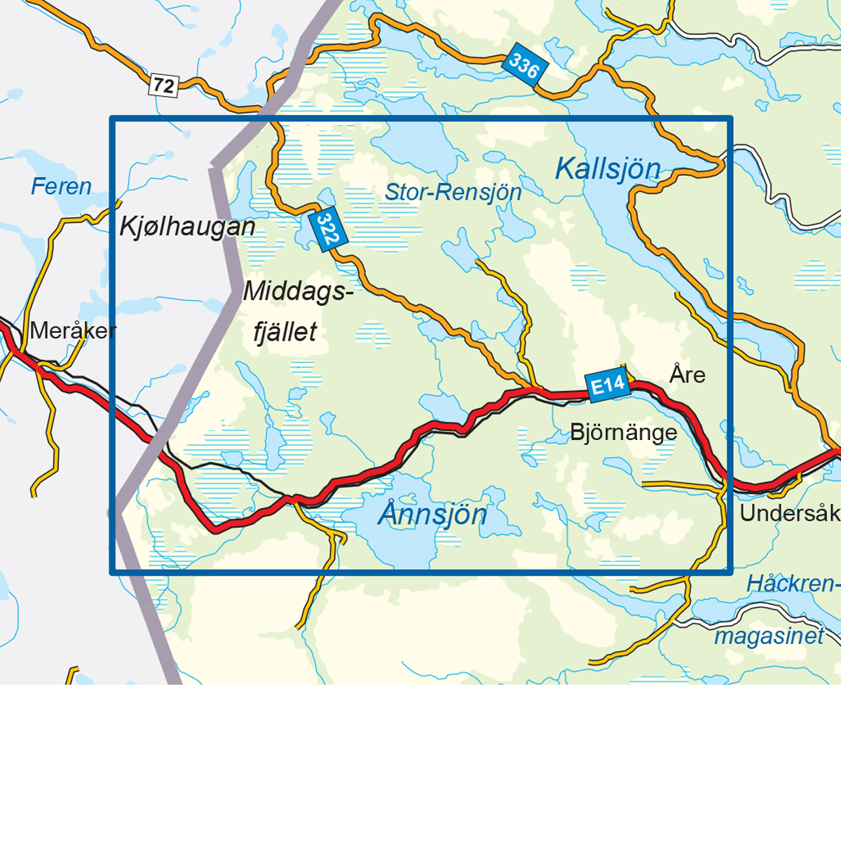
Description
This map covers the area Årefjällen Swedish Mountain Map and is developed by Nordic Maps (formerly Nordeca) for practical use for travel and planning in the mountains. The map provides a clear representation of terrain, trails, water and key landscape elements, and is adapted to active outdoor life in Nordic conditions.
The map is printed at a scale of 1:50,000 and is printed on water-resistant and durable map paper that can withstand tough use in the mountains. The good readability makes the map well suited for both planning and use during a trip.
The map is released in 2021. Although some details may have changed since its publication, the map still provides a reliable and clear basis for travel in the area.
The map covers places such as Storlien, Enafors, Åre, Undersåker, Handöl, Klocka, Teveldalen, Medstugan, Trillevallen, Duved, Huså and Kall.