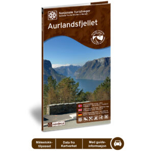
Description
This road guide offers a comprehensive and inspiring presentation of the car journey along Aurlandsfjellet. The guide provides an overview of the route, landscape, and selected stopping points, and is designed to facilitate the planning and execution of your trip.
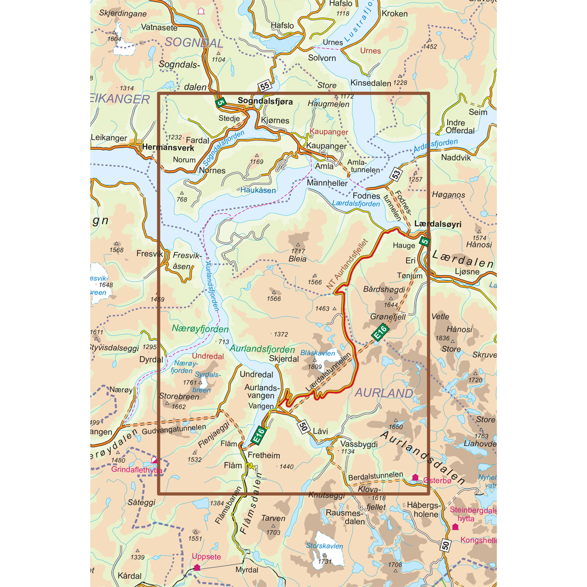
The guide is developed to provide a comprehensive overview and inspiration for your car journey, and is well-suited as a supplement to digital navigation. The map material features a 1:50,000 scale and is adapted for its purpose as a road guide, not for detailed navigation.
The guide was published in 2014. Although some roads, facilities, and destination-related details may have changed since its publication, the guide still offers a good overview of the area and is well-suited as inspiration and travel assistance for your car journey.
The map covers locations such as Kaupanger, Fresvik, Frønningen, Fardal, Sogndalsfjøra, Lærdalsøyri, Aurlandsfjorden, Flåm, Vassbygdi, and Aurlandsvangen.