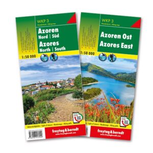
Description
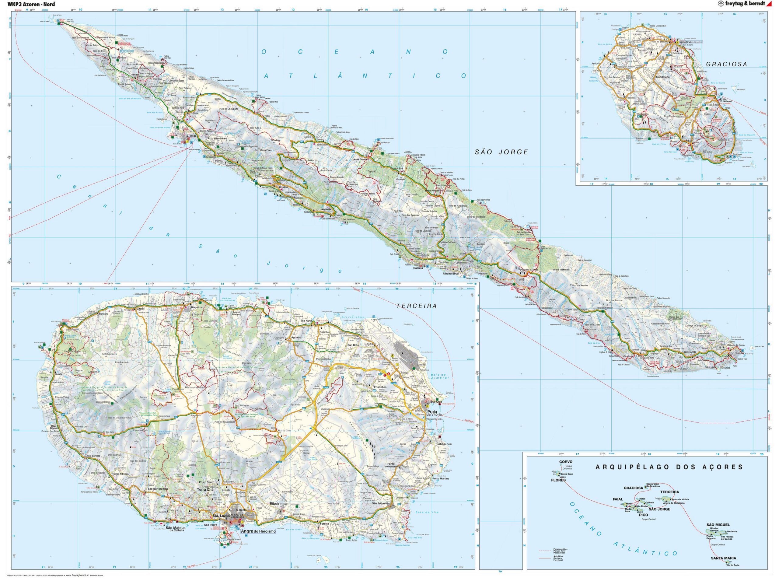
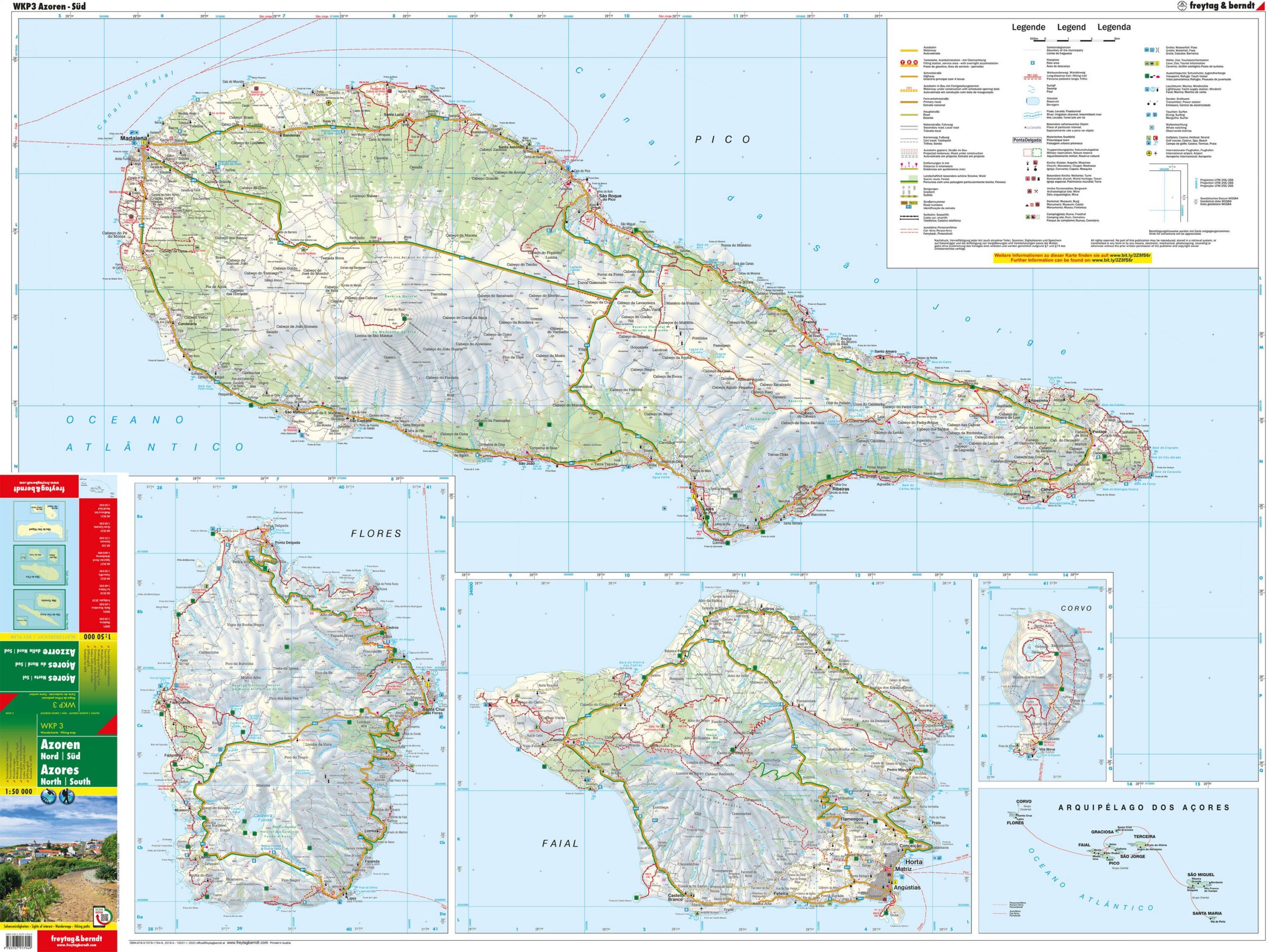
This is a complete walking map set of the Azores, consisting of two map sheets at a scale of 1:50,000. The maps cover both the northern and southern parts of the archipelago and provide a high level of detail for hiking, nature experiences and exploring the landscape on foot.
The maps show marked hiking routes, terrain shapes, natural monuments, sights and outdoor activities, and are designed for active users who want precise orientation in varied and hilly terrain. Thanks to detailed digital cartography and clear use of symbols, the maps work well for both short day trips and longer hikes.
The set contains tourist information, walking suggestions, city maps and a place index, and the maps are GPS-adapted for use with digital aids. The maps are printed double-sided and come in a practical format that is easy to carry in your backpack.
The map is multilingual and can be used regardless of language, as walking maps are mainly based on symbols, paths and place names.
The map set is published in 2019 by freytag & berndt, and comes as a hiking map set with two sheets in format approx. 205 × 125 mm.