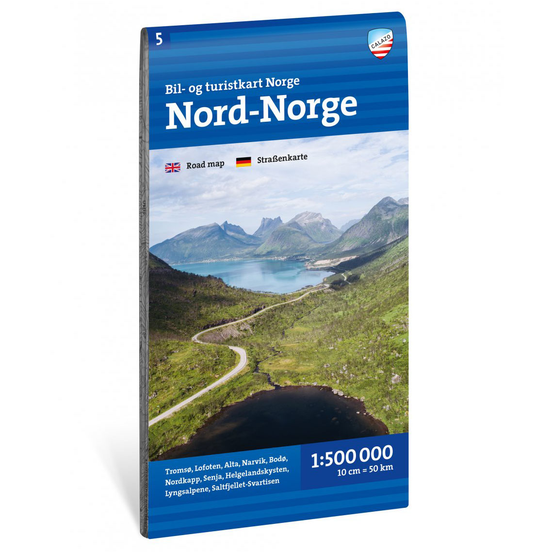

Description
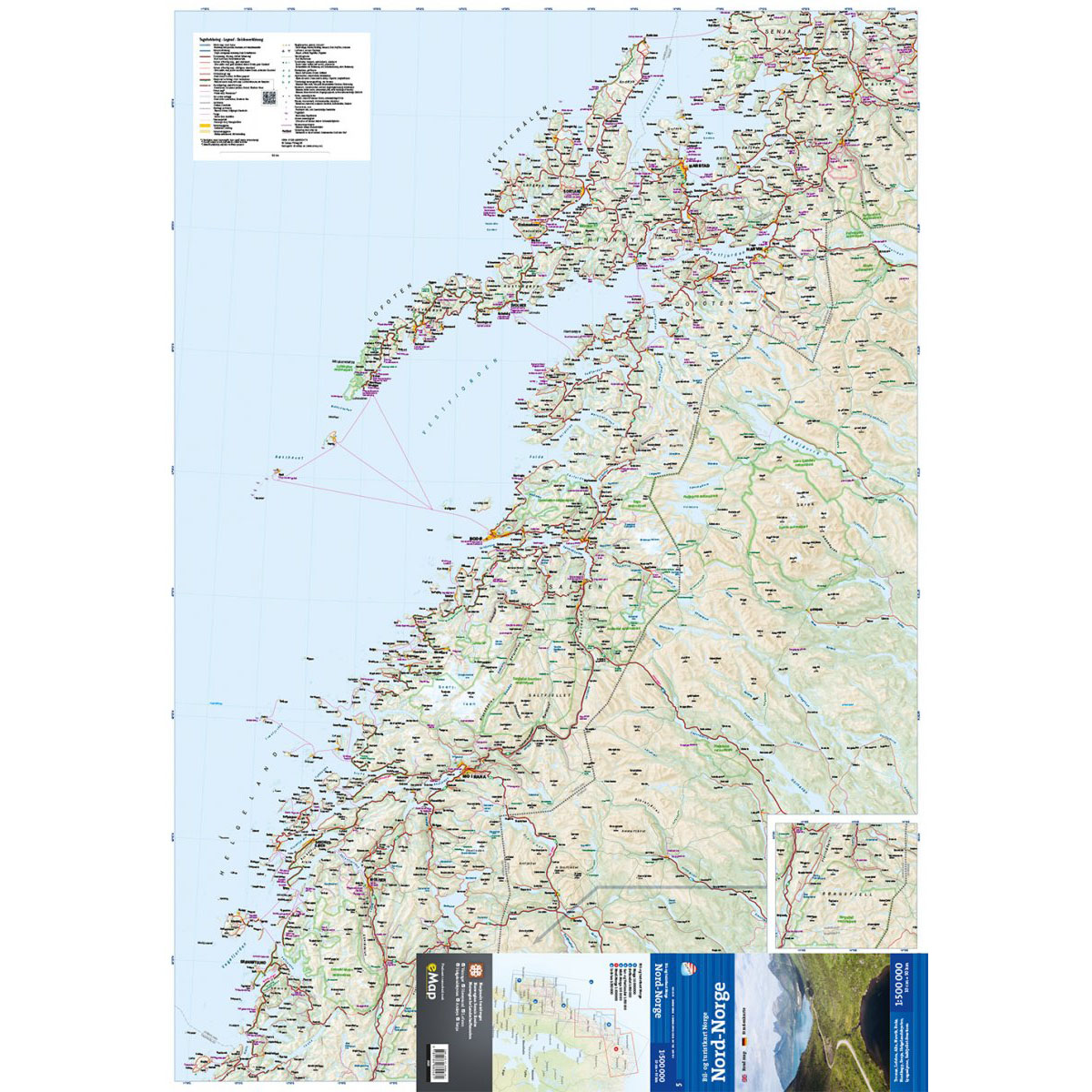
This car and tourist map covers the whole of Northern Norway and provides an overview of the region from the Helgeland coast in the south to the North Cape in the north. The map shows Lofoten, Tromsø and central parts of Finnmark, and is designed for planning longer road trips through some of Norway’s most spectacular coastal and mountain areas.
Roads, ferry connections and towns are clearly marked, and the map highlights national tourist routes, natural attractions and cultural-historical sights. It makes it easy to plan journeys between fjords, islands, mountains and coastal communities – whether you’re traveling by car, motorhome or motorcycle.
The map is at a scale of 1:500,000, which provides a broad regional overview. At this scale, 1 cm on the map corresponds to 5 km in the terrain, which makes the map particularly suitable for planning longer stages and providing an overview of large areas.
The map is printed on durable paper suitable for travel.
Calazo Förlag is a Swedish publishing house specializing in maps and books for outdoor life in the Nordic region.
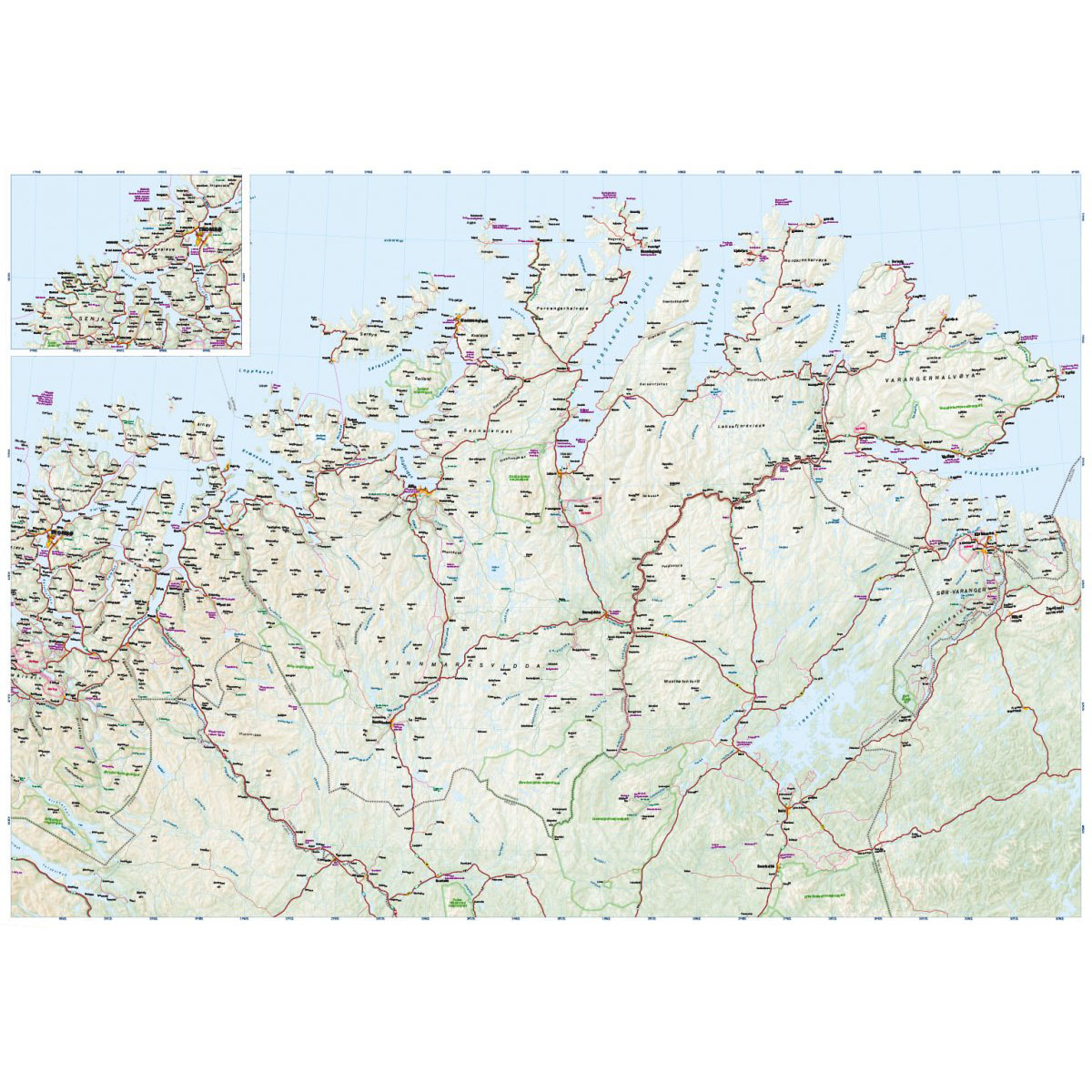
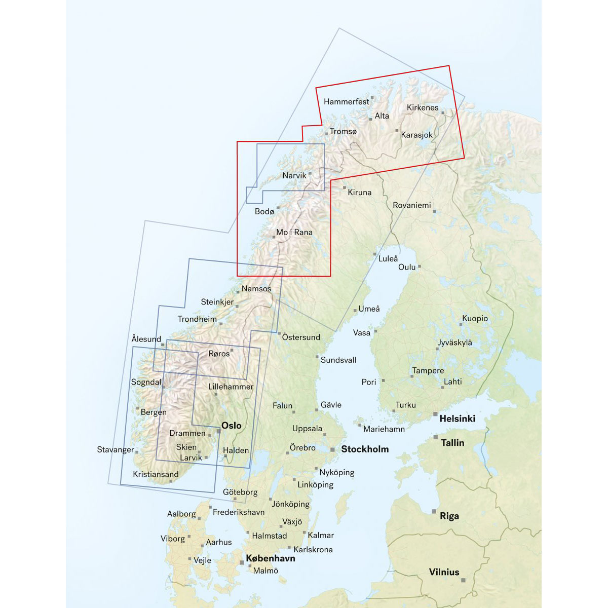
Here you can see the area the map covers:
The map is released in 2025.