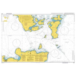
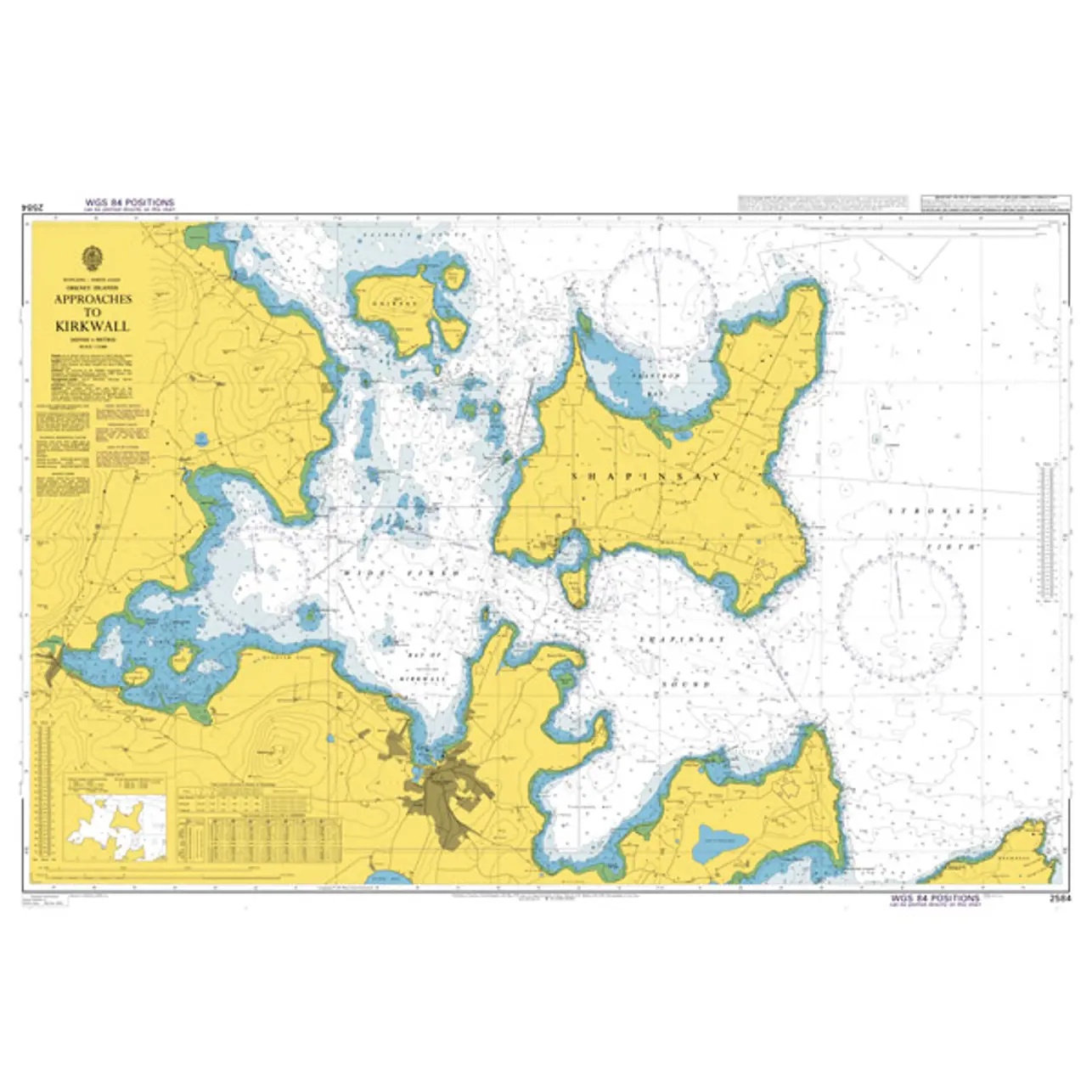
British Admiralty Chart 2584 – Approaches to Kirkwall

Official British Admiralty nautical chart covering the approaches to Kirkwall in Orkney, adapted for safe navigation and sailing in currents.

Delivery is made in cooperation with StormGeo UK, official distributor of Admiralty maps. If the map is not in stock in Norway, it will be sent separately by DHL Express from the UK. Normal delivery time is 2-4 working days to most addresses in Norway. If delivery time is critical, please contact us and we will try to arrange the fastest possible delivery directly to the ship or port.

94,60 

British Admiralty

    Description

    This British Admiralty chart covers the approaches to Kirkwall and the surrounding waters of the Orkney Islands north of Scotland. The chart shows the coastline, islands, reefs, depths, navigation marks and leads necessary for safe navigation in an area characterized by strong tidal currents and complex topography.

    The chart is well-suited for approaching, transiting and planning voyages to Kirkwall harbor, as well as inter-island travel in Orkney. Developed for professional navigators, it provides a reliable chart basis for safe operation in both coastal and open waters around Orkney.