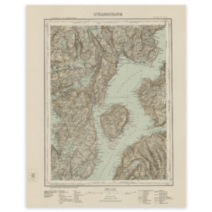
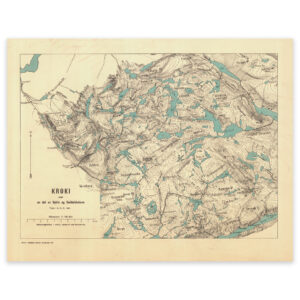
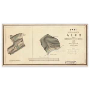

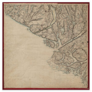
 Dalane 1857
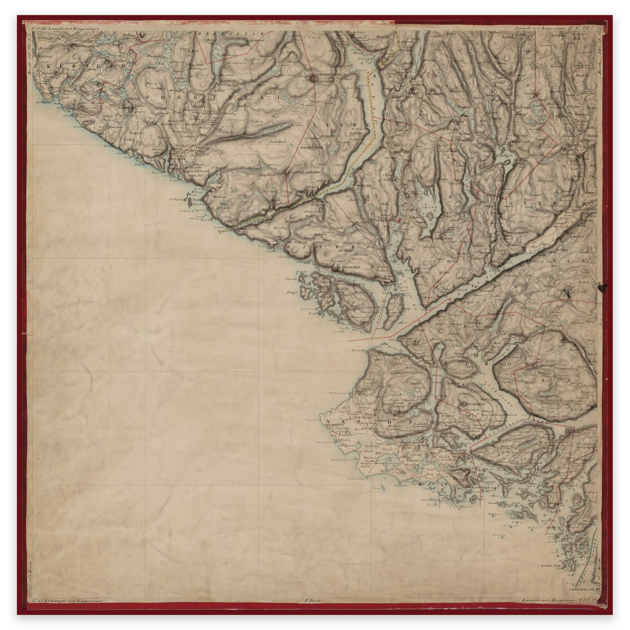

Dalane 1857
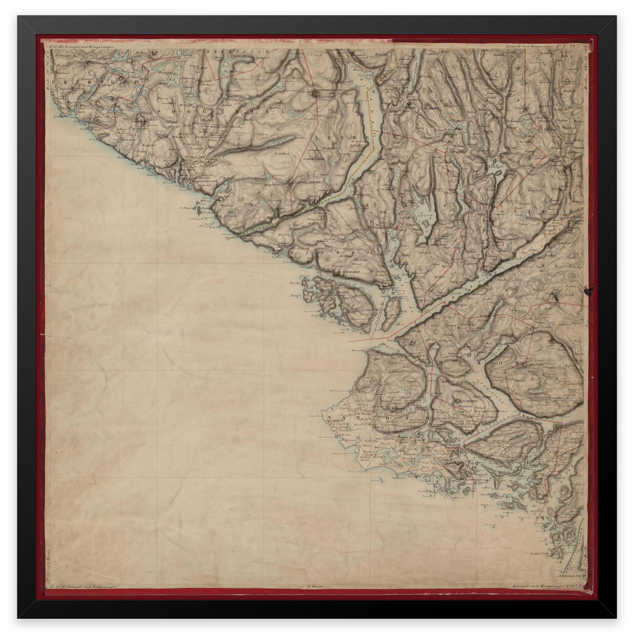
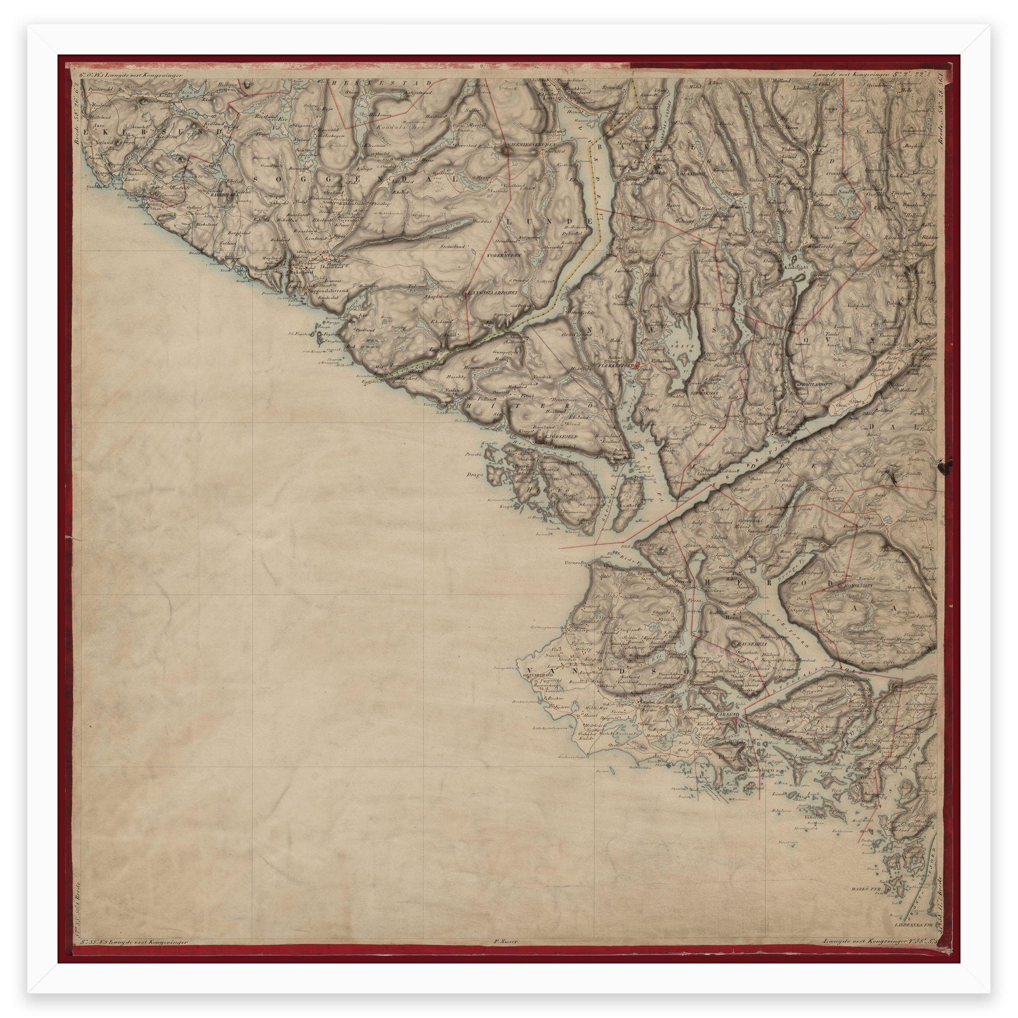
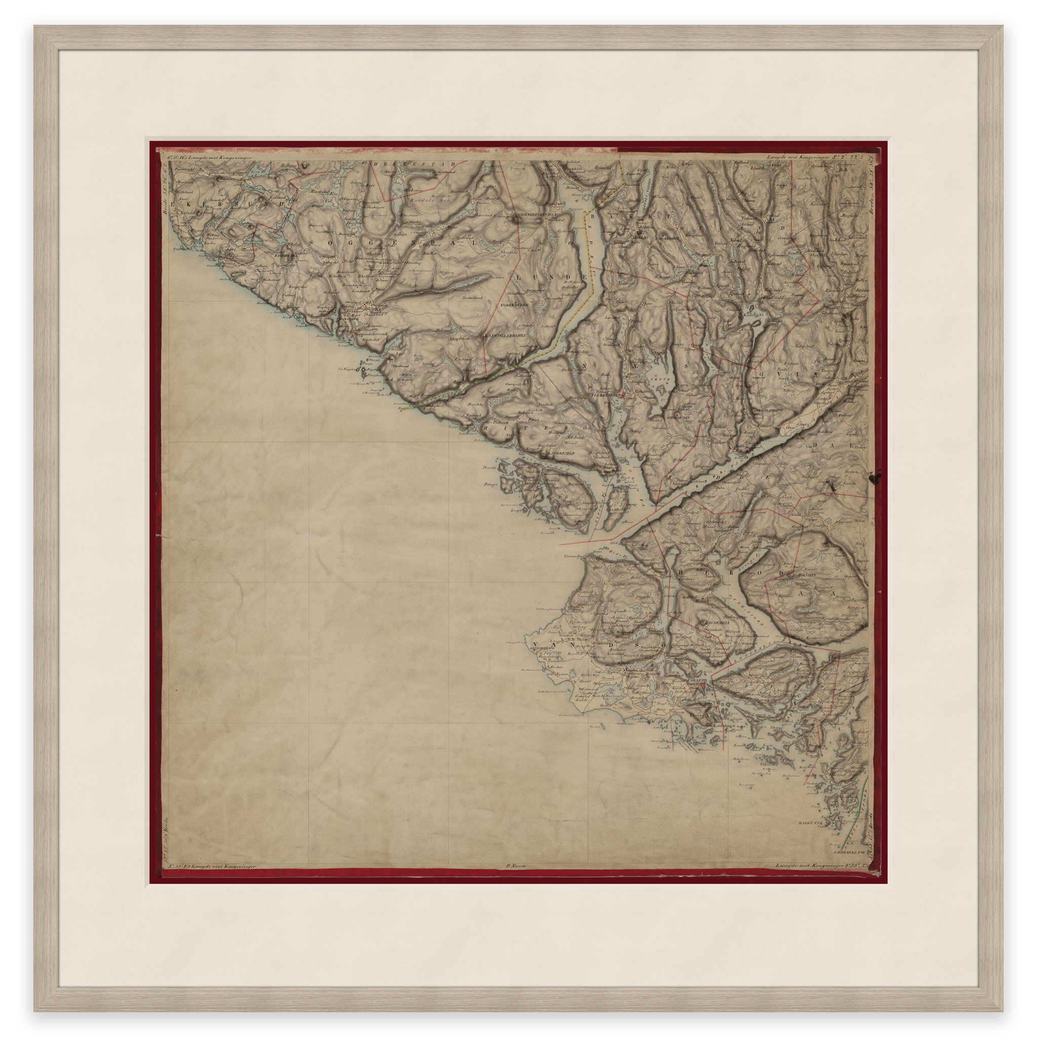
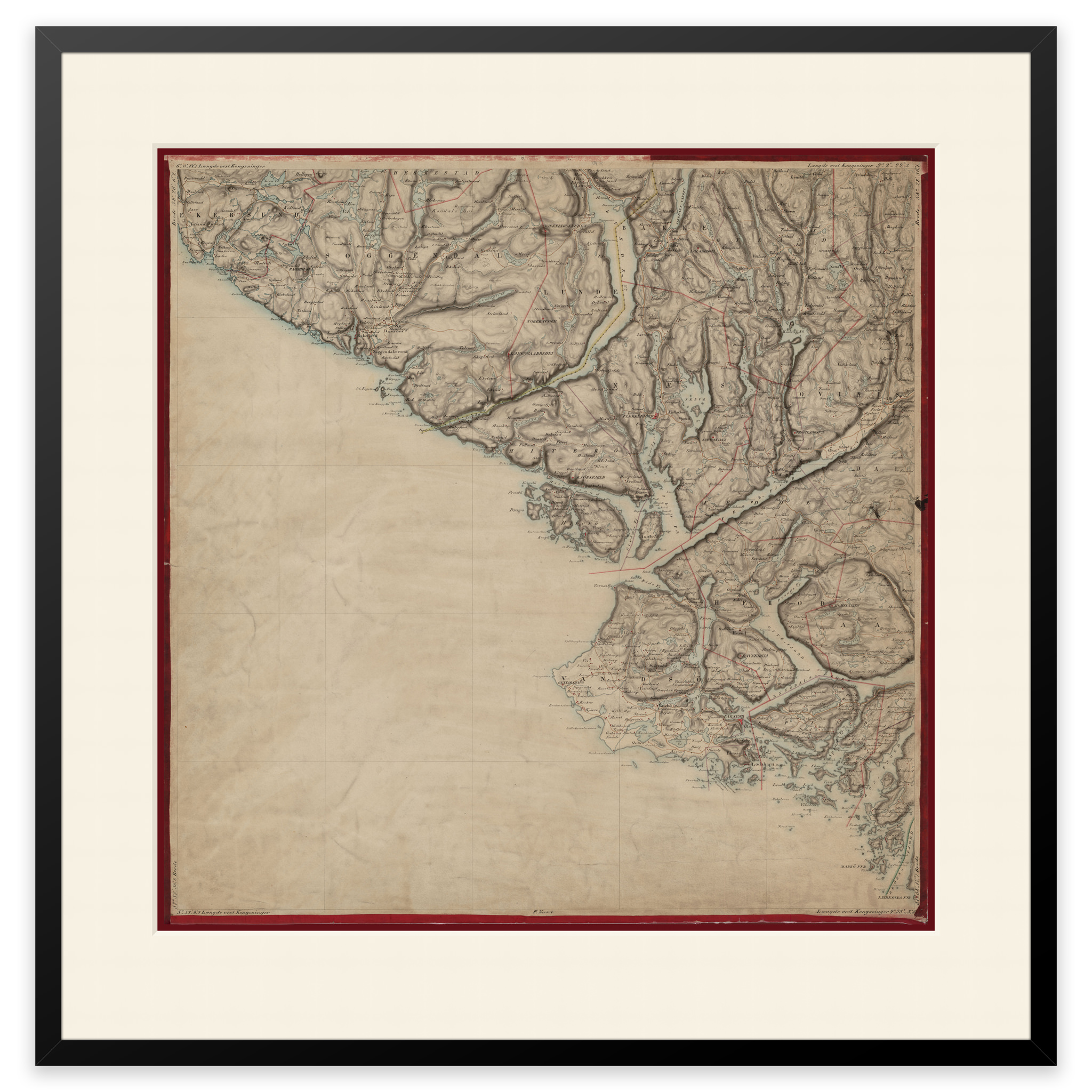
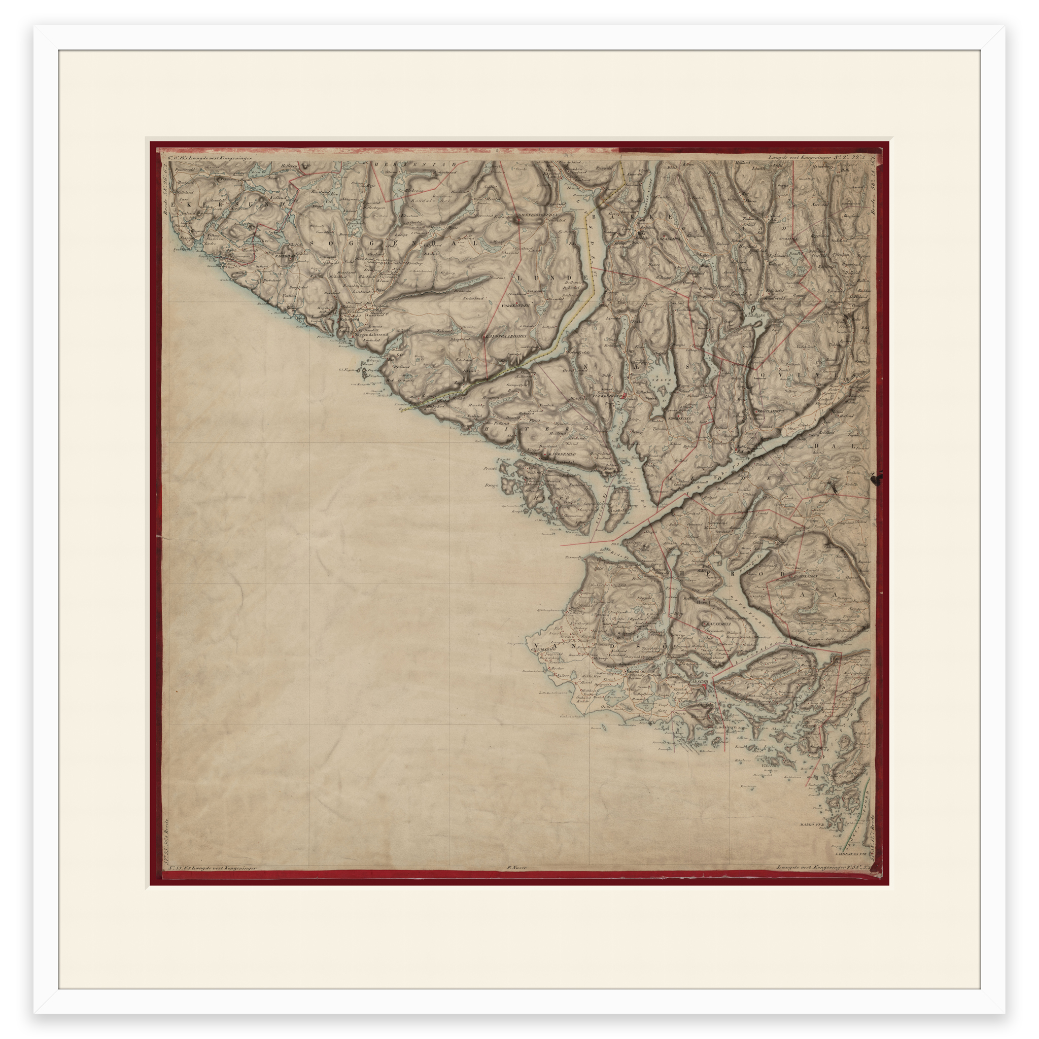
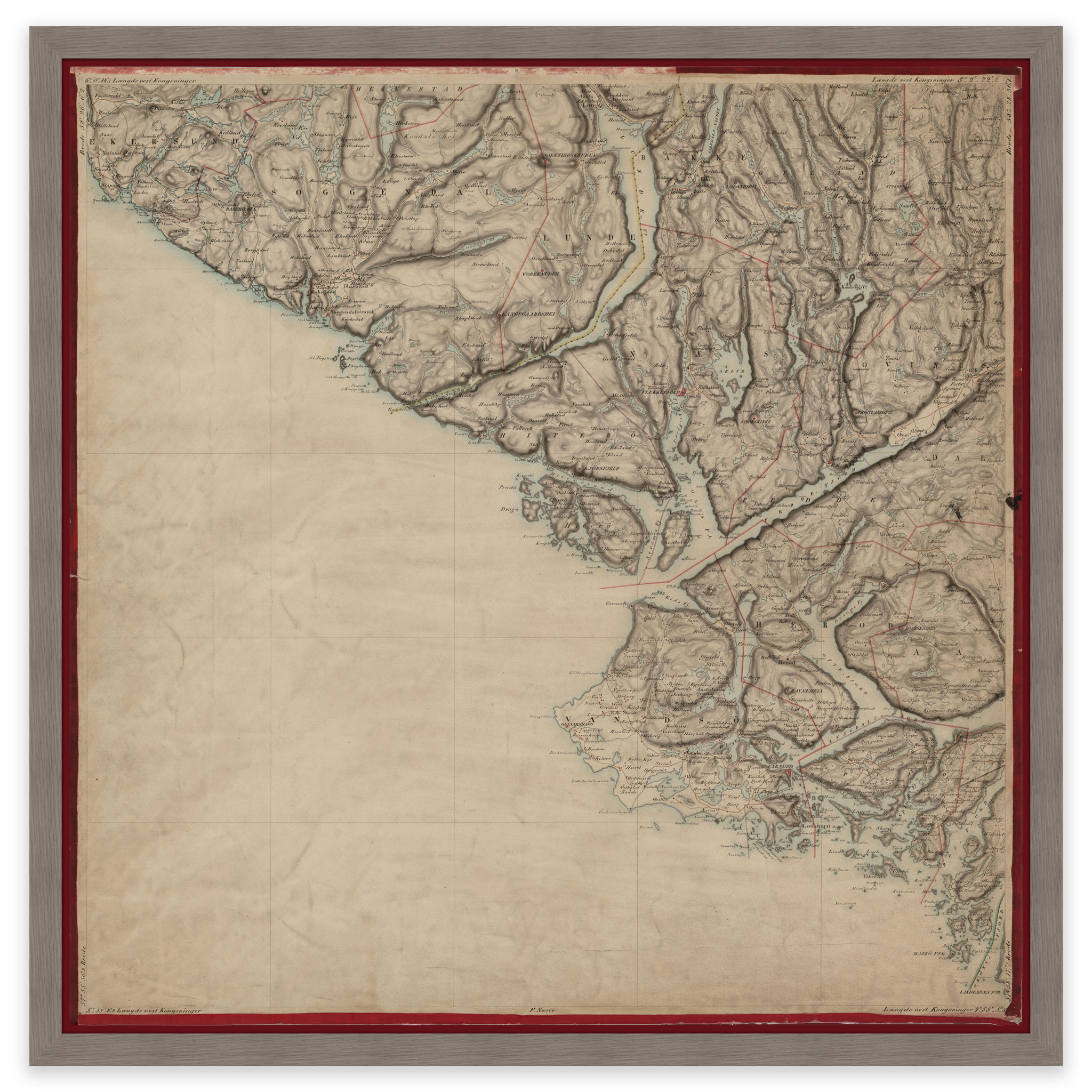
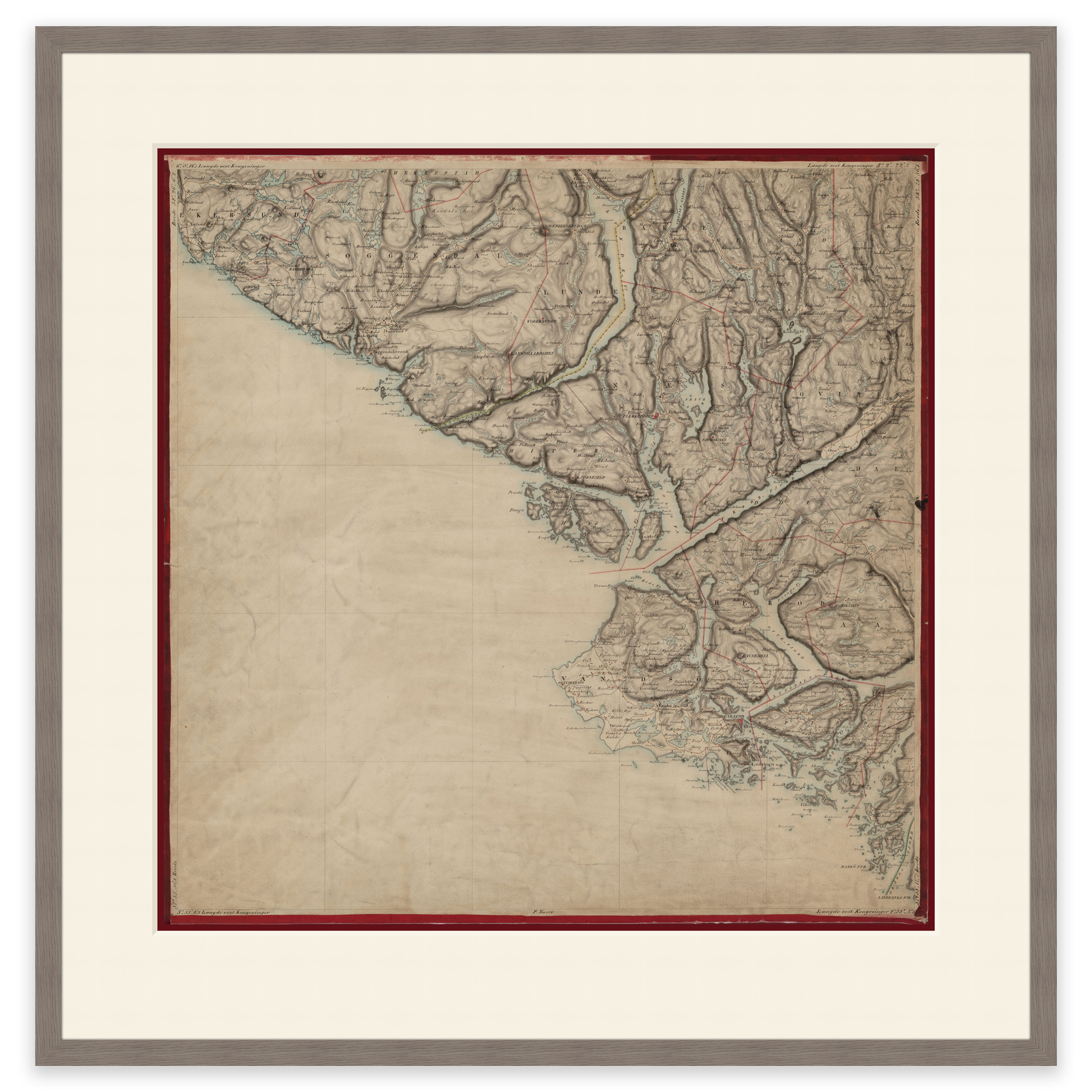
In 1857, H. Gill and F. Næser created this hand-drawn map of the area Egersund, Sokndal, Flekkefjord, Lindesnes, Fedafjorden and Moi. The map comes in its original size of 59.8 x 60.2 cm. The size with frame and passe-partout is 77.8 x 79.2 cm. Would you like the map in a different size? Just get in touch – we’ll be happy to give you a quote for customization.