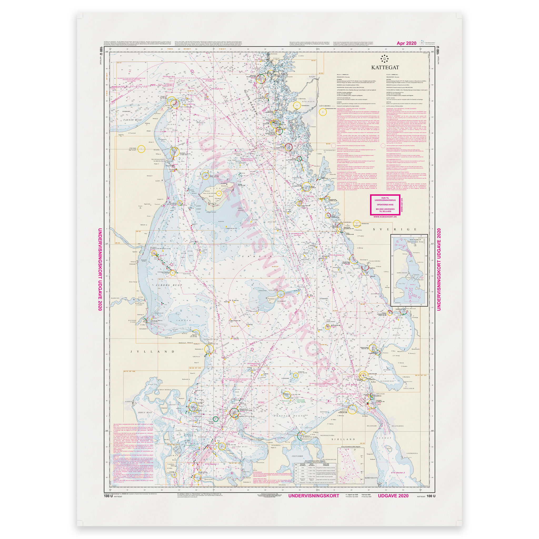
Description
Denmark Chart 100U – Teaching Chart 100 is an official Danish nautical chart published by the Danish Geodata Agency, specially developed for training and teaching navigation.
This is a teaching chart with a simplified and educational presentation of the chart area. The chart is designed for use in navigation courses, maritime education and other theoretical training, where the purpose is to practice map understanding, symbol use and navigation principles without full operational detail.
The map is produced as Print-on-Demand (POD) under license from the Norwegian Geodata Agency. This means that the map is printed when ordered and updated to the latest available Notices to Mariners at the time of production.
You receive a fresh reprint based on current official data.
The map is printed on durable, matte 125 g paper approved by the Norwegian Geodata Agency for official nautical charts.
Corrections are published on an ongoing basis, and new updates may occur after printing. However, Print-on-Demand ensures that you receive the most up-to-date paper edition that is conveniently available when ordering.