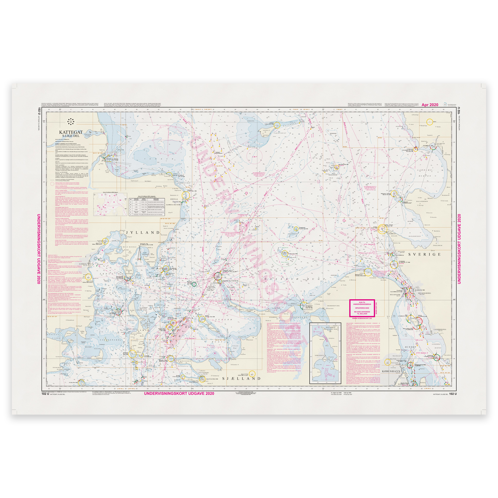
Description
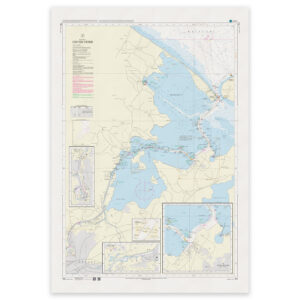
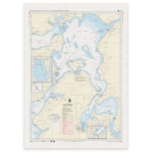
Denmark Chart 102U – Teaching Chart 102 is an official Danish teaching chart published by the Danish Geodata Agency, developed for use in navigation training and maritime education.
This chart is a pedagogically adapted version of the operational chart and is used in courses, school teaching and exam preparation. The content is structured for learning, with clear presentation of chart data, symbols and navigational information used in practical and theoretical navigation.
The map is intended for exercises and training – not as a primary operational sailing map.
The map is delivered as Print-on-Demand (POD) under license from the Norwegian Geodata Agency. This means that the map is printed when ordered and updated to the latest available Notices to Mariners at the time of production.
You’ll receive a fresh reprint based on current official map data.
Printed on durable, matte 125 g paper approved by the Norwegian Geodata Agency for official nautical charts.
Corrections are published continuously, and new updates may occur after printing. However, print-on-demand ensures that you receive the most up-to-date paper edition available when you order.