
Description
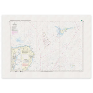
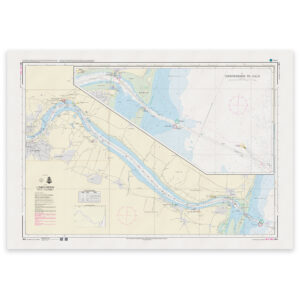
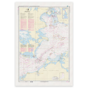
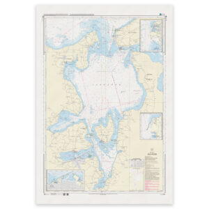
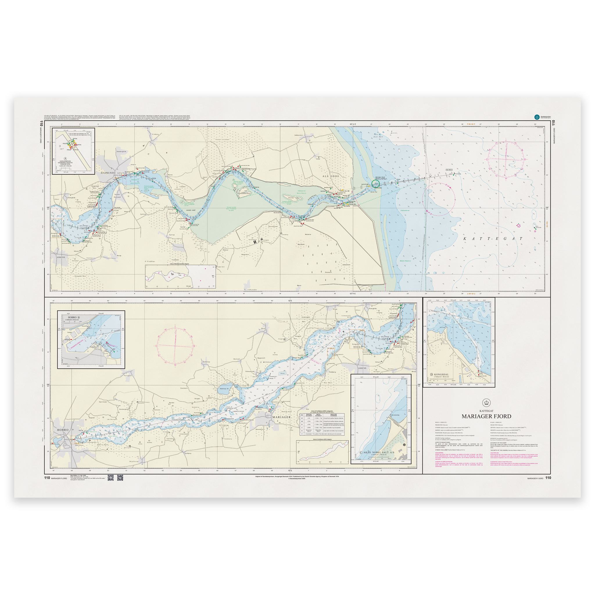
Denmark Chart 110 – Kattegat, Mariager Fjord is an official Danish nautical chart published by Geodatastyrelsen at a scale of 1:30 000.
The map covers the approach from Kattegat and further into Mariager Fjord, and provides a detailed presentation of the channel, shoals, depth conditions, beacons, harbor areas and other navigational installations in the area.
This is a nautical chart, developed for precise coastal and fjord navigation. The detailed scale makes the map particularly suitable for:
Approach from open water
Navigation in fjords
Maneuvering in tight spaces
Calling at smaller ports and marinas
The map provides a high level of detail and is suitable for both planning and operational sailing in Mariager Fjord.
The map is delivered as Print-on-Demand (POD) under license from Geodatastyrelsen. It is printed when ordered and updated to the latest available Notices to Mariners at the time of production.
You’ll receive a fresh and updated reprint based on current official map data.
The chart is produced on durable, matte 125 g paper approved for official nautical charts.
Corrections are published continuously and new updates may occur after printing. Print-on-Demand ensures that you get the most up-to-date paper edition available when ordering.