Description
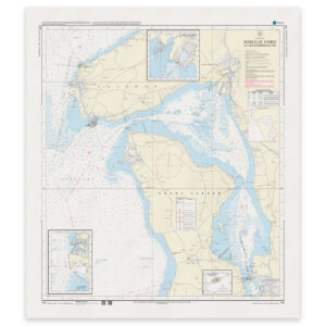
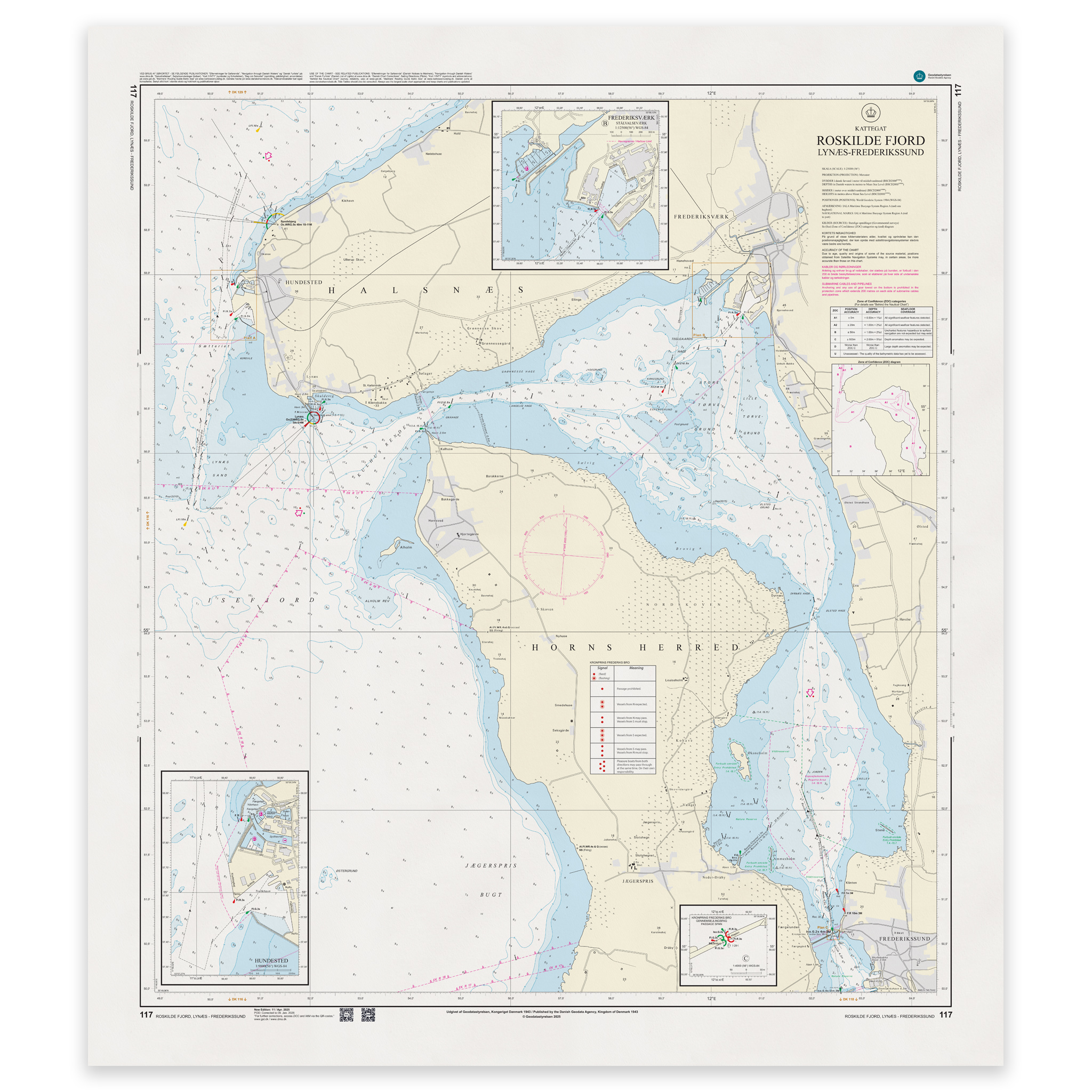
Denmark Chart 117 – Roskilde Fjord, Lynæs-Frederikssund is an official Danish nautical chart published by Geodatastyrelsen at a scale of 1:25 000.
The map covers the stretch from the entrance at Lynæs and further into Roskilde Fjord to Frederikssund. The area includes leads, shoals, depth contours, beacons, harbor areas and anchorages, and provides a very detailed representation of the navigational conditions in the fjord.
This is a large-scale specialty chart, developed for precise navigation in narrow and demanding fjord waters. The high level of detail makes the map particularly suitable for:
Entrance from Kattegat via Lynæs
Navigation in tight spaces and shallow areas
Port calls and maneuvering
Anchorage planning
The map provides a precise representation of local conditions and is suitable for both leisure boats and professional traffic.
The map is delivered as Print-on-Demand (POD) under license from Geodatastyrelsen. It is printed when ordered and updated to the latest available Notices to Mariners at the time of production.
You will receive a fresh and updated reprint based on the current official map data.