
Description
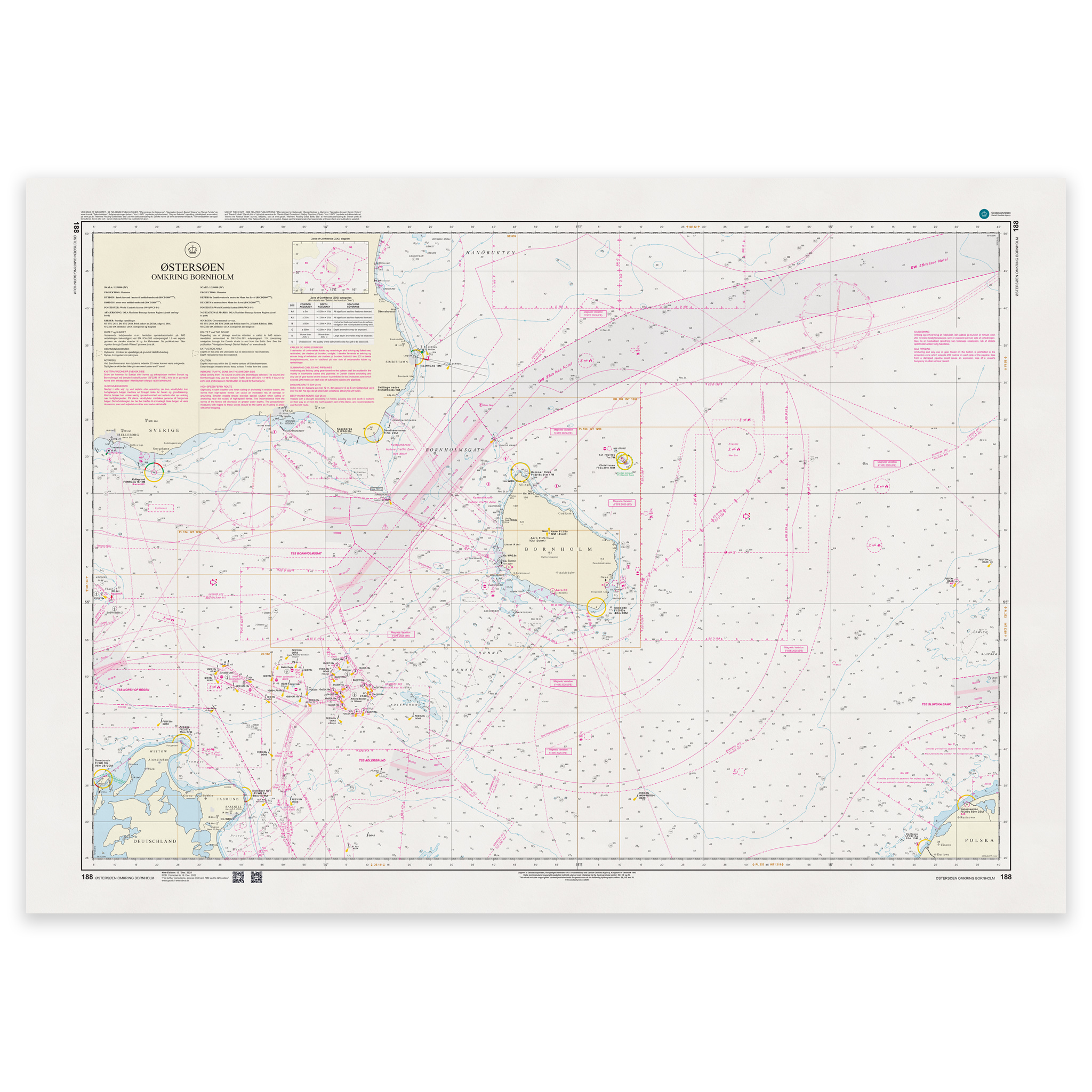
Denmark Chart 188 – Baltic Sea around Bornholm is an official Danish nautical chart published by Geodatastyrelsen at a scale of 1:250 000.
The map covers the waters around Bornholm in the Baltic Sea and provides a regional overview of open sea areas, main routes and international passages.
This is a small-scale port call and passage chart, developed for planning voyages in open waters and between larger port areas. The scale of 1:250,000 provides a good overview and is particularly suitable for:
Planning a sailing trip to and from Bornholm
Sailing through the Baltic Sea
Overview of main routes and traffic separation systems
International shipping in the area
The map shows main depths, beacons, lighthouses, traffic separation zones and other navigation installations relevant to navigation in the open sea.
Due to the scale, the map is primarily intended for overview and planning purposes. Larger scale charts are recommended for coastal navigation and port calls.
The map is delivered as Print-on-Demand (POD) under license from Geodatastyrelsen. It is printed when ordered and updated to the latest available Notices to Mariners at the time of production.
You’ll receive a fresh and updated reprint based on current official map data.
The chart is produced on durable, matte 125 g paper approved for official nautical charts.
Corrections are published continuously and new updates may occur after printing. Print-on-Demand ensures that you get the most up-to-date paper edition available when ordering.