Description
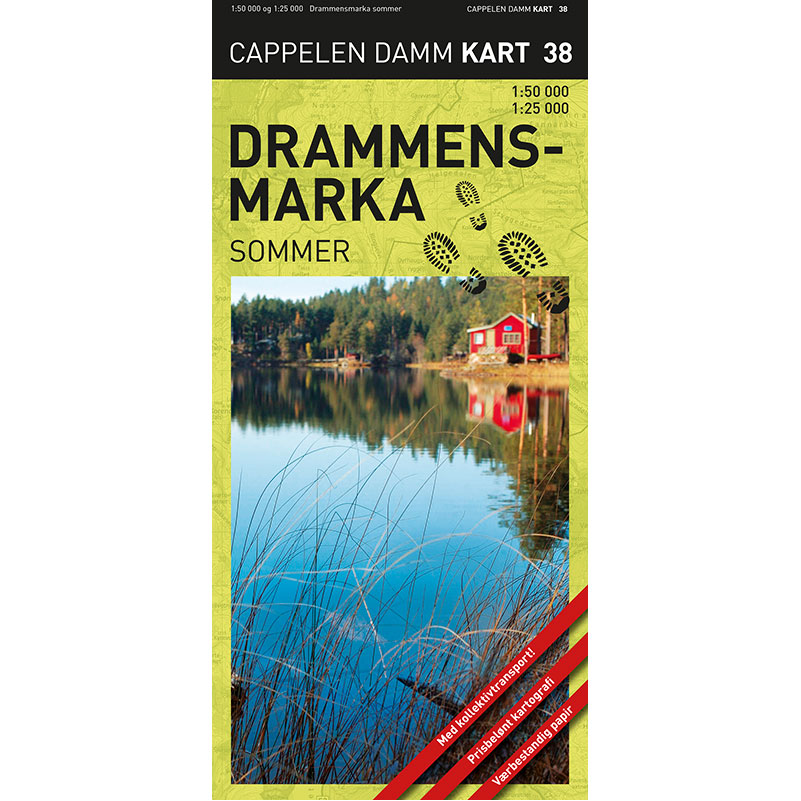
Drammensmarka summer hiking map (CK 38) from Cappelen Damm Kart is a detailed hiking map published in 2021, and is part of the series Cappelen Damms markakart (no. 38). The map brings together the forest areas north and south of Drammen on one and the same map, and provides a comprehensive overview of the entire Finnemarka.
The map covers the area between Vikersund, Hokksund, Drammen and Lierdalen, and stretches from Vestfossen, Mjøndalen and Konnerud in the north to Sande in the south. This makes it a complete planning and hiking map for the entire Drammensmarka.
The summer edition shows marked trails, swimming areas, restaurants, accommodation and public transport. The terrain is depicted with clear mountain shading that provides good legibility and better understanding of the landscape. The map is printed on weatherproof paper that can withstand use in a backpack and in the field.
Cappelen Damm no longer publishes maps and atlases. This product is sold from existing stock, and will be available while stocks last. When the stock is empty, the map will not be printed in a new edition.