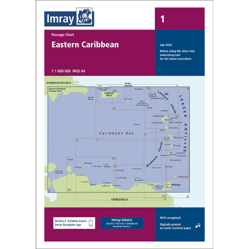
Description
This boating chart from Imray is a comprehensive overview and passage chart for the Eastern Caribbean. Covering sailing areas from Puerto Rico and the Virgin Islands in the north to the Grenadines and Trinidad in the south, it provides a clear overview of the archipelagos, open seas and main routes in the region.
The chart is designed for planning longer legs and overall route selection between the islands of the Eastern Caribbean. It is well-suited for long-distance cruisers and yachts operating over longer distances, and serves as a central planning chart on board, in combination with more detailed coastal and harbor charts.
Imray is a recognized British manufacturer of nautical charts with extensive experience in cartography for leisure and long-distance sailing. Their overview and passage charts are renowned for their legibility and practicality when sailing over large areas of ocean.