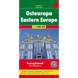
Description
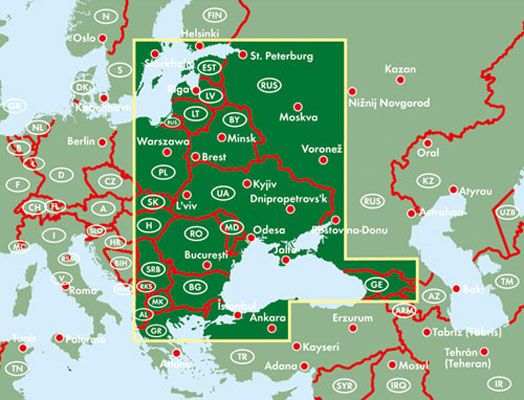
This road map covers Eastern Europe in a single map surface and provides a clear overview of a large and varied geographical area. The map is designed for travelers by car, motorcycle or motorhome who need reliable orientation over long distances, and is well suited for both planning and use along the way.
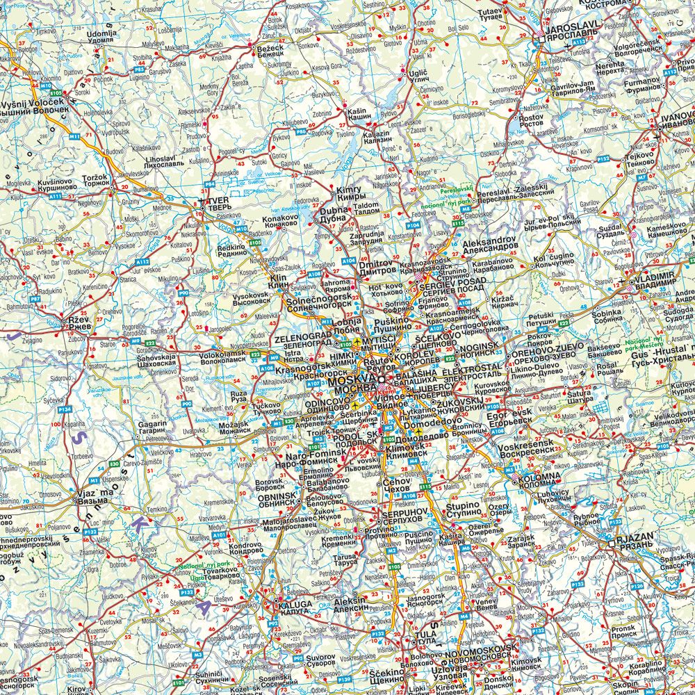
The map shows an extensive road network with main roads, regional connections and important hubs. Distances between key locations are clearly indicated, making it easy to assess travel length and route choice. The cartography is clear and well adapted to travel through multiple countries and regions.
The map includes city maps for a number of major cities in Eastern Europe, providing added value when arriving in urban areas. A comprehensive place index with postcodes makes it easy to find both larger cities and smaller towns. The large format provides good readability and overview, whether the map is used for travel or for planning at home.
The product is released in 2020.