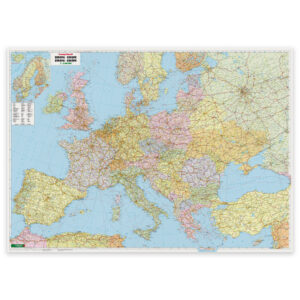
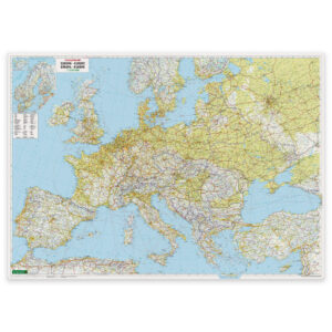
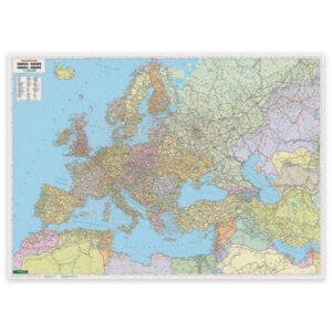
Description
Europe – Middle East – Central Asia Map – Political is a political wall map that provides a comprehensive and clear representation of Europe, the Middle East and Central Asia at a scale of 1:5,500,000. The map covers a larger geographical area than a traditional map of Europe and provides a good overview of the connection between Europe, the Middle East and adjacent parts of Asia.
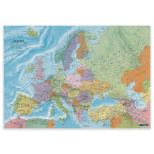
The map image shows countries and borders, major cities and key geographical references, with clear color division for easy orientation across regions. This map type is particularly suitable for teaching, analysis, planning and general geographical overview, where it is important to see Europe in the context of nearby regions such as the Middle East and Central Asia.
The map is published by Freytag & Berndt, a recognized European map publisher known for precise and functional cartography. This is a ready-made map poster in fixed format, delivered rolled in protective packaging and intended for wall mounting.
The map is available either as a poster or as a poster with suspension. The hanging version comes with discreet aluminum rails at the top and bottom that keep the map tight and ready for wall mounting.
The map was published in 2012.