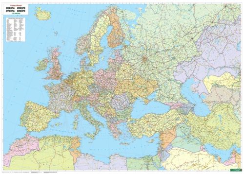
Description
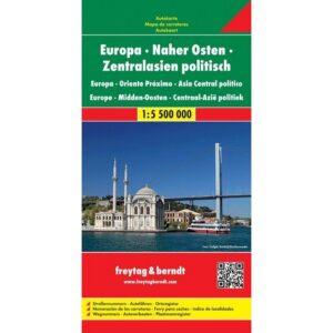
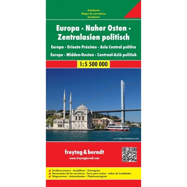
Europe – Middle East – Central Asia Roadmap is a detailed folded political roadmap covering Europe, the Middle East and Central Asia at a scale of 1:5,500,000. Developed for road travelers, the map provides a convenient overview of main road networks, inter-regional connections and key routes across Europe and adjacent parts of Asia.
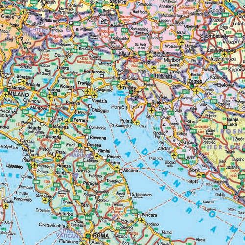
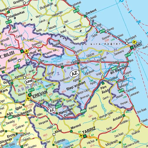
The map image shows countries and borders, a clear road network with road numbers, auto connections and ferries, as well as important cities and towns. In addition, the map contains tourist-oriented information such as selected sights and a comprehensive place index that makes it easy to find and plan routes.
The folded version makes the map well suited for use while traveling, whether in a car, motorhome or motorcycle, and the map is easy to store in a glove compartment, briefcase or backpack. This map is first and foremost a functional navigation map, and differs clearly from wall maps and pure overview maps in its focus on driving and traffic.
The map is published by Freytag & Berndt, a recognized European map publisher known for precise and user-friendly cartography.
The map was published in 2012.