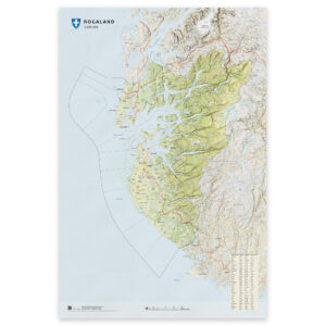
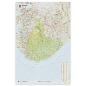
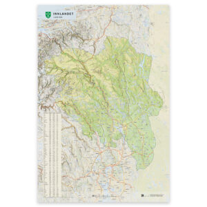
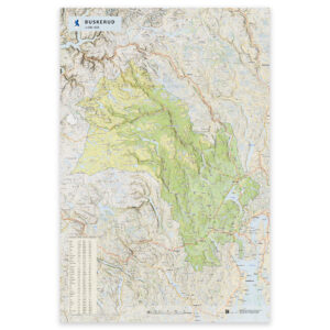
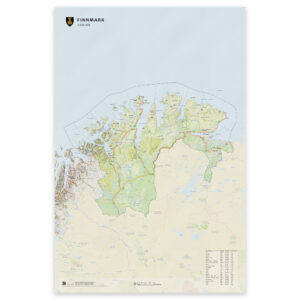
 Wall map – Finnmark county
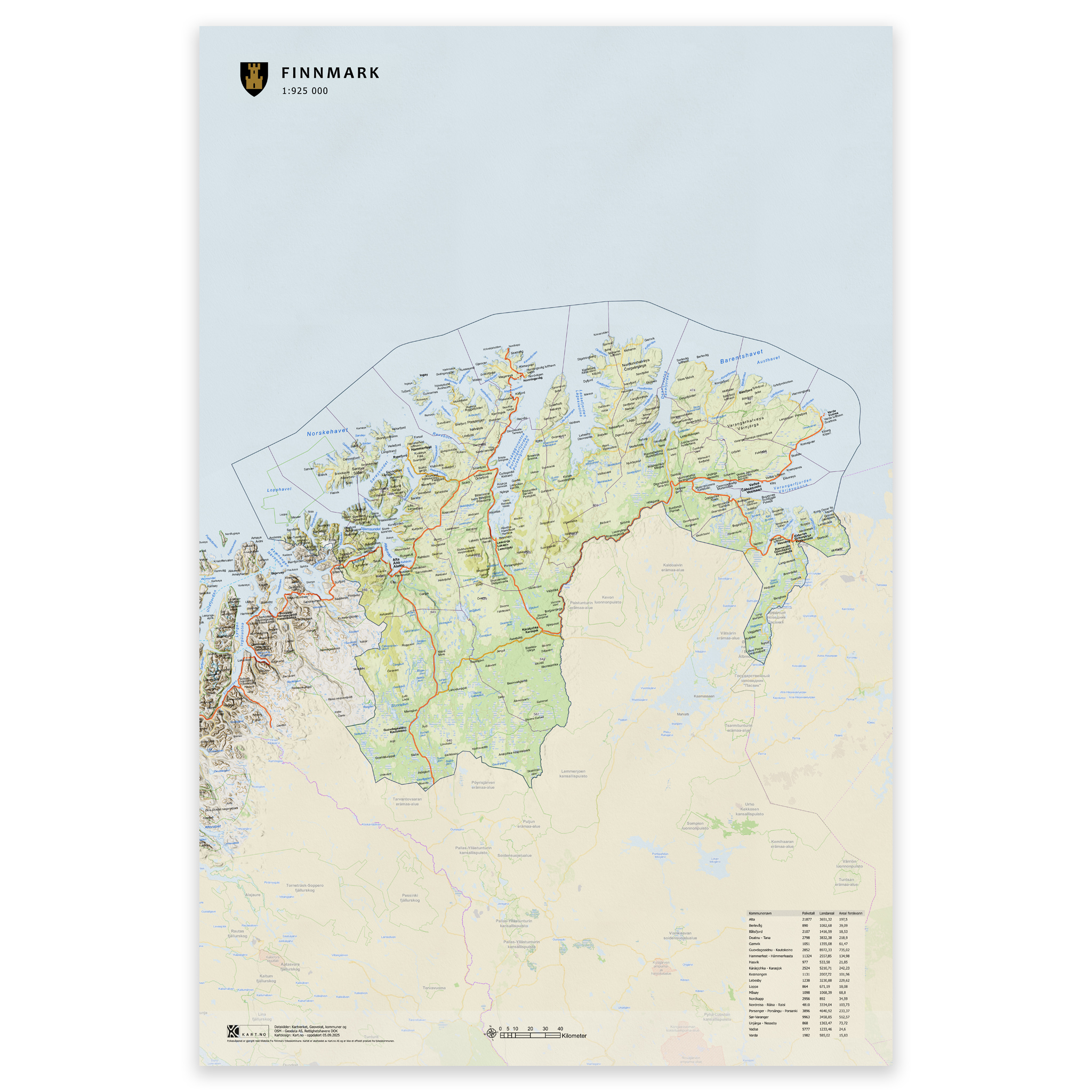


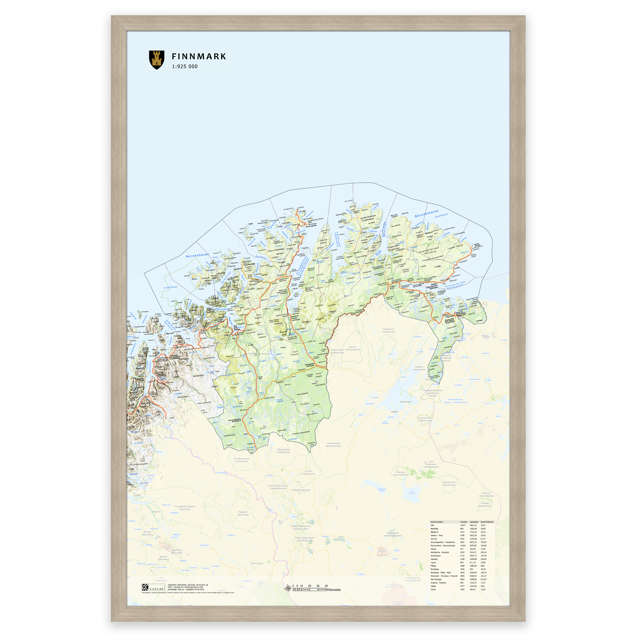
Wall map – Finnmark county
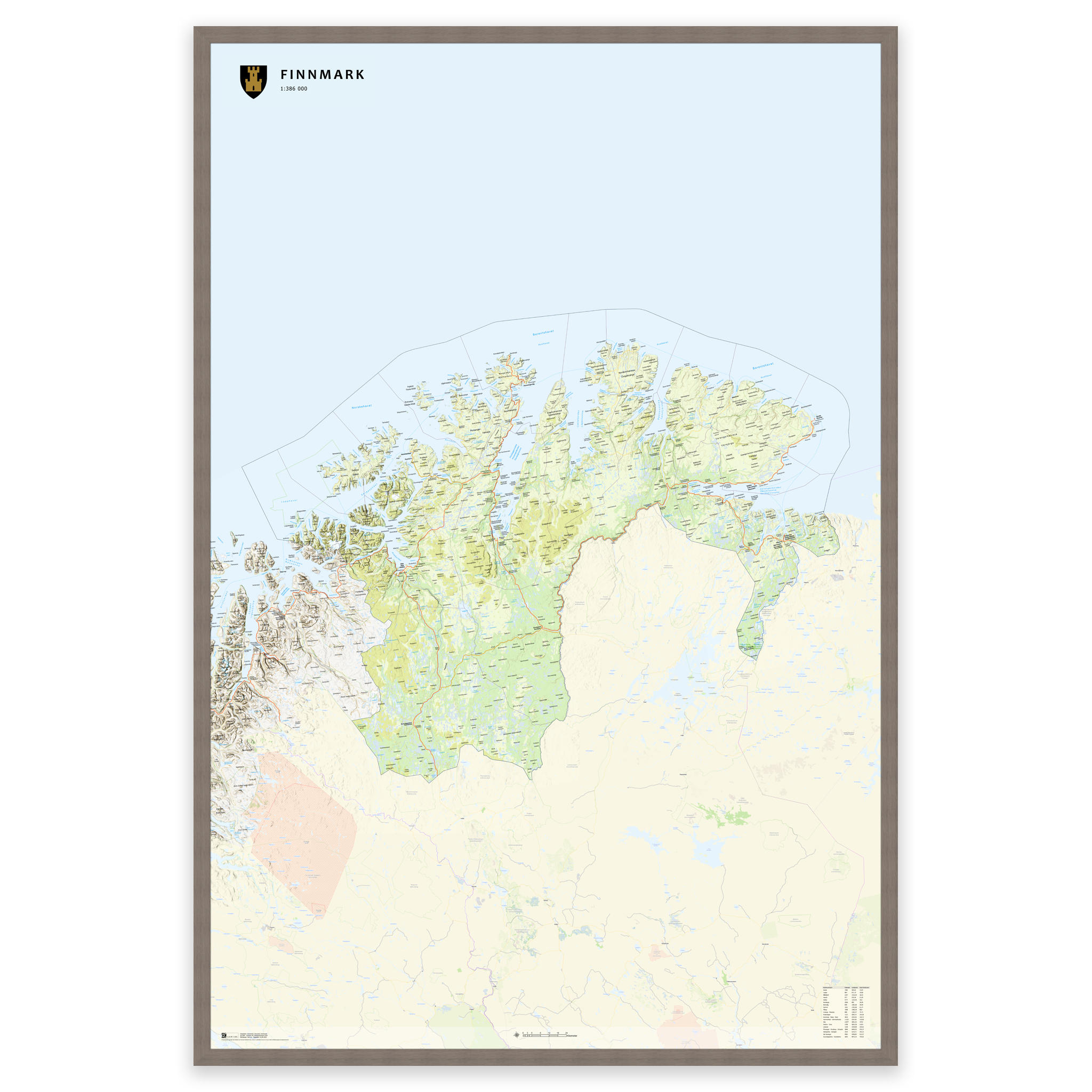
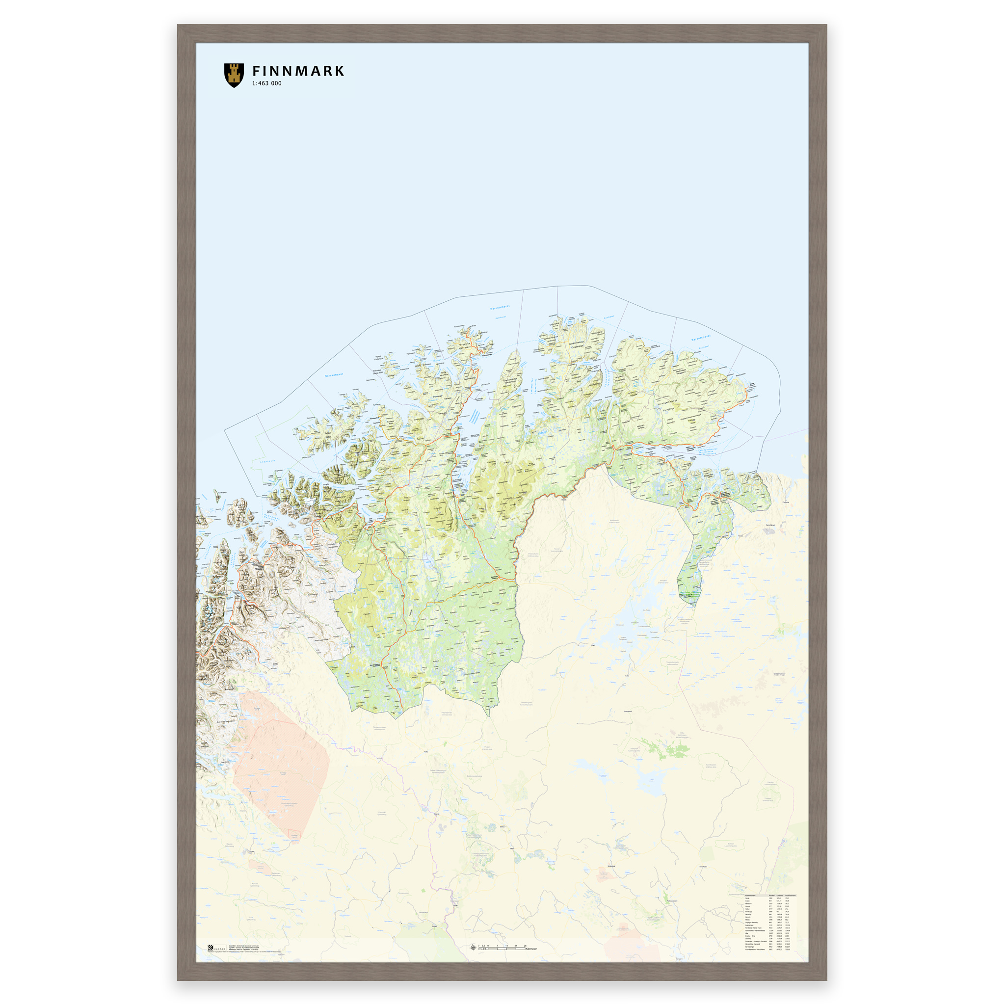
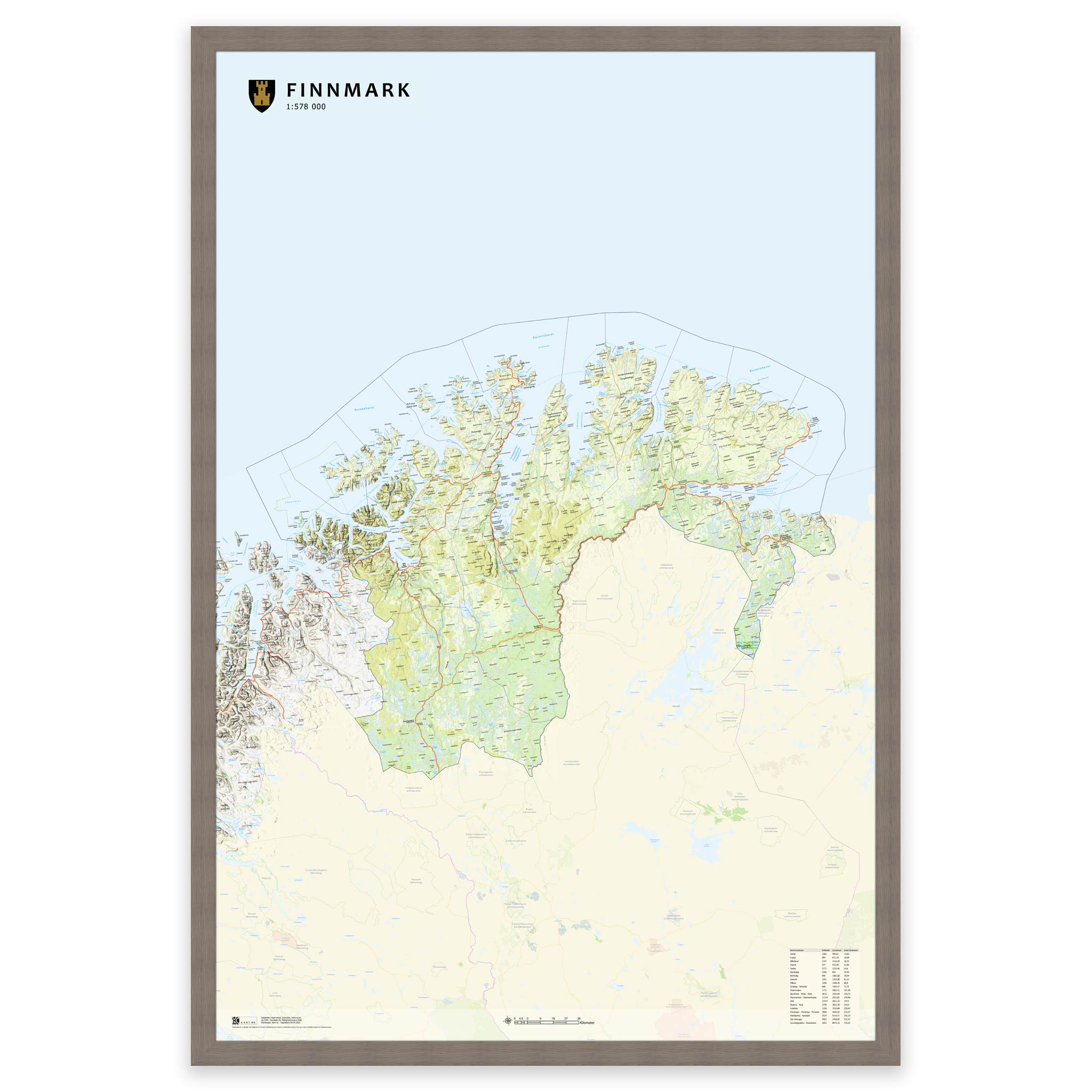
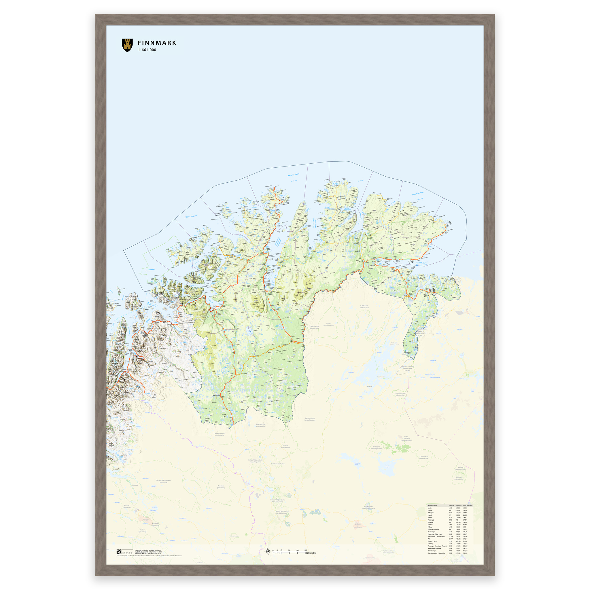
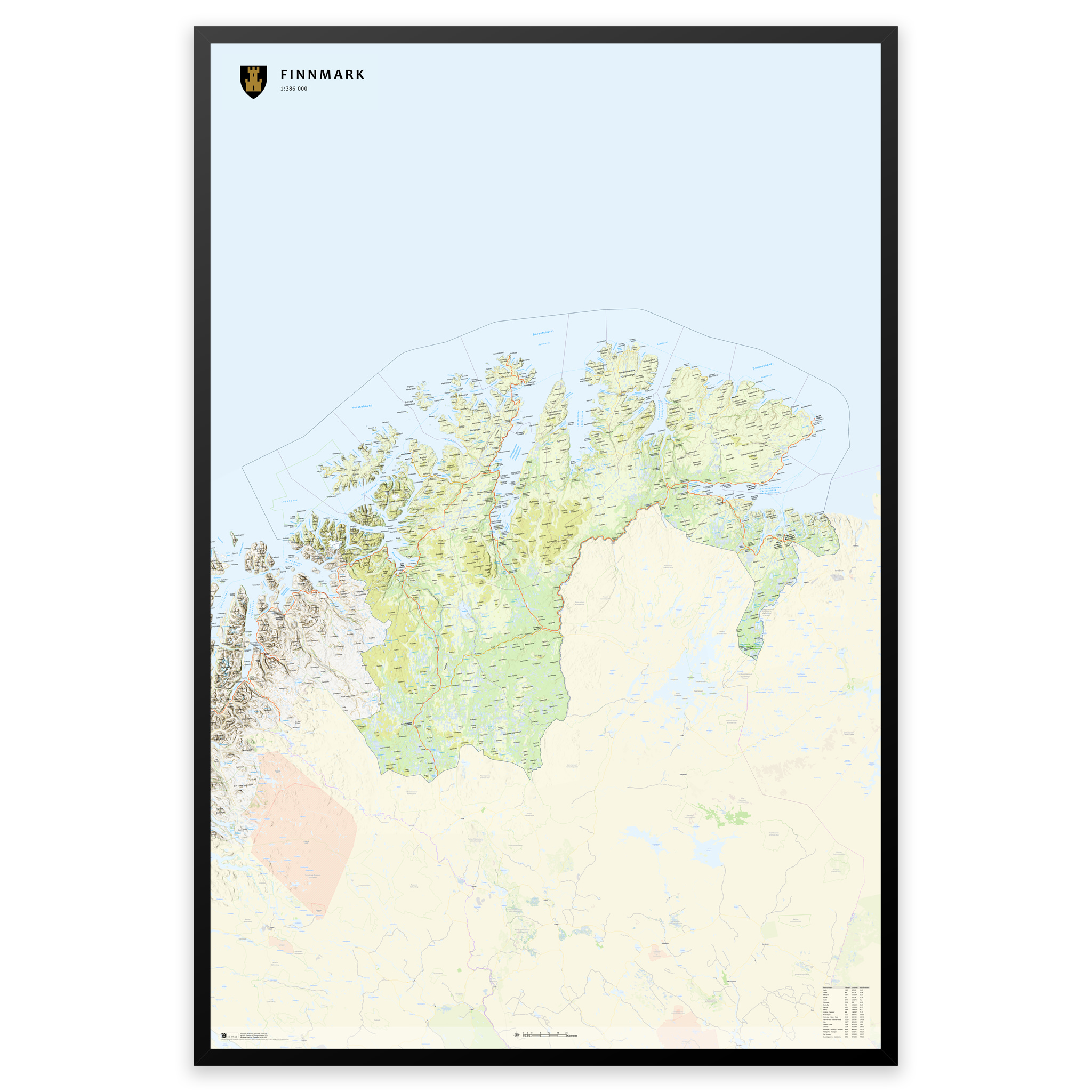
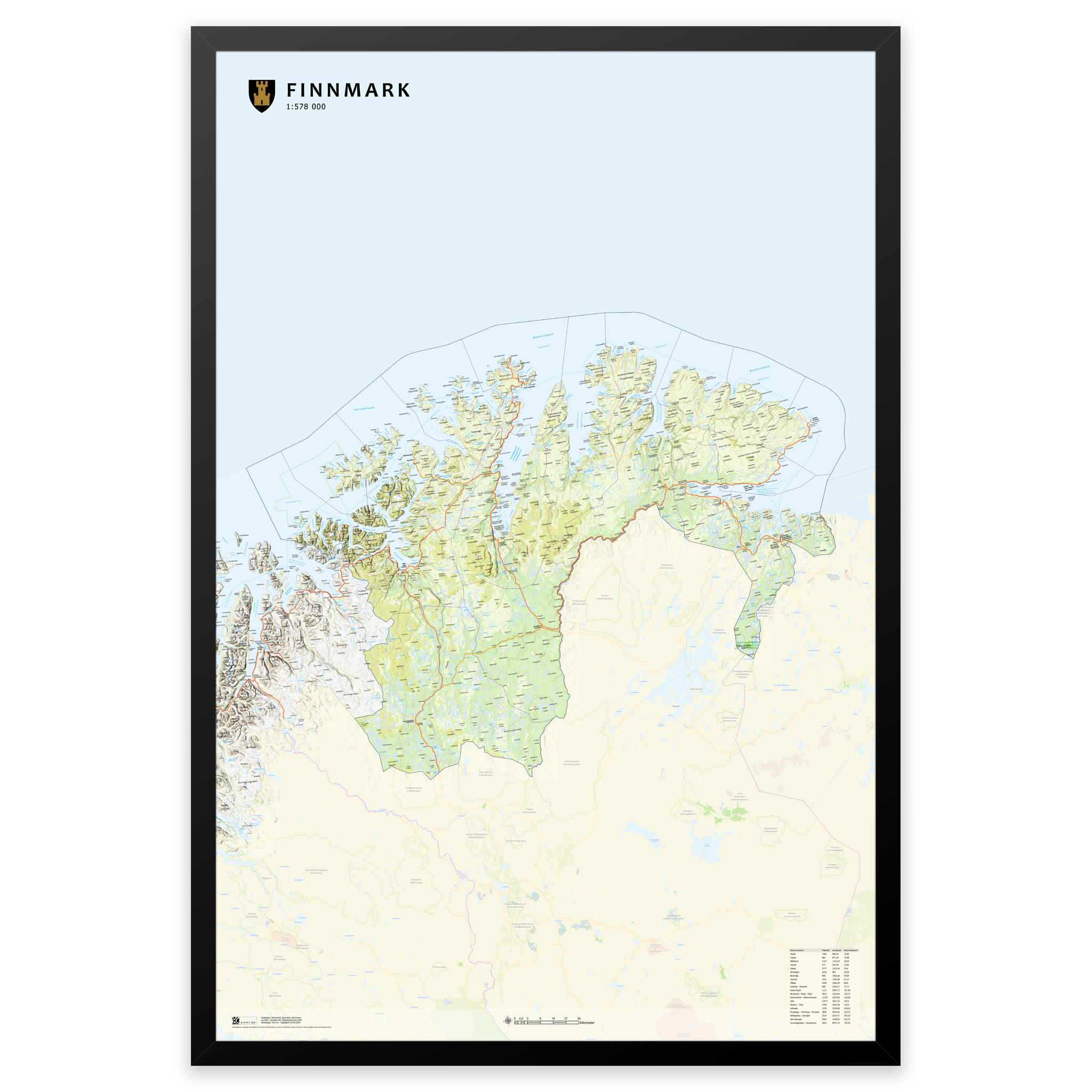
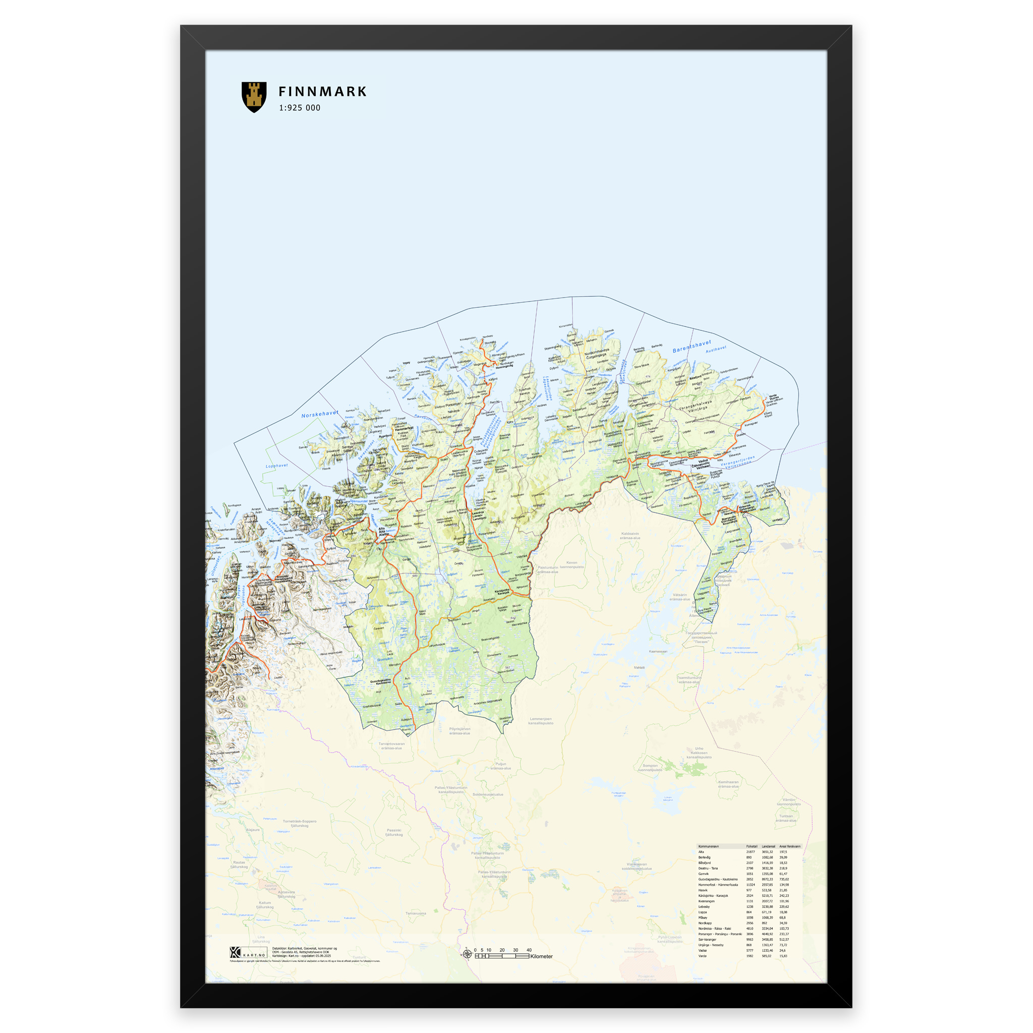
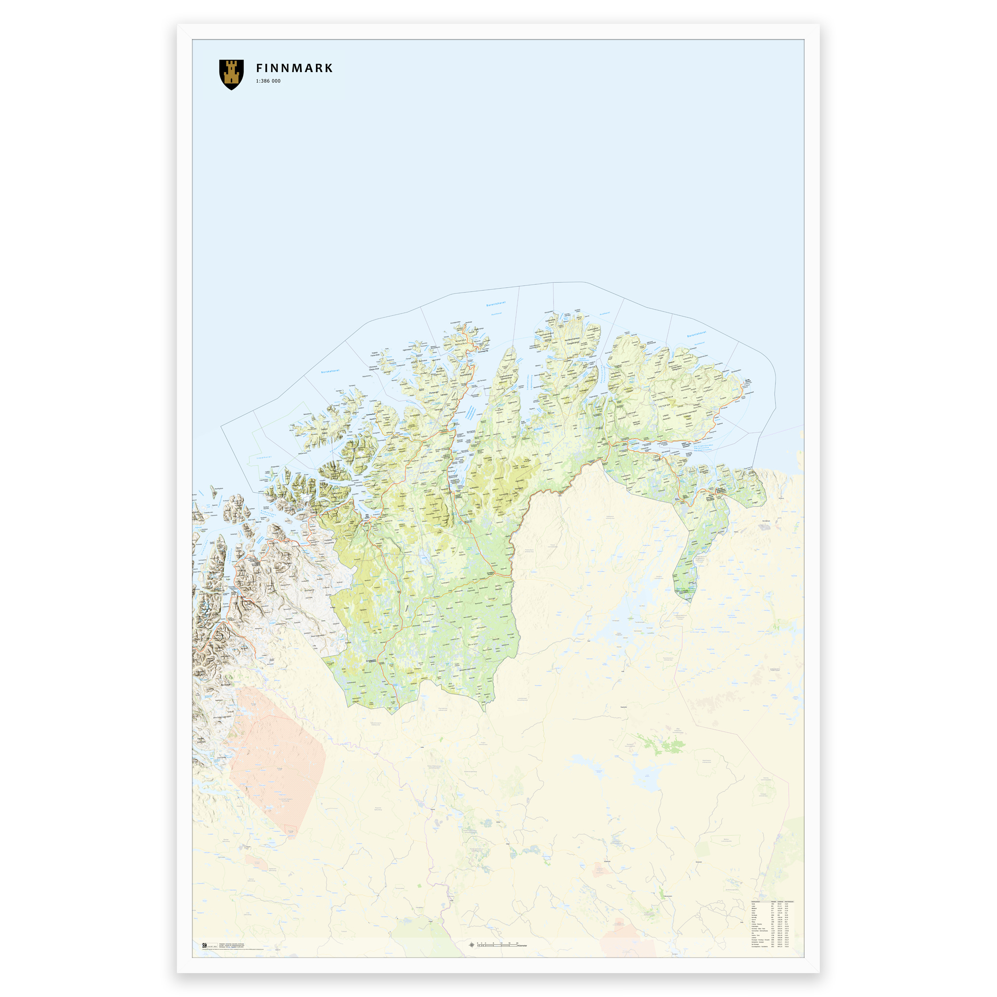
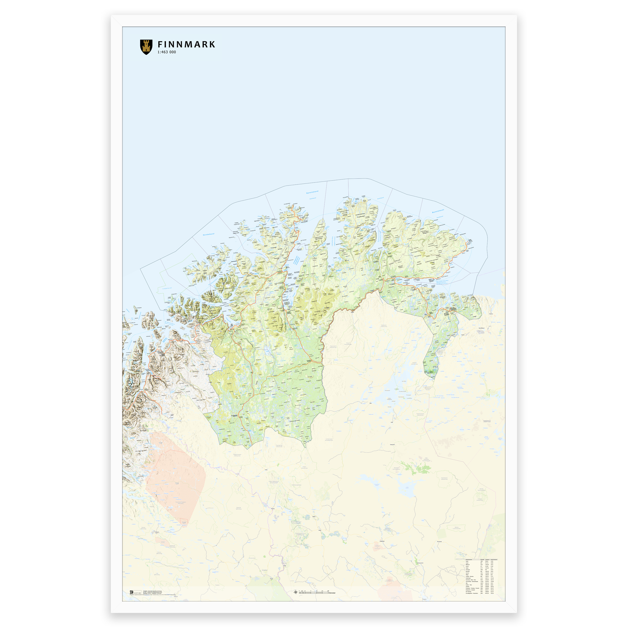
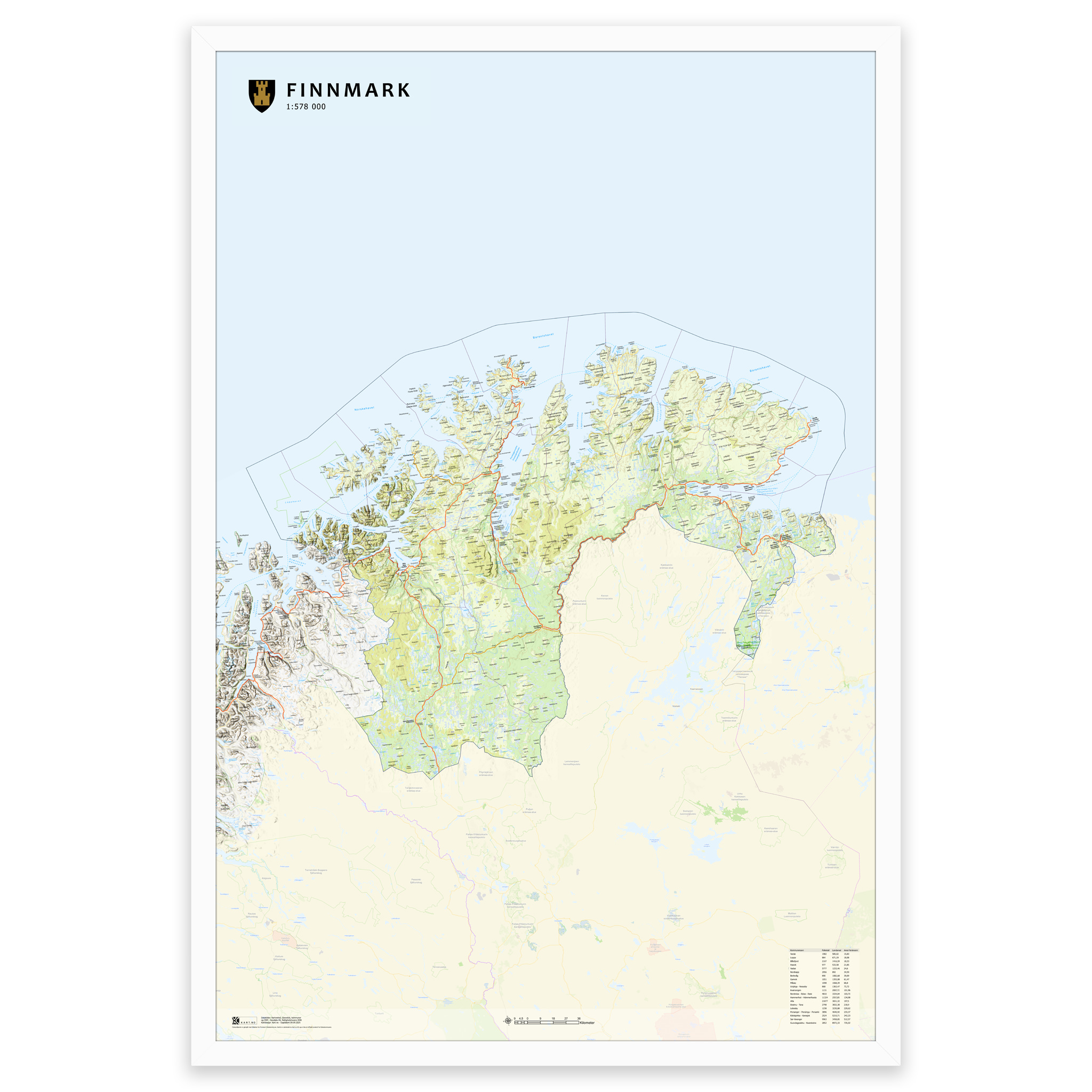
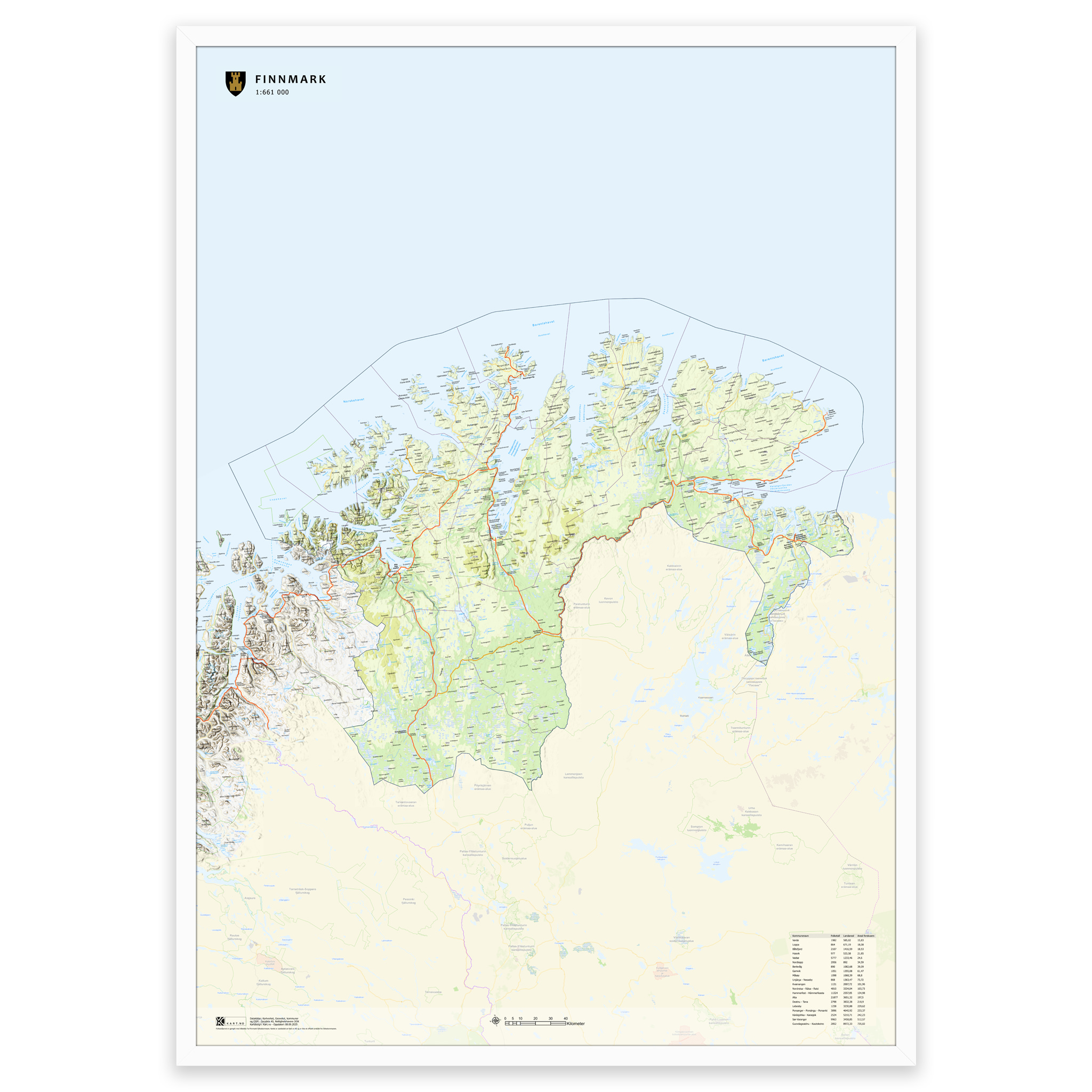
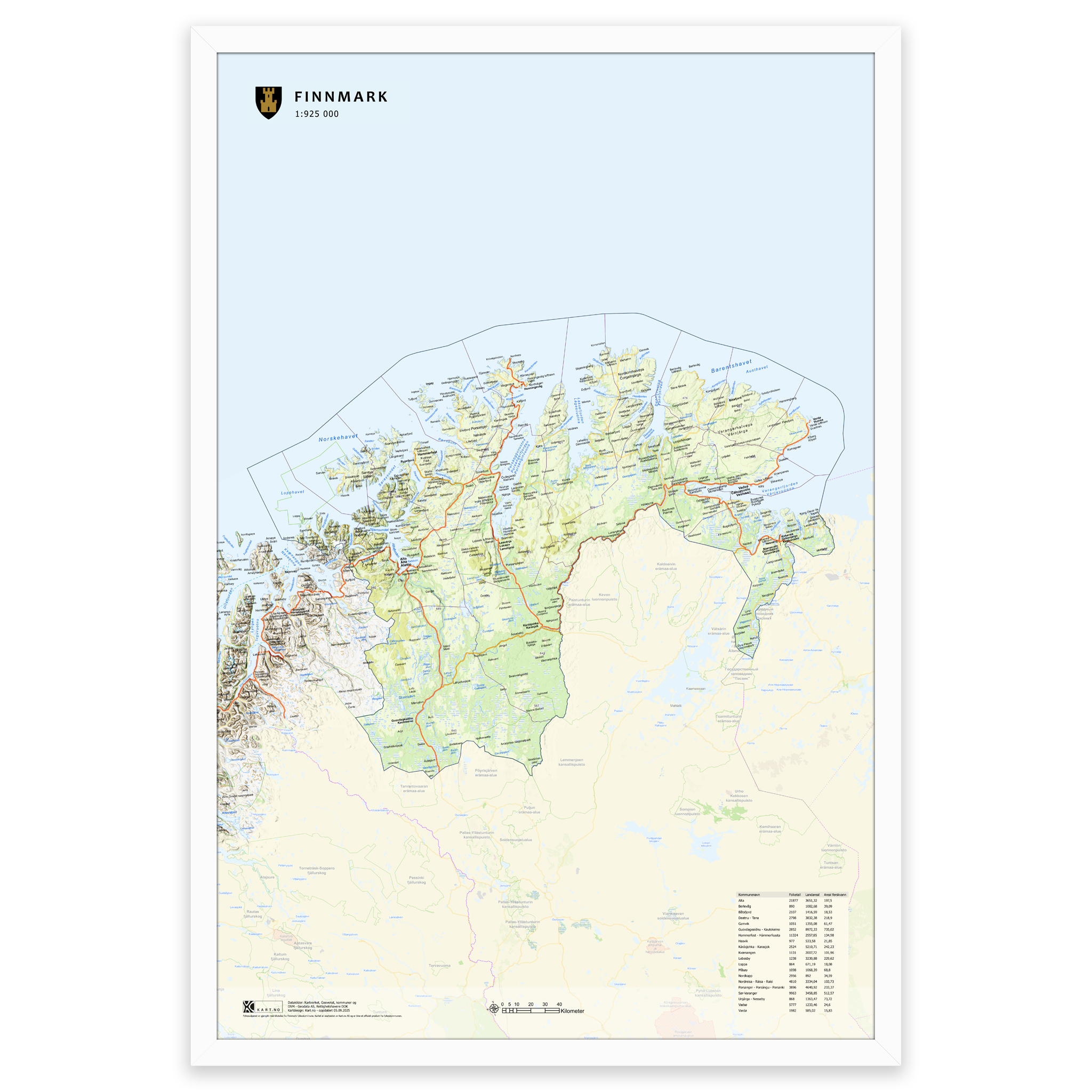
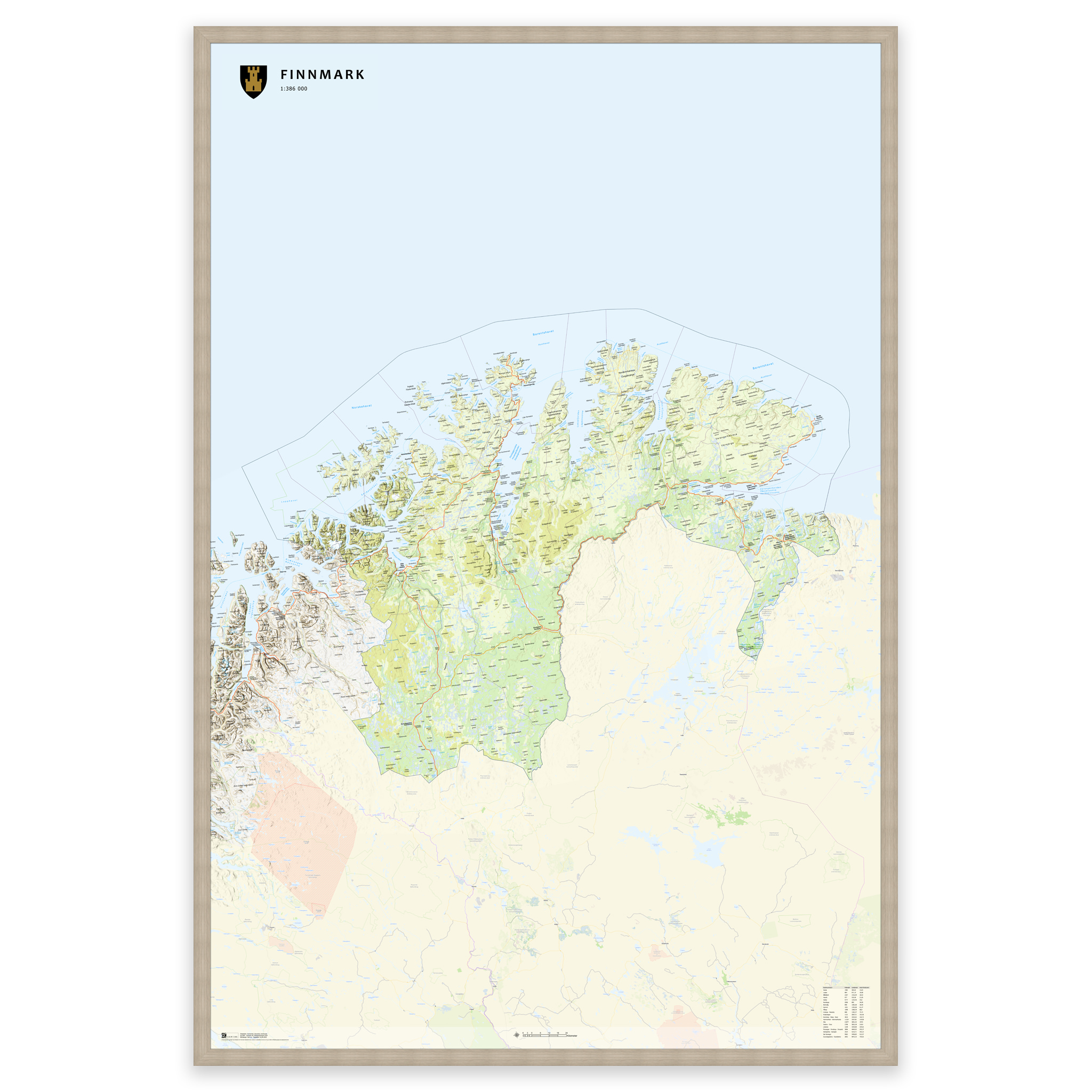
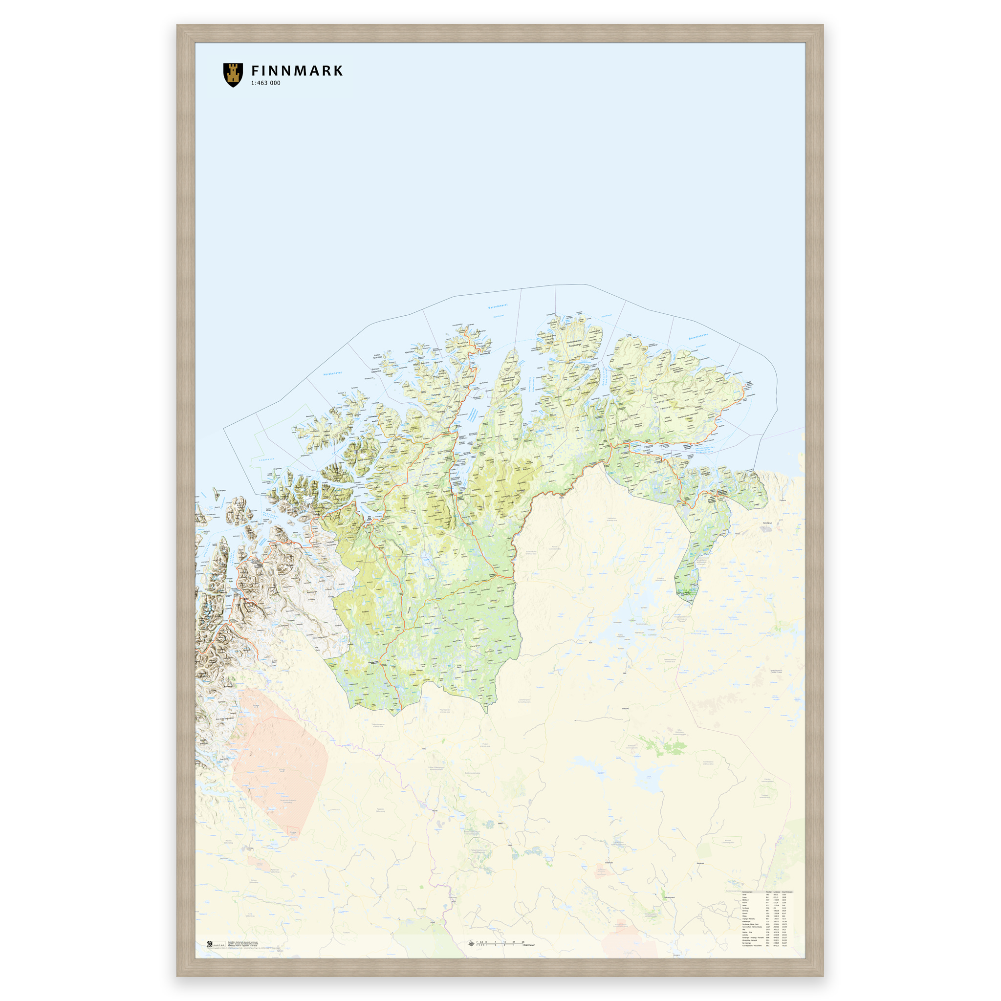
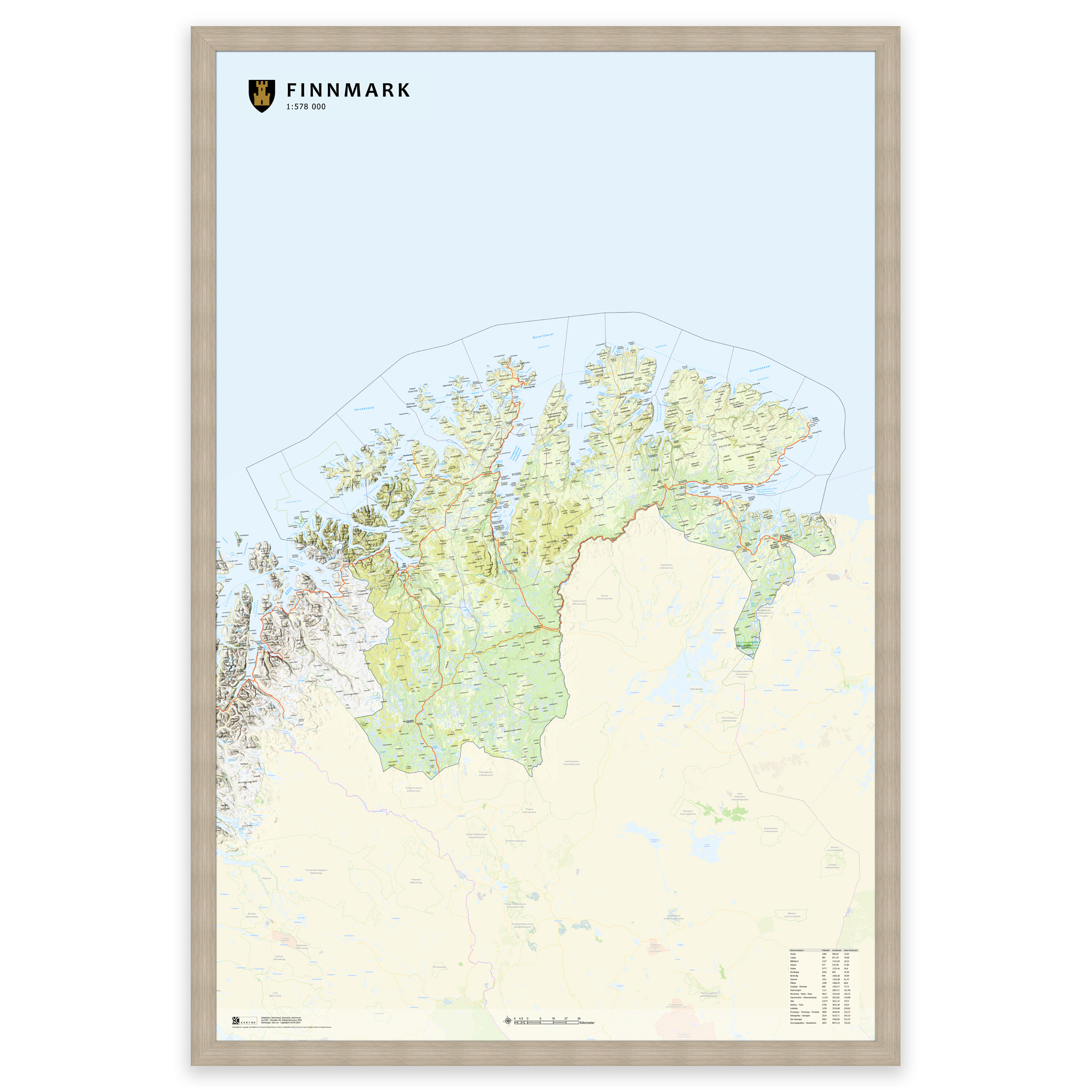
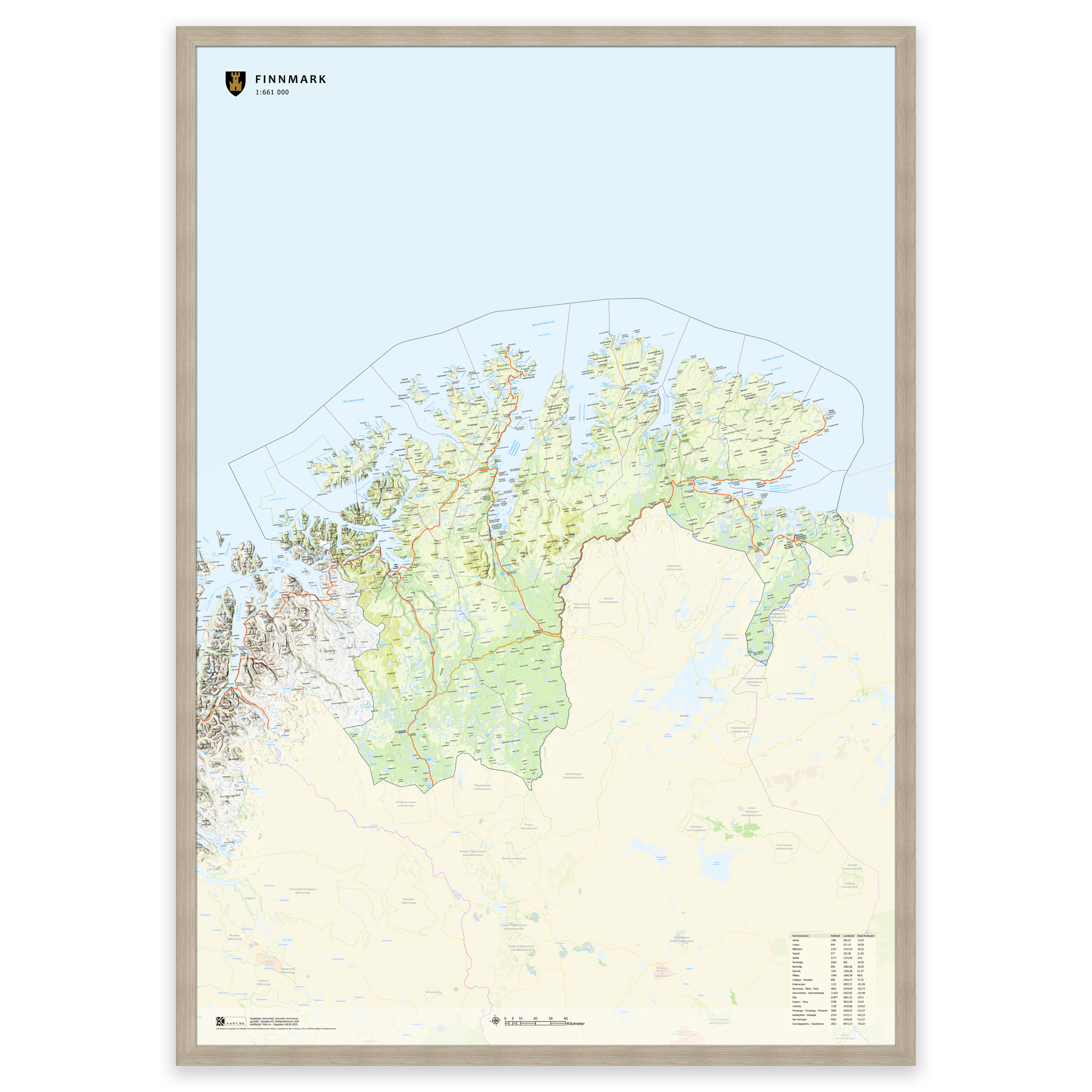
Stylish and detailed map of Finnmark – available in five sizes.
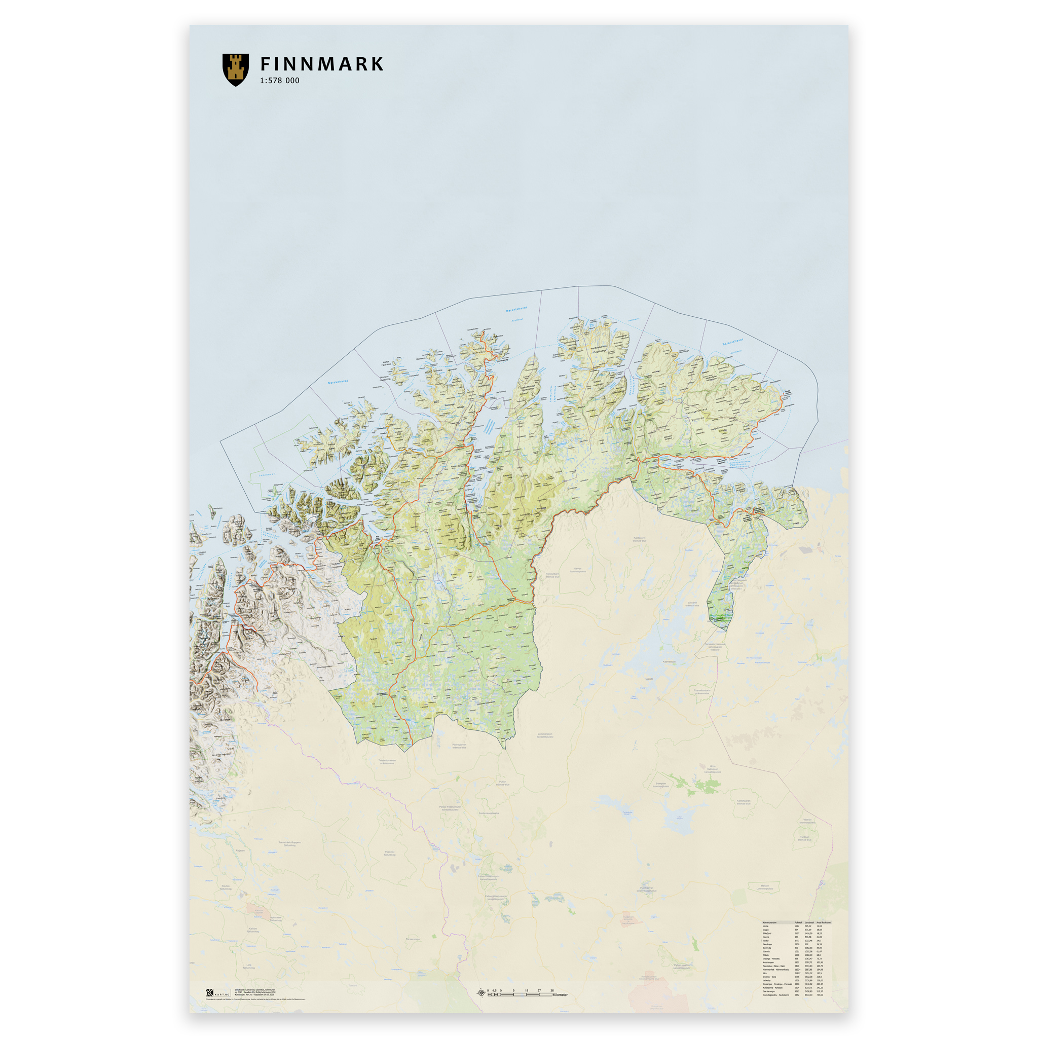
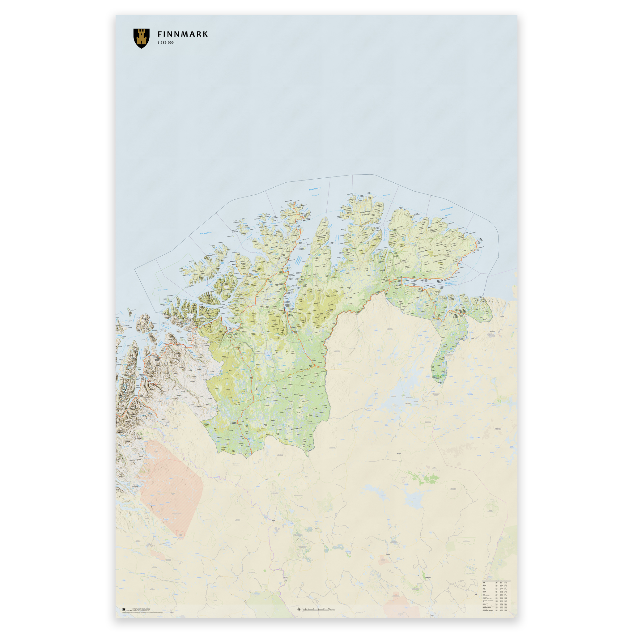
The map shows the entire county of Finnmark with clear municipal boundaries and updated divisions. Made to order with updated map data from the Norwegian Mapping Authority – always up to date with municipality and county boundaries. The topographical terrain shadows give a lifelike and three-dimensional effect.
The colors are taken from classic Norwegian cartography, and the map is produced with 12-color pigment inks that provide high detail, deep hues and longevity – up to 400 years.
Order as a poster, map on plate or framed print on art paper – perfect for the home, office or classroom.
Select the desired size and use the zoom function (magnifying glass) to see scale and detail.
Fra kr 0,00