Description
This large car atlas covers Great Britain and Northern Ireland and has been developed for travelers who want a detailed overview beyond the main roads and motorways. Suitable for both thorough pre-trip planning and on-the-go use, the atlas provides reliable orientation for car, motorcycle and motorhome travel.
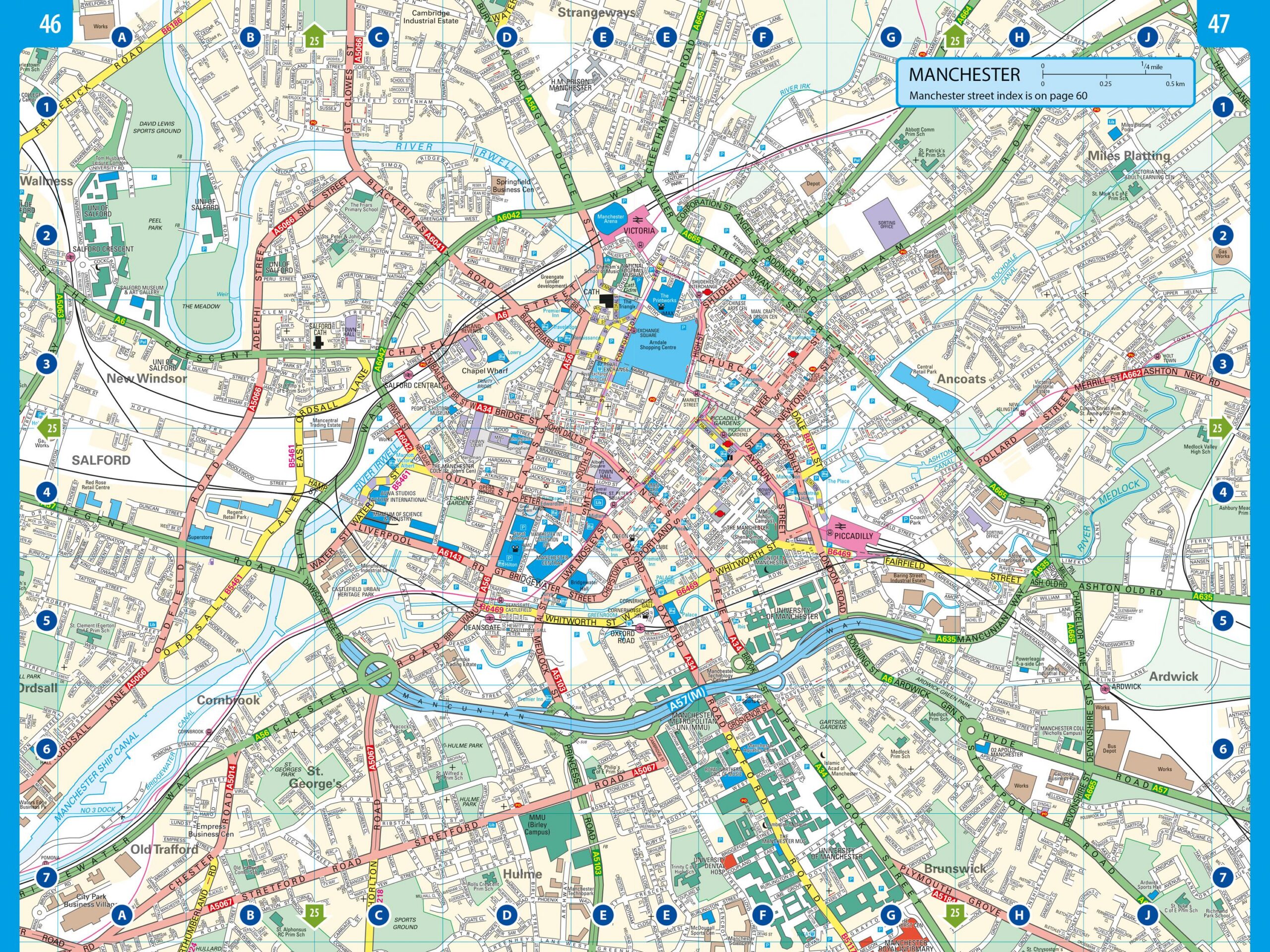
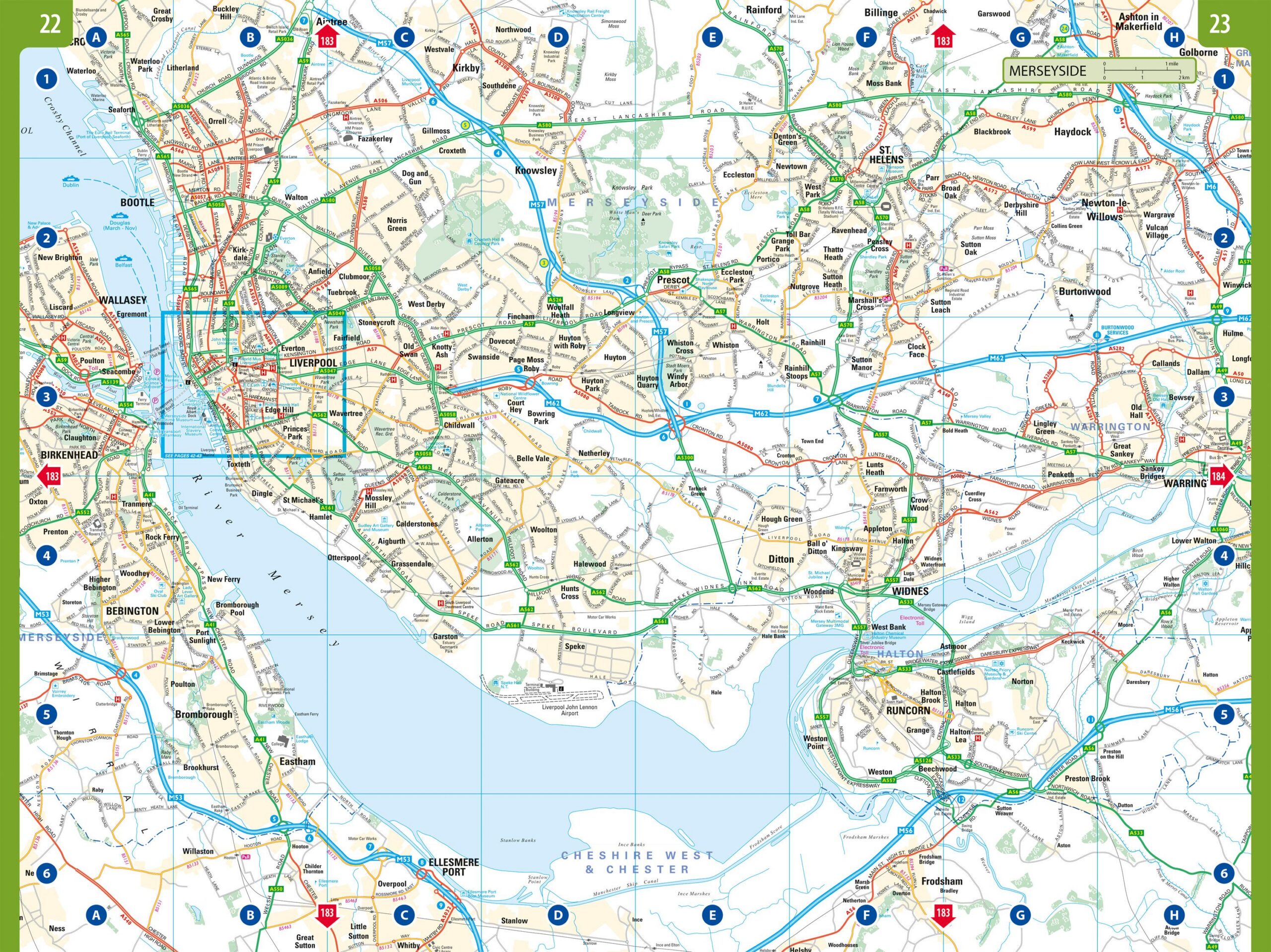
The map image is detailed and easy to read, with precise representation of road networks, towns and important connections. Minor roads and local routes are clearly shown, making it possible to explore areas that are often not shown in more comprehensive maps. Tourist information and selected excursion destinations are integrated into the map for added value during your journey.
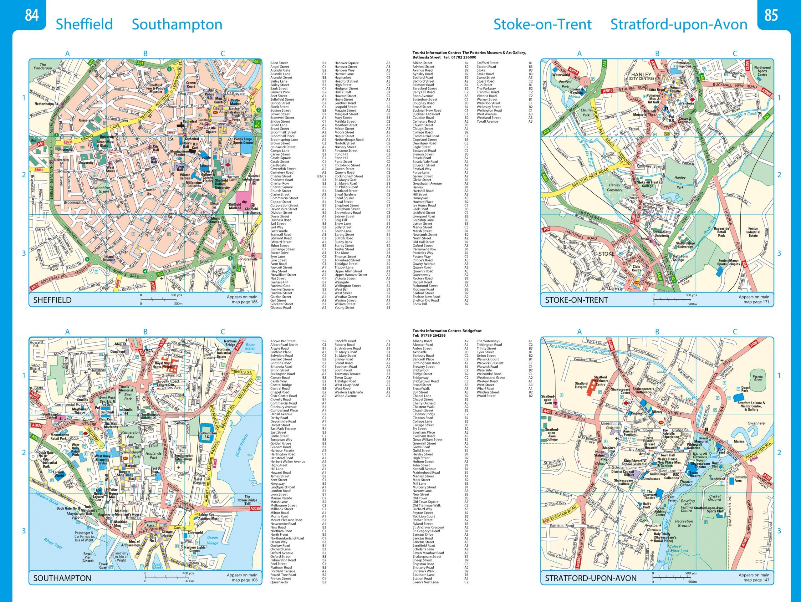
The atlas has a practical spiral binding that makes it easy to open and keep the desired page open. A comprehensive place index provides quick access to destinations, and the many city maps provide a good overview when driving in urban areas. Camping and motorhome sites are clearly marked, making the atlas well-suited to travel with caravans and motorhomes.
The product is released in 2025.