Description
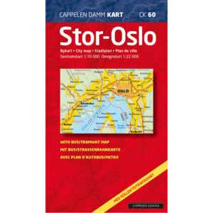
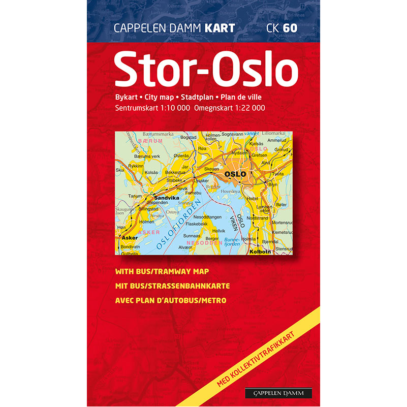
Stor-Oslo (part 60 in the Cappelen Damm map series) is a detailed and clear city map published in 2020. The map is folded and provides an overall representation of the entire Oslo area with surrounding areas.
The map shows Oslo’s district boundaries, major development areas, all road names and the new toll rings. It covers a wide area – from Asker in the west to Stovner and parts of Lørenskog in the east, and from Frognerseteren, Lommedalen and Romsås in the north to Vollen, Nesodden and Kolbotn in the south.
On the back is a separate public transport map showing all stops with names and bus route numbers. The map also includes an enlarged city center map and a comprehensive index that makes it easy to find addresses and places.
Stor-Oslo serves both as a city map (city map / Stadtplan / plan de ville) and as a practical overview map for the entire capital region.
Cappelen Damm no longer publishes maps and atlases. This product is sold from existing stock, and will be available while stocks last. When the stock is empty, the map will not be printed in a new edition.