Description
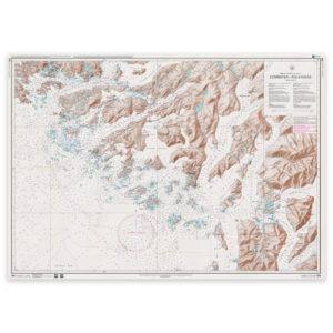
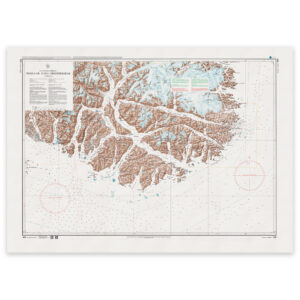
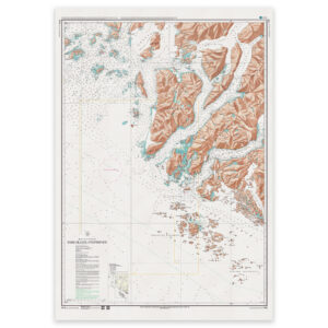
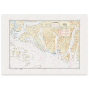
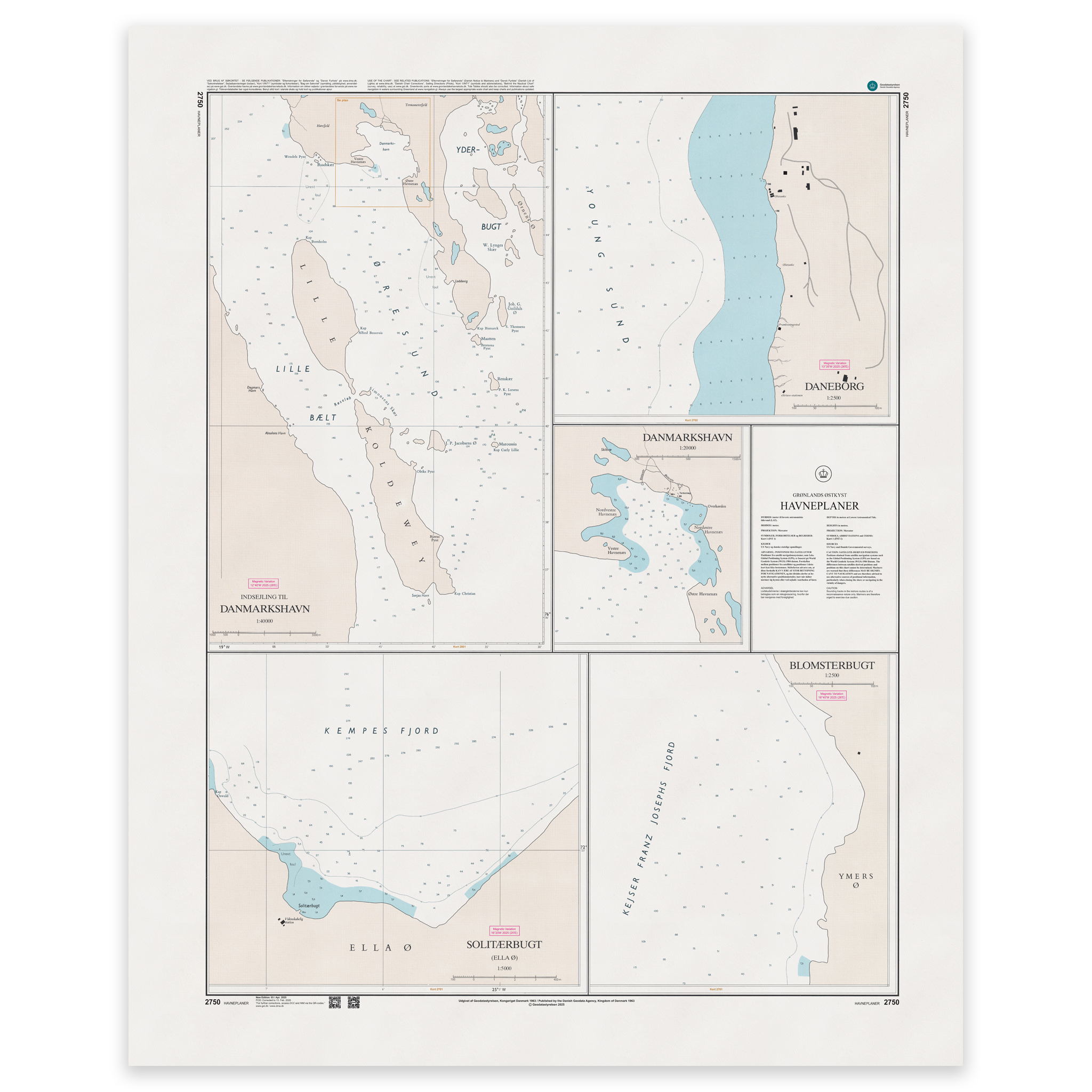
Map 2750 covers parts of Greenland and is published at a scale of 1:2,500.
The map is printed as Print-on-Demand (POD) under license from Geodatastyrelsen. It is produced when ordered, so you get a fresh reprint updated to the latest available Notices to Mariners at the time of printing. The map is produced on durable matte paper (125g) approved by Geodatastyrelsen.
This is a special map with a large scale (larger than 1:30,000). It shows demanding areas such as narrow passages, harbors and anchorages with a high level of detail.
Corrections are published on an ongoing basis, and the map may be updated after printing. With Print-on-Demand, you will still receive the most up-to-date paper edition that is practically possible at the time of ordering.