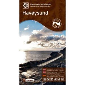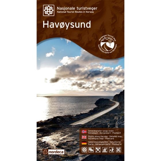
Description
Havøysund National Scenic Routes is a map/guide showing the scenic stretch known as National Scenic Route Havøysund (County Road 889) – one of Norway’s selected National Scenic Routes. The road extends 67 km from Kokelv to Havøysund and offers magnificent coastal landscapes, open plateaus, ocean views, and characteristic rest areas and viewpoints along the route.
The product provides a clear presentation of the driving route, important stops, viewpoints, and facilities along the road, and is well-suited for both planning and use during the journey.
The map was published in 2014. Although certain roads, facilities, and details related to destinations may have changed since publication, it still provides a good overview of the area and is suitable as inspiration and travel assistance on your road trip, especially for those wishing to experience the coastal landscape of Finnmark via one of Norway’s most distinctive scenic routes.
The map covers places such as Lillefjord, Slåtten, Kokelv, Havøysund, Reinøya, and Snefjord.