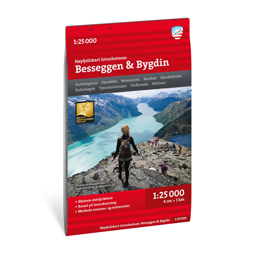

Description
This high-mountain map covers the area around Besseggen and Bygdin in Jotunheimen, one of Norway’s most popular and spectacular mountain areas. The map shows mountain ridges, watercourses, glaciers and trails in great detail, and provides a good basis for planning and carrying out trips in the high mountains.
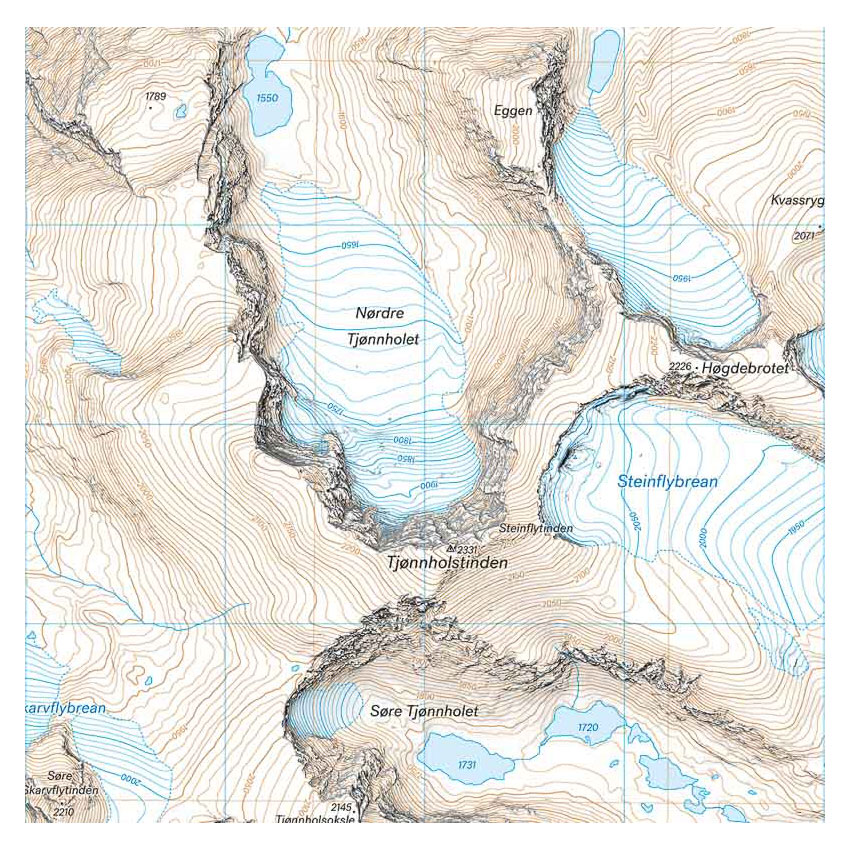
The map is particularly suitable for hikes over Besseggen, summit hikes to Tjønnholstinden (2331 m) and Kalvehøgde (2209 m), as well as for hikes off the marked trails where you want to explore your own route choices in varied terrain.
The map is at a scale of 1:25,000, which provides a very high level of detail. At this scale, 4 cm on the map corresponds to 1 km in the terrain, making the map particularly suitable for precise navigation in demanding mountainous terrain.
The map is printed on durable and water-repellent material and comes with map print on both sides (70 × 100 cm).
Calazo Förlag is a Swedish publishing house specializing in maps and books for outdoor life in the Nordic region.
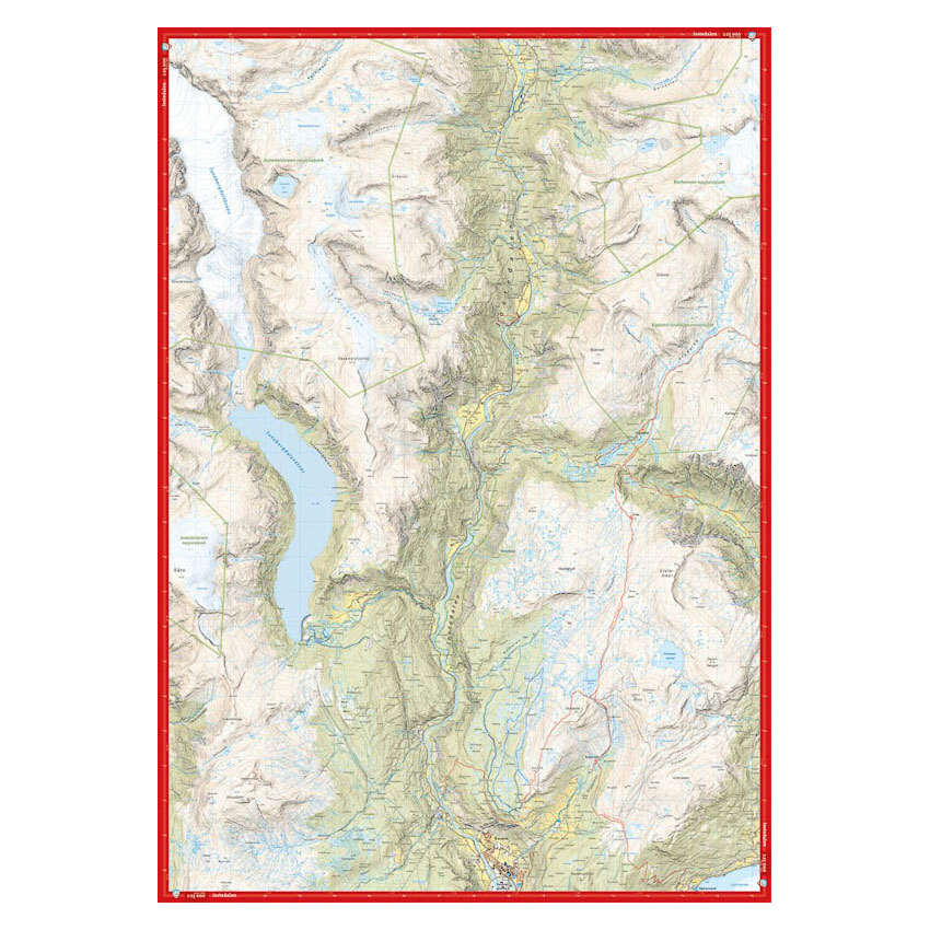
Here you can see the area the map covers:
The map is released in 2022.