
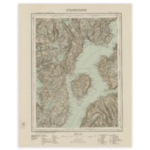
 Frøya 1948


Frøya 1948
Map of Frøya, Frøyfjorden, Sula and Mausundvær in Trøndelag made with the heliogravure technique in 1948. The map is delivered in its original size of 57.9 x 43.9 cm. The size with frame and passe-partout is 75.9 x 62.9 cm. Would you like the map in a different size? Just get in touch – we’ll be happy to give you a quote for customization.