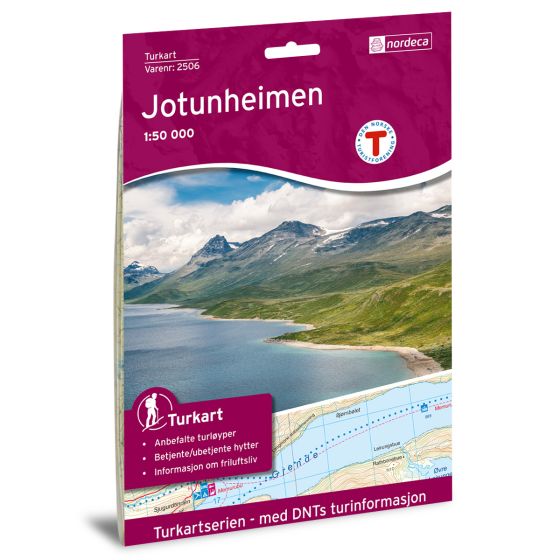
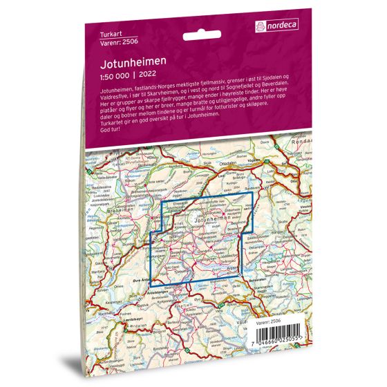
Description
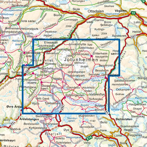
Jotunheimen – DNT hiking map 1:50,000 is a detailed and robust hiking map covering the whole of Jotunheimen, Norway’s most iconic high mountain area. Published by Nordic Maps (formerly Nordeca) in collaboration with the Norwegian Tourist Association, the map contains up-to-date hiking information, marked trails and an overview of both serviced, self-service and unserviced DNT cabins.
The 1:50,000 scale provides a high level of detail and makes it easy to plan and carry out trips to classics such as Besseggen, Galdhøpiggen and Glittertind, while lesser-used routes and alternative routes are clearly shown. Terrain shapes, elevation contours, water, rivers and important orientation points are reproduced precisely, providing a solid foundation for safe travel in the high mountains.
The map is printed on durable plastic fiber material that can withstand moisture and rough use, making it suitable for changing mountain weather. It is foldable, printed on both sides and has a practical format that makes it easy to carry in your backpack. The map was updated in 2022 and is available in Norwegian and English as part of the DNT Turkart series.
This is a reliable and thorough hiking map for both experienced hikers and first-time visitors to Jotunheimen.