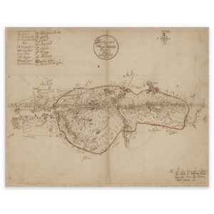

 Lierne 1759

Lierne 1759
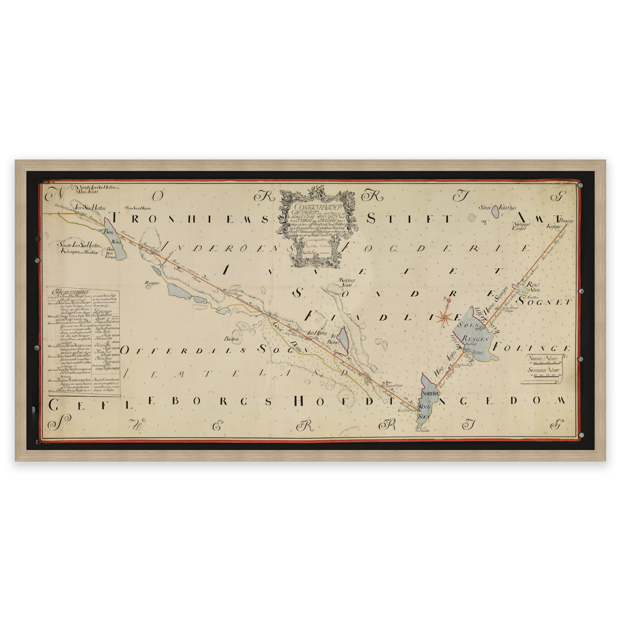
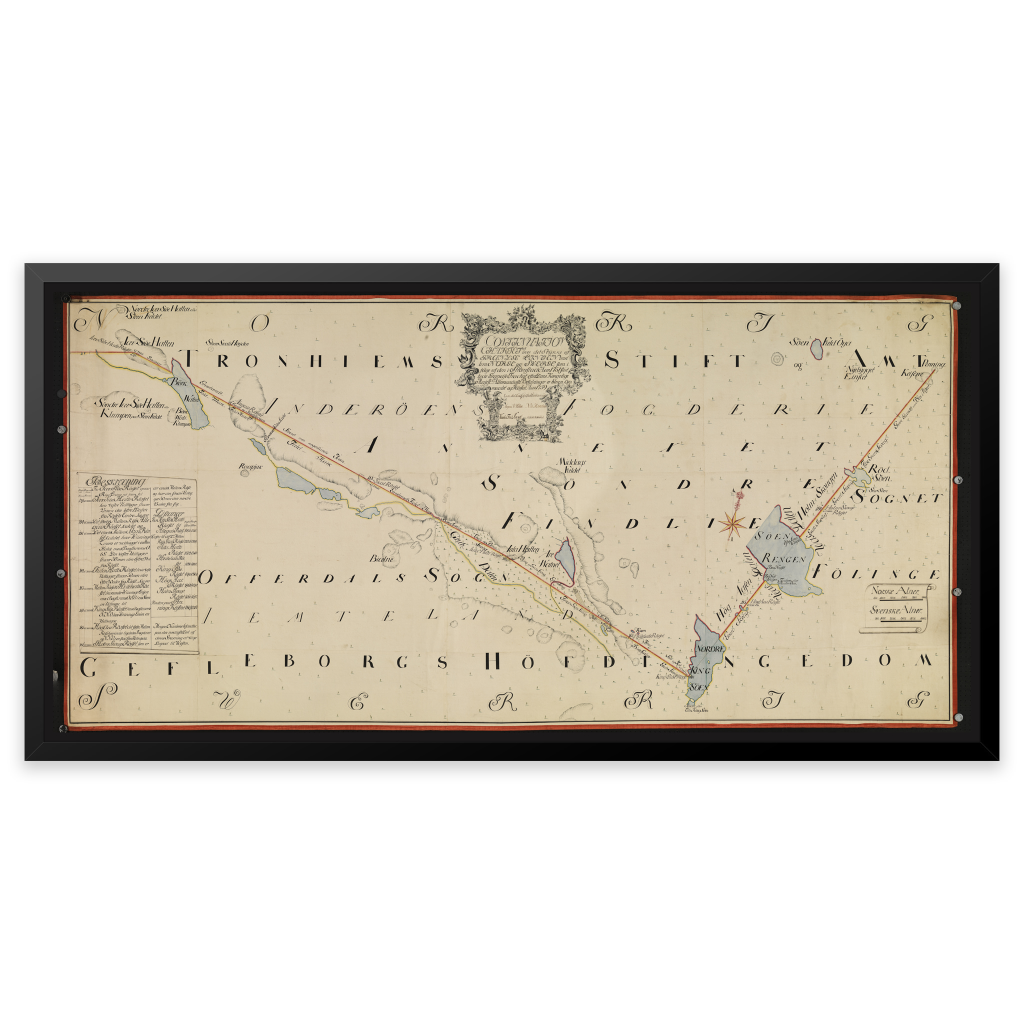
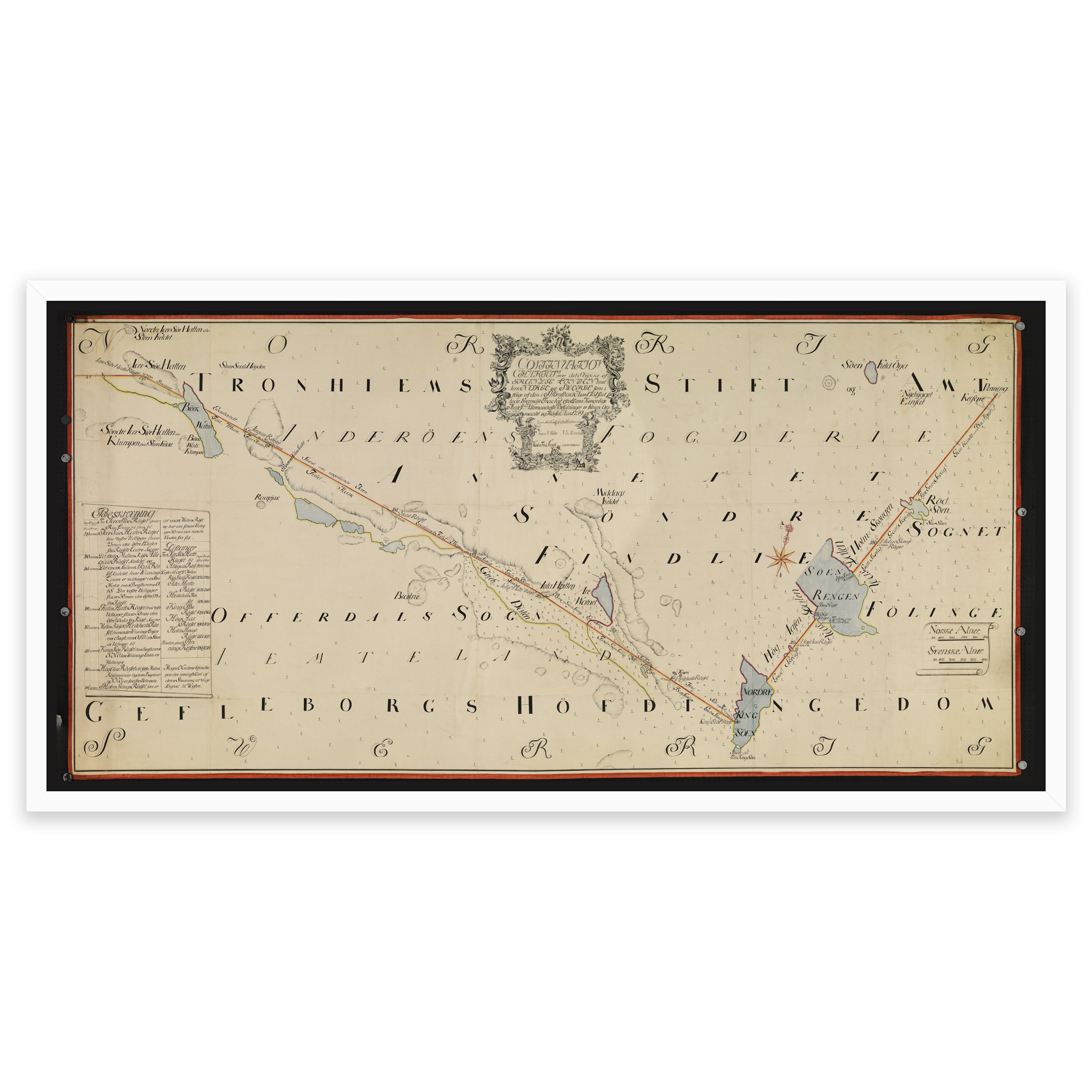
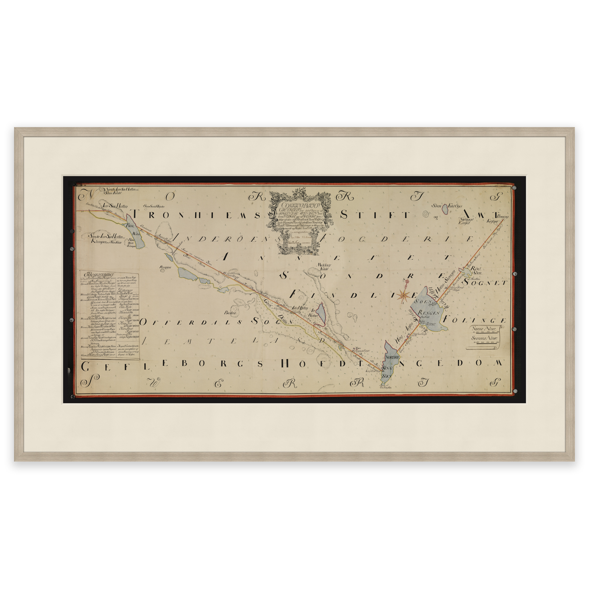
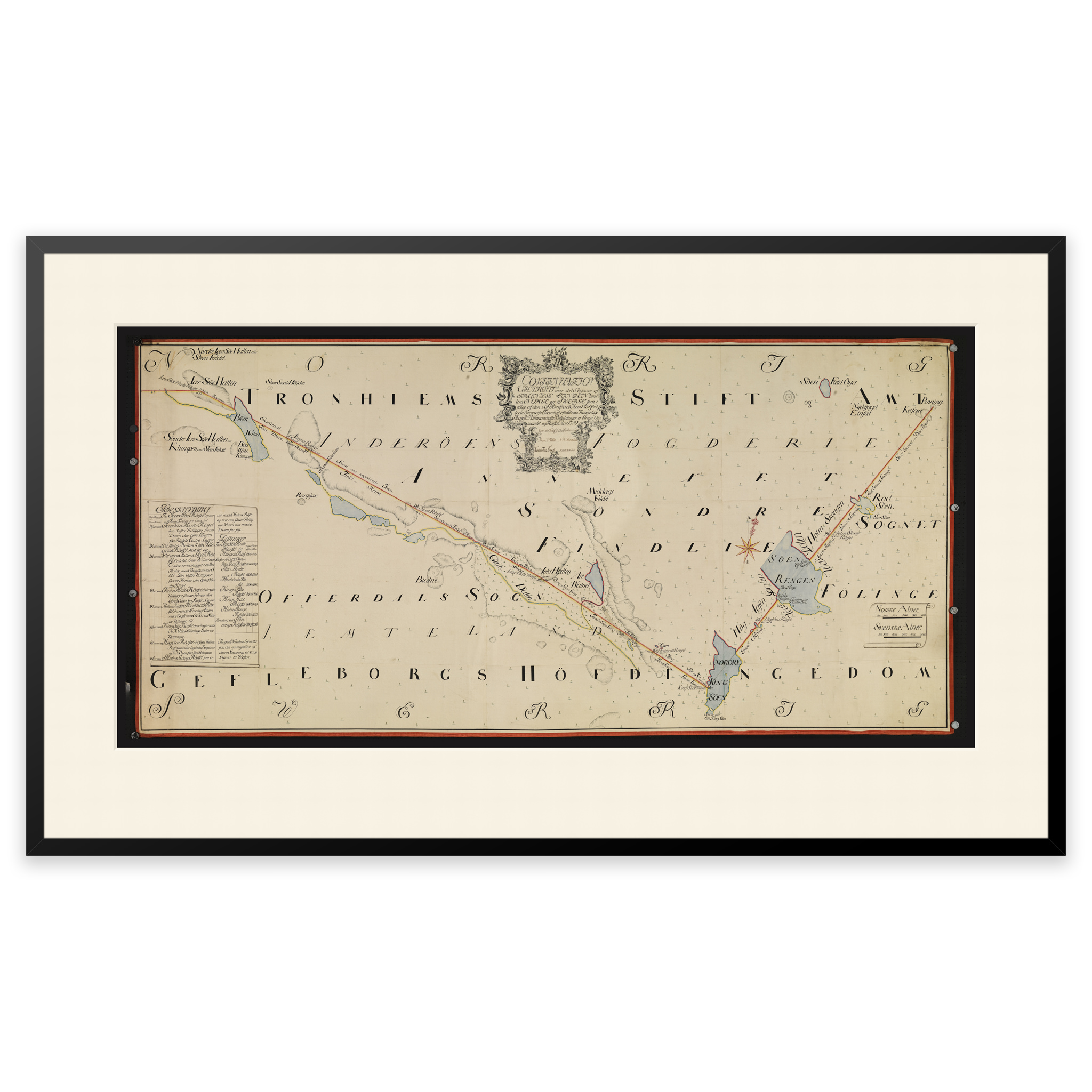
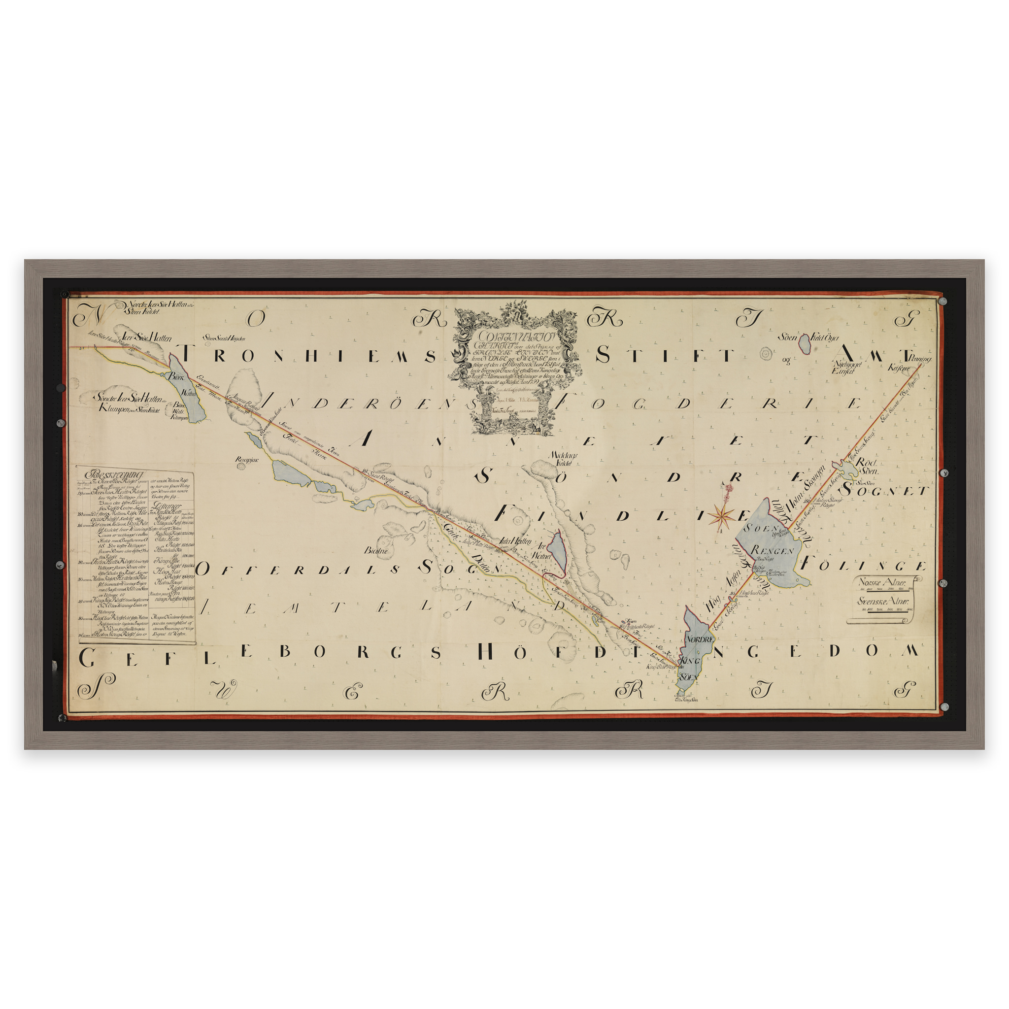
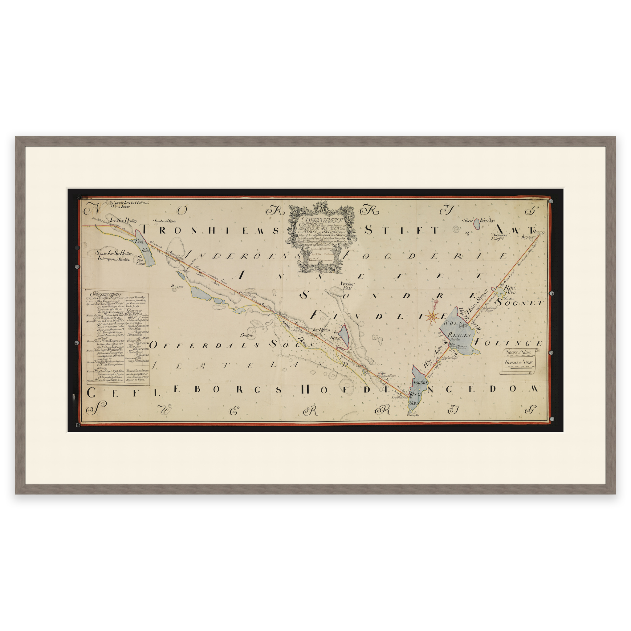
Hand-drawn map from 1759 by Holm, Krogh, Thodal, Friedenreich, Marelius and Ratkind of the national border with Sweden in the area of Lierne and Blåfjellet in Trøndelag. The map is delivered in original size 86 x 54.3 cm. The size with frame and passepartout is 106 x 76.3 cm. Do you want the map in a different size? Just get in touch – we’ll be happy to give you a quote for customization.