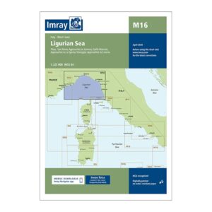
Description
This overview chart from Imray covers the Ligurian Sea and the northwestern part of the Italian west coast. The map includes the sailing areas along the coast from San Remo in the west via Genoa to La Spezia, as well as connections to nearby map sheets for the Tyrrhenian Sea and Corsica.
Designed for passage and route planning, the map provides a clear regional overview of the main waterways, coastal stretches and connections between the main ports in the area. It serves as a natural complement to more detailed coastal and port charts for sailors traveling in northwest Italy and the western Mediterranean.
Printed on water-resistant paper and manufactured to MCA approved standards, with support for digital updates via the Imray Navigator app.