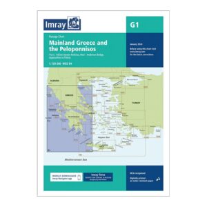
Description
Covering mainland Greece and the Peloponnese, this overview chart from Imray provides a broad regional overview of one of the key sailing areas in the Aegean and Ionian Seas. Specifically designed for passage and route planning, the chart is an essential tool for sailors operating along the mainland coast or planning longer legs between the Ionian Islands, Saronic Gulf and Cyclades.
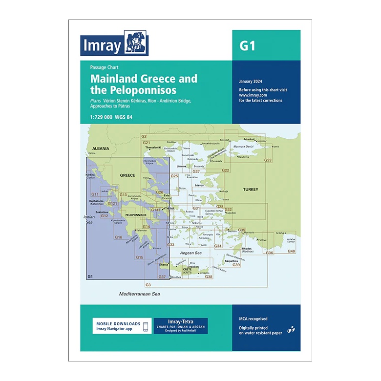
The map includes plan views and approaches to Vóreion Stenón Kérkiras (Corfu), Rio-Antirrio bridge, as well as approaches to Pátras, among others. It provides a good overview of main shipping lanes, major ports and connections between the west and east coasts of Greece.
Printed on water-resistant paper and manufactured to MCA approved standards, with support for digital updates via the Imray Navigator app.