Description
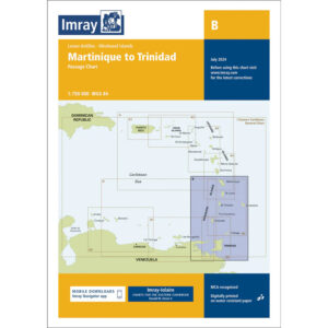
This chart covers the Lesser Antilles / Windward Islands sailing area from Martinique in the north to Trinidad in the south. The chart is designed as a passage chart and provides a comprehensive representation of the archipelagos, high seas and the main geographical features of the Eastern Caribbean.
The chart is particularly well-suited for planning longer ocean passages and route selection between the islands of the Windward Islands, including St. Lucia, St. Vincent & the Grenadines, Grenada and Tobago. It is typically used in combination with more detailed coastal and harbor charts for arrival and local navigation, providing a solid strategic basis for long distance sailing in the region.
Imray is a recognized British chart manufacturer with extensive experience in nautical cartography for leisure and long-distance sailing. Their passage charts are developed with a focus on high legibility and clear overview when navigating in open tropical waters.