Description
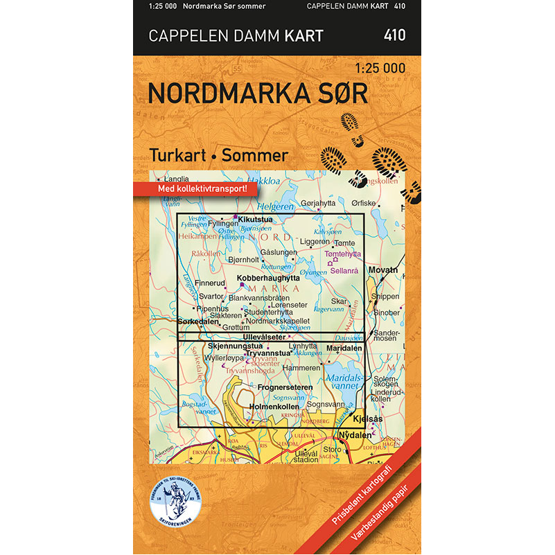
Nordmarka sør (Del 410) from Cappelen Damm kart is a detailed summer hiking map published in 2021. The map is folded in a small and handy format that makes it easy to take on a trip and convenient to use in the terrain.
The map covers the area between Holmenkollen and Kikutstua, as well as between Maridalsvannet and Bogstadvannet. The scale is 1:25,000, which provides excellent detail for navigation on foot and by bike.
The map shows blue-marked trails, cycling routes and bathing areas, as well as restaurants, accommodation and public transport. In addition, it contains other useful information for trip planning in the field. The map is printed on weatherproof paper with high durability and good rain tolerance, so it can withstand active use throughout the season.
Cappelen Damm no longer publishes maps and atlases. This product is sold from existing stock, and will be available while stocks last. When the stock is empty, the map will not be printed in a new edition.