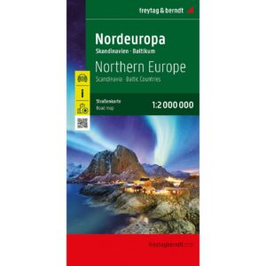

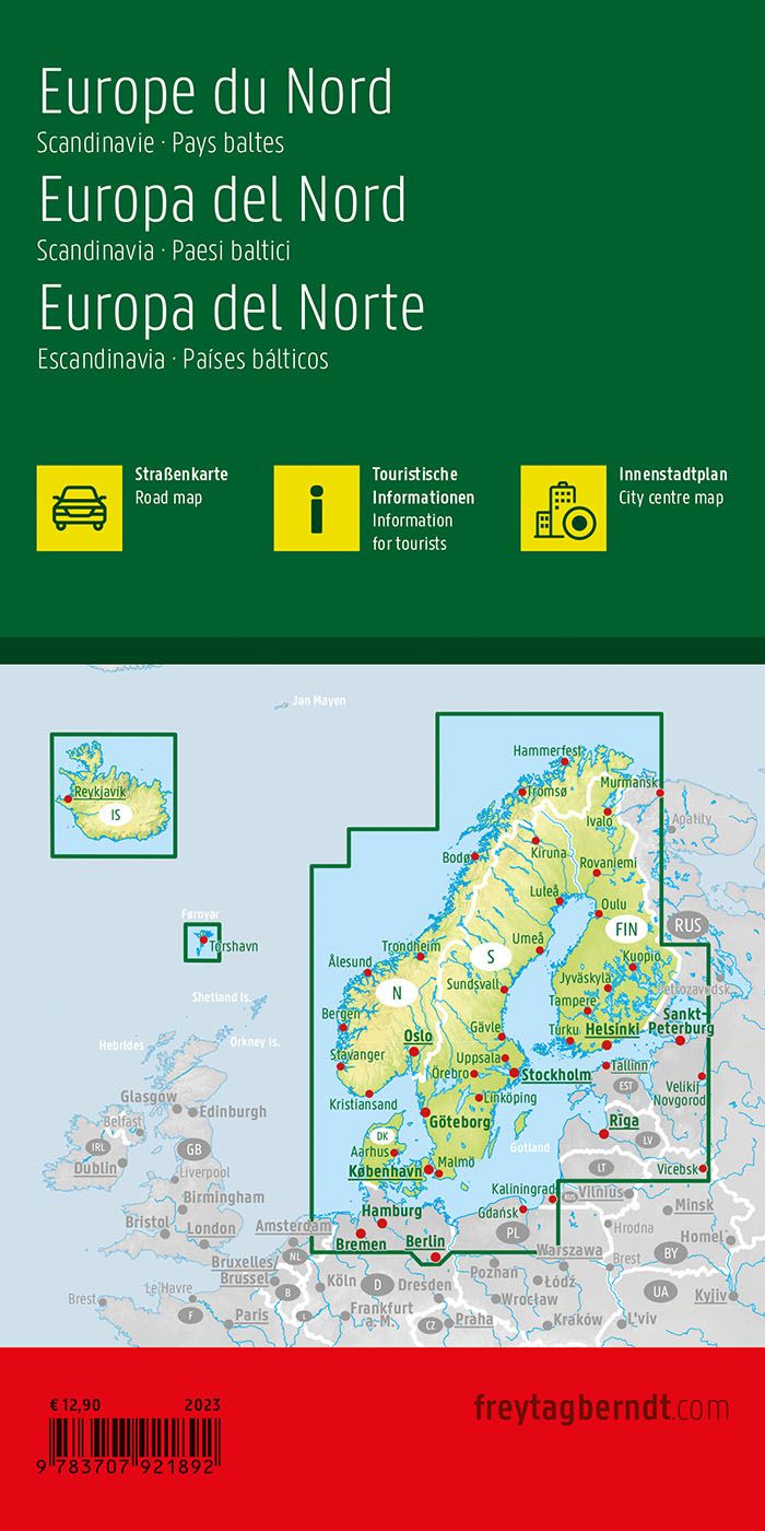
Description
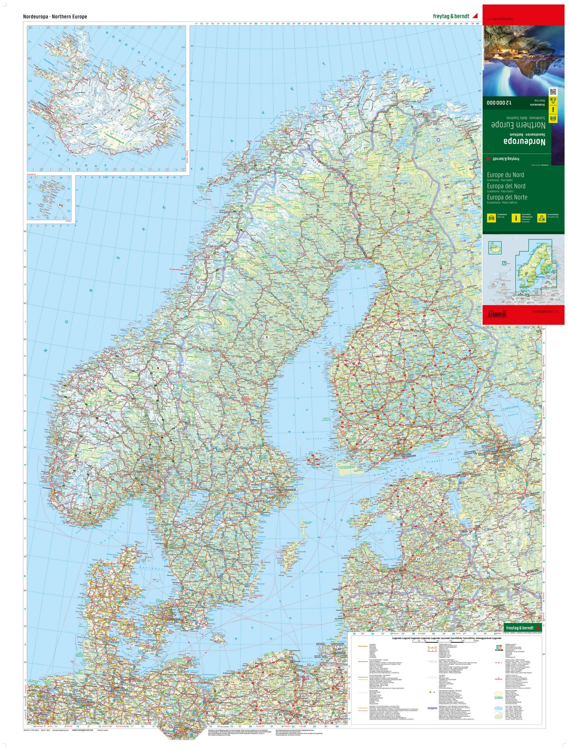
This is a clear and detailed road map of Northern Europe, covering Scandinavia and the Baltics in one coherent map presentation. Designed for travelers planning longer journeys by car, motorcycle or motorhome, the map provides a good overview of main roads, key connections and regional road networks across borders.
The map image is clear and easy to read, with clearly marked roads, distances and road numbers, which makes the map well suited for route planning before departure and as support during the journey. In addition, the map contains tourist information and a place index with postcodes, making it easy to find specific destinations.
The map also includes 5 city maps for key cities in the region, including Stockholm, Oslo and Helsinki, providing additional support when entering and exiting major urban areas. With its large format, the map provides a comprehensive overview of Northern Europe and is particularly useful for travelers moving between Scandinavia and the Baltics.
This road map is printed in Austria and is of high cartographic quality, adapted for practical use when traveling.
The map is published in 2023.