Description
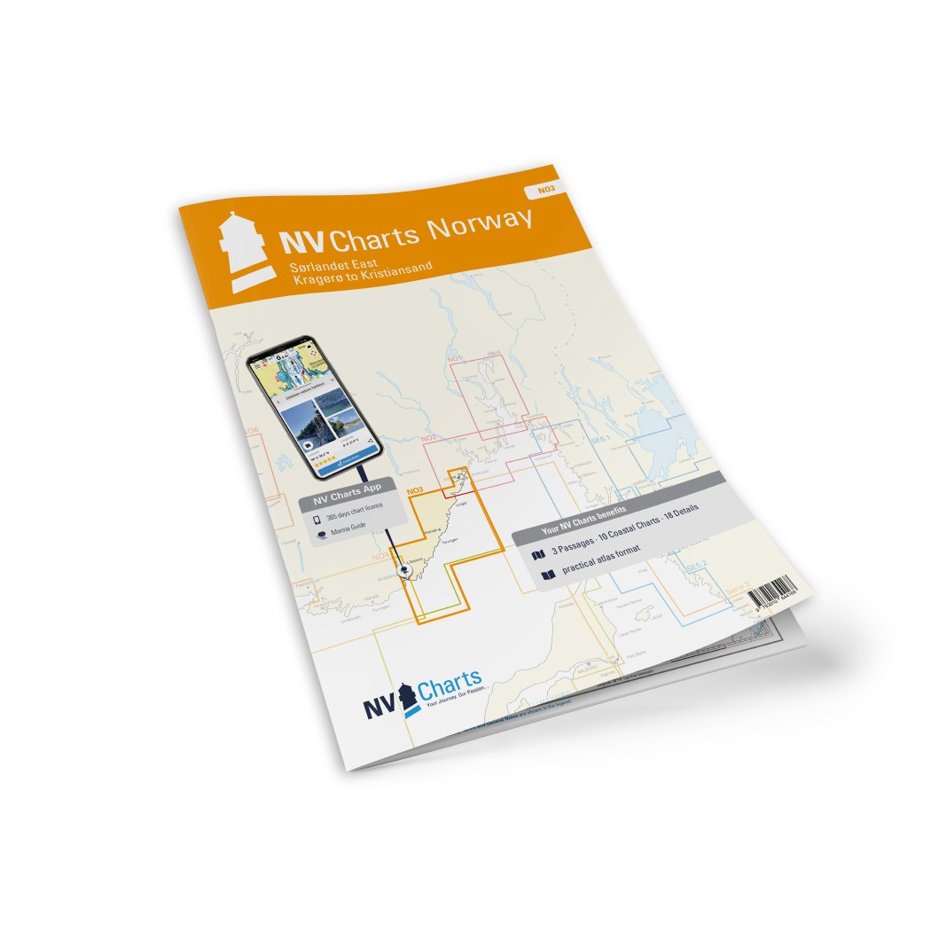
NV Charts NO3 Sørlandet øst is a complete map package with both paper charts and digital nautical charts for the coastline from Kragerø to Kristiansand, along the eastern side of Sørlandet. The charts are based on official data from the Norwegian Mapping Authority and provide detailed and reliable navigational information about the coastline, approaches, ports and anchorages. This makes the map package well suited for both planning and safe navigation in the area.
The package includes paper charts in convenient atlas format (A3), combined with digital access via the NV Charts app and PC/Mac. The digital charts can be used offline and activated on up to 5 devices, so you can easily combine chart use on board and on land.
Characteristics
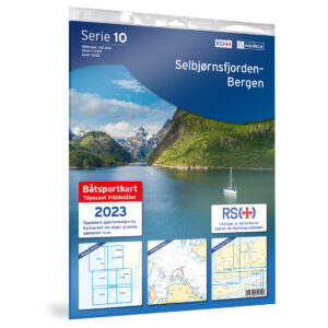
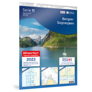
Paper map in A3 atlas format with a good balance between overview and details.
Digital access via NV Charts (app + PC/Mac) with offline use.
Detailed map basis for sailing, approaches and port calls along the east coast of southern Norway.
Map overview
C1 Flekkefjord to Kragerø (1:375 000).
C20 Norway – Oslo to Mo-i-Rana (1:1,750,000).
C21 Norway – Mo-i-Rana to Kirkenes (1:1 750 000).
C2 Kristiansand – Flekkerøya to Kvåsefjord (1:40 000).
C3 Kvåsefjord to Lillesand (1:40 000).
C4 Lillesand to Homborøya (1:40 000).
C5 Homborøya to Fevik – Grimstad (1:40 000).
C6 Fevik to Arendal (1:40 000).
C7 Arendal to Kilsund (1:40 000).
C8 Kilsund to Lyngør – Tvedestrandfjord (1:40 000).
C9 Lyngør to Risør (1:40 000).
C10 Risør innseilinger (1:40 000).
C11 Kragerø inlets (1:40 000).
C12 Blindleia – Kvåsefjord (1:20 000).
C13 Blindleia – Høvåg (1:20 000).
C14 Blindleia – Lillesand (1:20 000).
C15 Kristiansand inlets (1:10 000).
C16 Valøyene to Bjorøya – Grimstad (1:20 000).
C17 Arendal harbor (1:20 000).
C18A Klåholmen (1:10,000).
C18B Gjernes (1:5 000).
C18C Tvedestrand (1:5 000).
C18D Snaresund (1:5,000).
C18E Lyngør – Gjeving (1:5 000).
C18F Risør (1:10 000).
C18G Dalesund – Bjørkesund (1:10 000).
C19A Kragerø (1:10 000).
C19B Porter (1:5,000).
C19C Homborgsund (1:10 000).
C19D Grønholmgapet (1:10 000).
C19E Grimstad (1:5 000).
Updates
Always delivered in the latest available edition from NV Charts. If a new and updated edition is launched within 30 days of purchase, the map can be exchanged for a new edition free of charge.