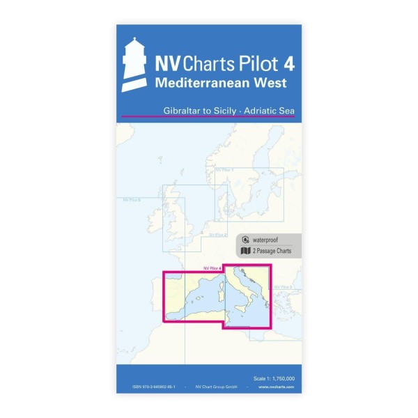
Description
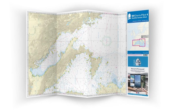
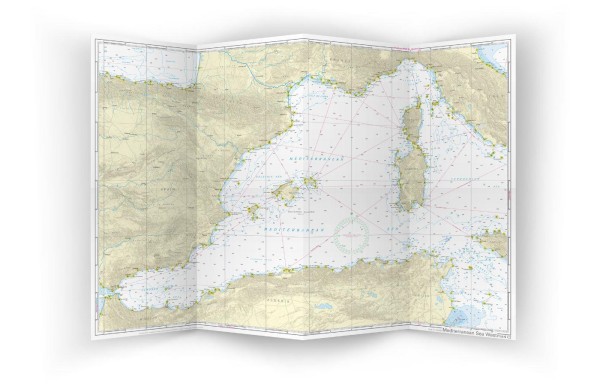
NV Charts Pilot 4 Mediterranean West is a large planning chart for the **western part of the Mediterranean**, covering sailing from Gibraltar and further east towards Sicily and into the Adriatic Sea. The chart provides a good overview of long distances and has been specially developed for planning long-distance voyages, overseas legs and voyages between Spain, France, Italy and North Africa.
The map consists of two overview maps in large A1 format (folded down to approx. 15 × 30 cm) with the same scale on both sides. The front shows the Tyrrhenian Sea, the Adriatic Sea, the Ionian Sea and the waters south of Sicily all the way down to the coast of Tunisia, while the back covers the western Mediterranean route from Gibraltar to Palermo (Sicily). Both sides include important lighthouses, sailing routes and distances for efficient passage planning.:contentReference[oaicite:0]{index=0}
Features
Large planning chart in A1 format that can be folded to a convenient size for use at the chart table.
Detailed overview of the western Mediterranean with sailing routes, guide lines, lighthouses and distances.
Good support for route planning and overview before detailed navigation with local nautical charts.
Application
Ideal as a planning chart for long-distance sailing across the western Mediterranean, including the Strait of Gibraltar, Spain, France, Sardinia, Corsica, Sicily and into the Adriatic towards the eastern Mediterranean. The map provides an overall picture for strategy and route selection before detailed planning with more local charts.
Updates
Always delivered in the latest available edition. If a new and updated edition is launched within 30 days of purchase, the map can be exchanged for a new edition free of charge.
EAN / ISBN
9783945902851