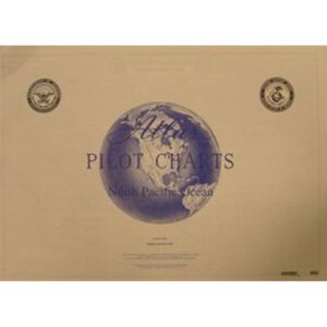
Description
Pilot Chart Atlas – North Pacific Ocean is a specialized atlas that provides an overview of climatic and oceanographic conditions in the North Pacific Ocean. Based on long-term observations and statistical data, the atlas presents information on winds, currents, waves, storm frequency and other seasonal conditions that are important for route planning and sailing over open ocean areas. Pilot charts are traditionally used by commercial shipping and long-distance sailors to analyze likely conditions in different parts of the year, and serve as a valuable supplement to ordinary nautical charts and navigation equipment. This atlas is particularly relevant for voyages and crossings in the North Pacific.