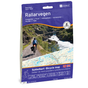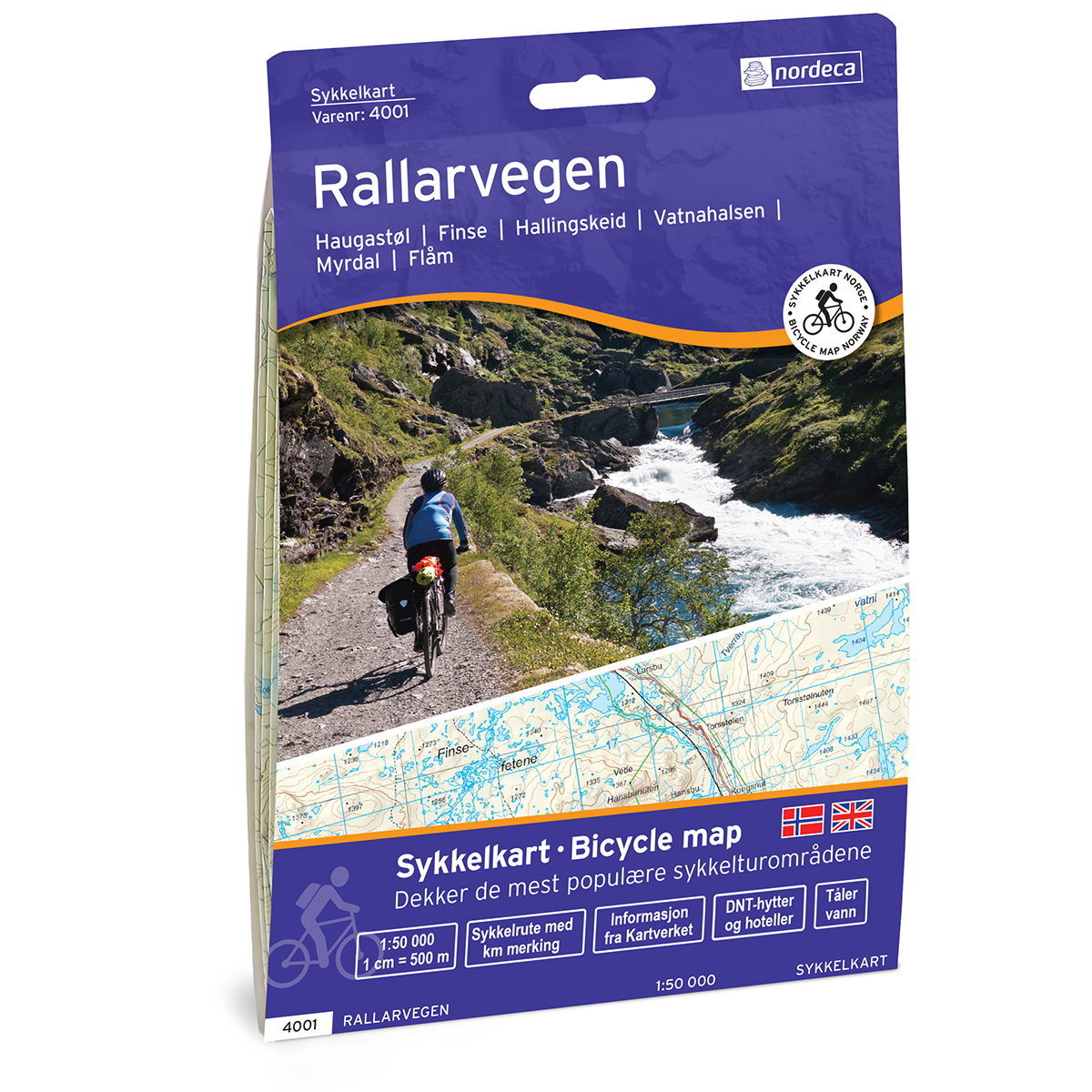
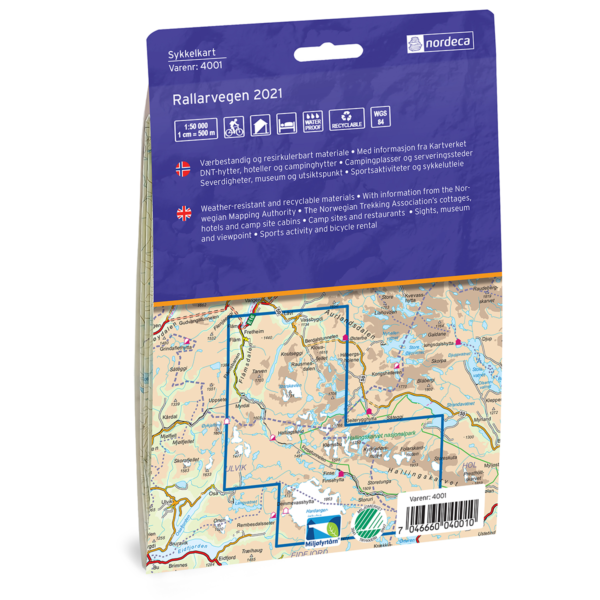
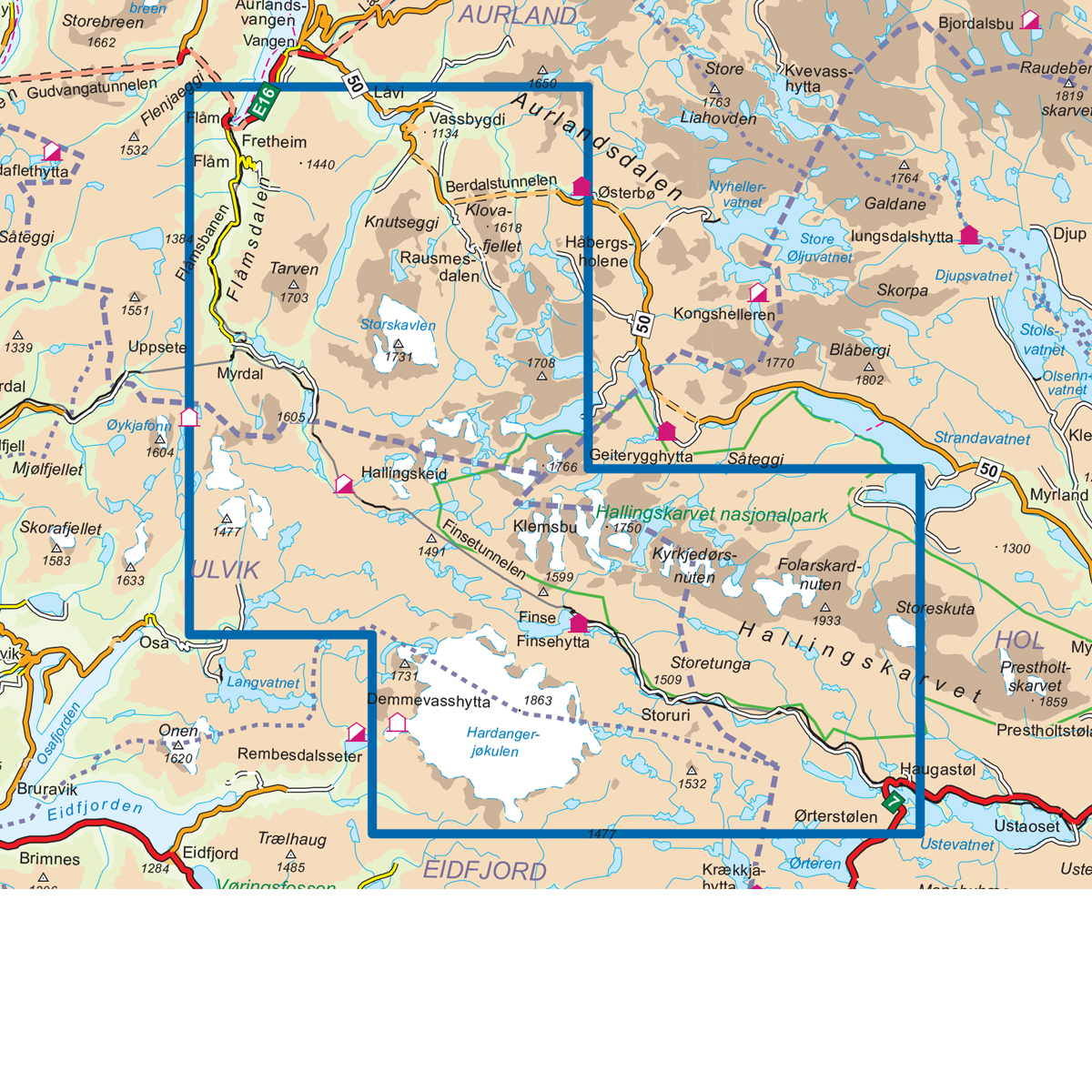
Description
This map covers the area of Rallarvegen Sykkelkart and is designed for practical use in travel and planning. The map provides a clear representation of the terrain, landscape and key geographical elements, and is designed for active leisure in Nordic conditions. The map is printed at a scale of 1: 50 000 and is delivered on paper. This is the latest updated edition of the map, released in 2021. Even though hiking maps are not published annually, they still work very well several years after publication. The terrain and landscape change little over time, and the map still provides a reliable basis for travel. The map is produced and published by Nordic Maps, the Nordic region’s largest producer and publisher of maps for active leisure, with over 20 years of experience in developing maps for the Norwegian market.
The map covers places such as Finse, Vassbygdi, Aurlandsdalen, Flåm, Myrdal, Hallingskeid, Haugastøl and Vikastølen.