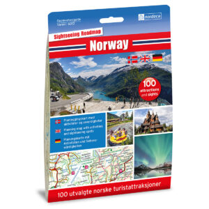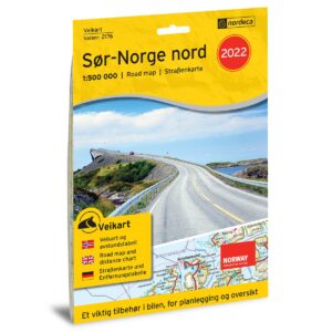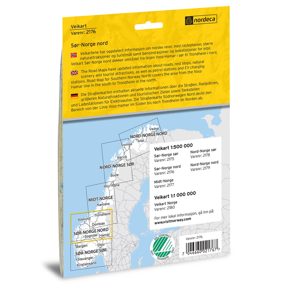
Description
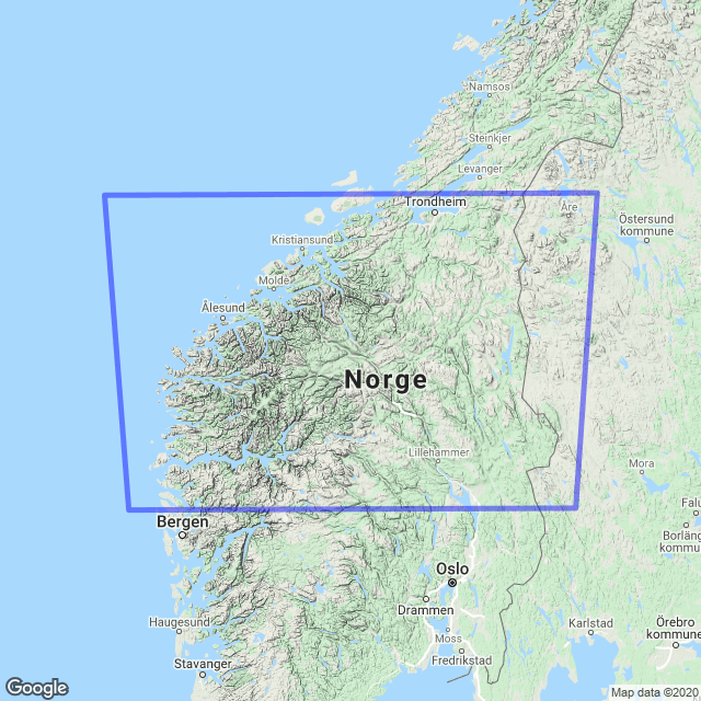
Road Map Southern Norway North is a foldable paper map at a scale of 1:500,000 (1 cm = 5 km) covering the area from the Voss–Hamar line in the south up to Trondheim in the north. The map provides a good overview of the road network with clearly depicted national and county roads, distance tables, rest areas, ferry connections, gas stations, EV charging stations, as well as major natural and cultural attractions useful for planning and executing your trip.
The map was published in 2022. Although some roads, facilities, and destination details may have changed since publication, this road map still provides a good overview of the area and is well-suited as inspiration and travel assistance for your road trip – whether you are planning ahead or seeking quick road information along the way.
The map covers locations such as Gjøvik, Hamar, Lillehammer, Florø, Ålesund, Molde, Kristiansund, and Trondheim.