
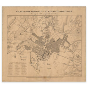

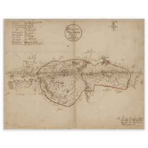
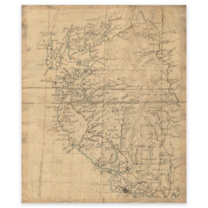
 Rogaland 1820
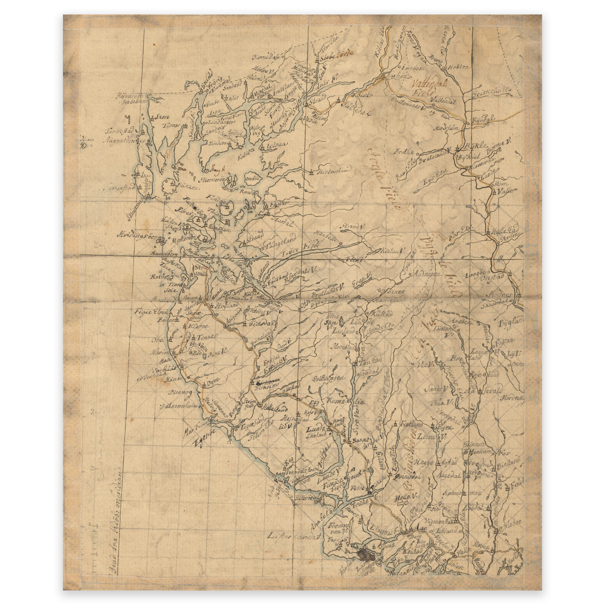
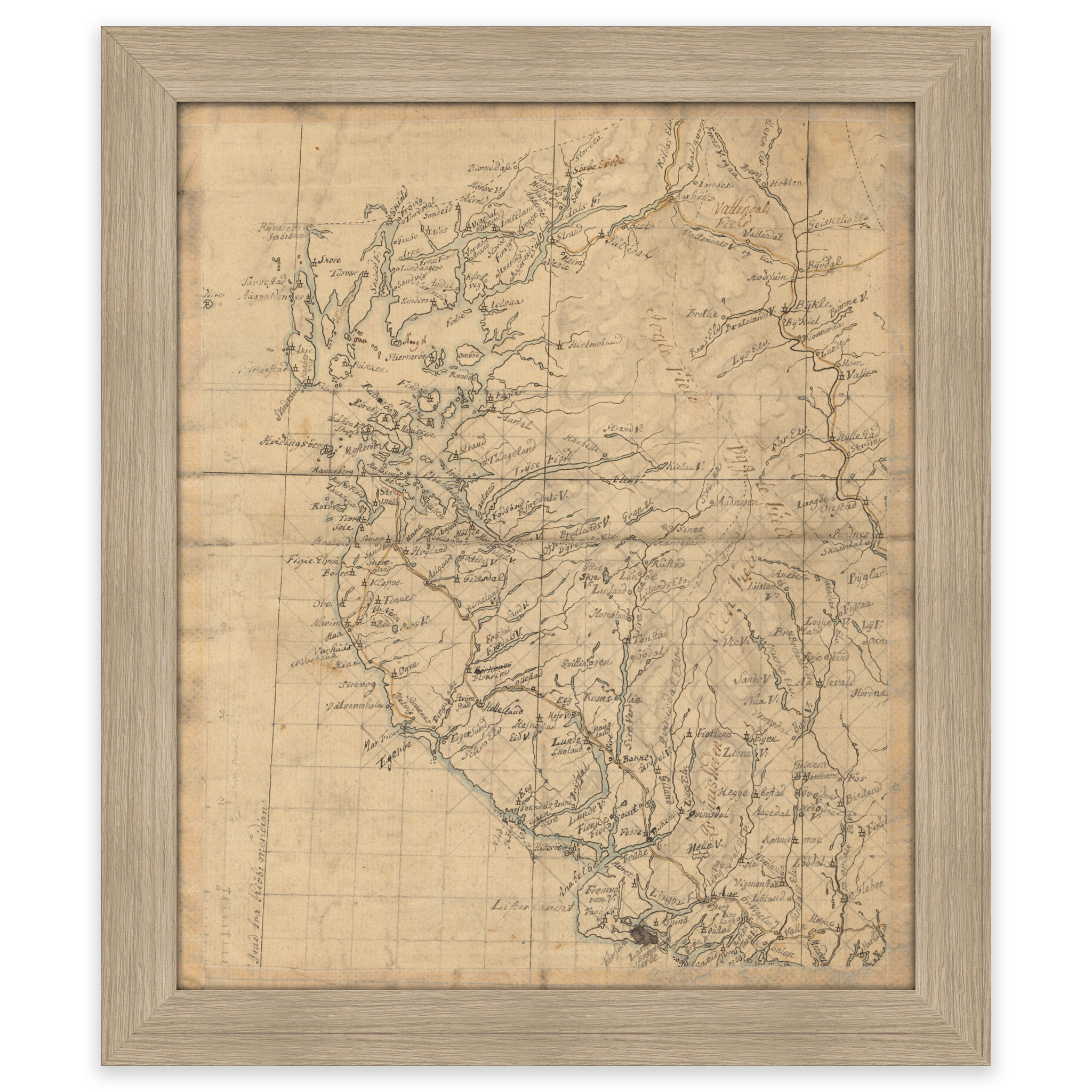


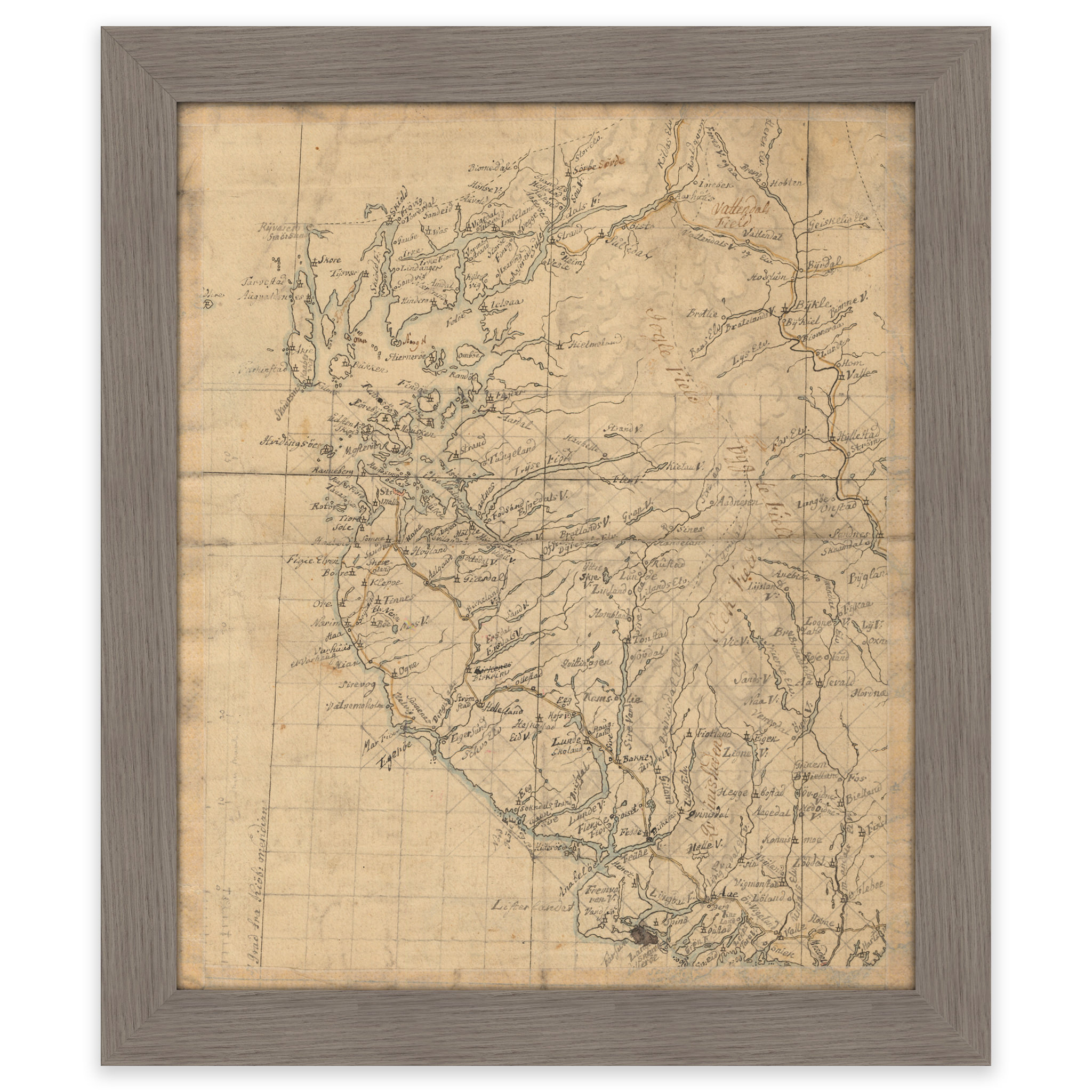

Rogaland 1820
Map of what is today Rogaland county and part of Agder. It covers the coast from Søgne in the south to Bømlafjorden in the north, Sauda and Setesdalen in the east. The map is delivered in its original size of 19.5 x 23.4 cm. The size with frame and passe-partout is 43.5 x 49.4 cm. Do you want the map in a different size? Just get in touch – we’ll be happy to give you a quote for customization.