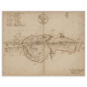


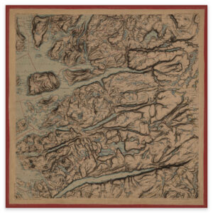
 Ryfylke 1860
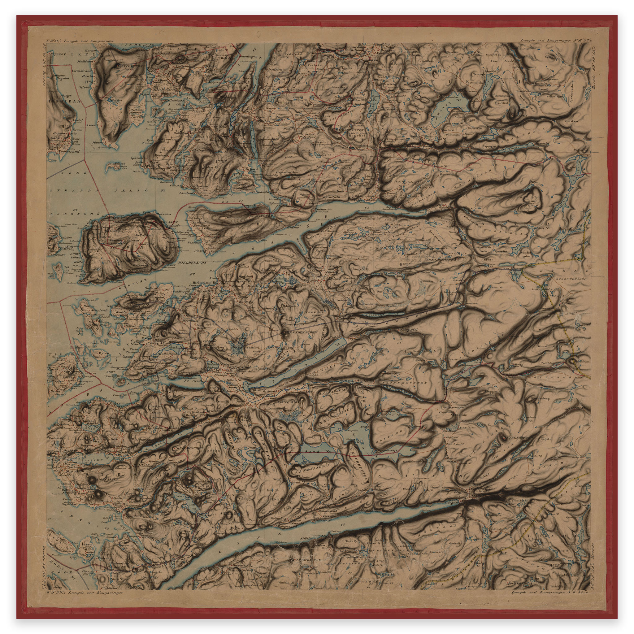


Ryfylke 1860
Hand-drawn map of Ryfylke from 1860 made by F. Staib. The map covers the area between Lysefjorden and Vindafjord. The map is delivered in its original size of 66.7 x 57.9 cm. The size with frame and passepartout is 84.7 x 76.9 cm. Would you like the map in a different size? Just get in touch – we’ll be happy to give you a quote for customization.