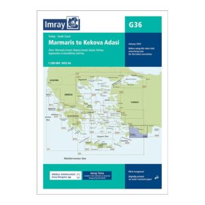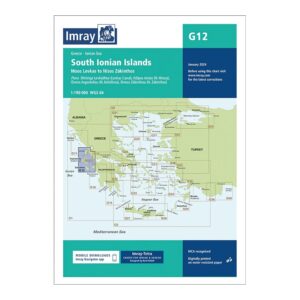
Description
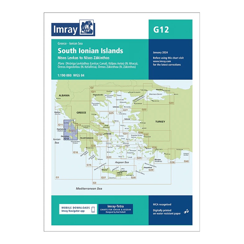
This overview map from Imray covers the southern Ionian Islands, from Levkada (Nísos Léfkas ) in the north to Zakynthos (Nísos Zakynthos ) in the south. The map provides a clear regional overview of one of Greece’s most popular sailing areas, known for its sheltered waters, short day trips and well-developed harbors.
The map includes plan views and approaches to the Lévkas Channel (Dhióriga Lévkados), Kólpos Aéton (Íthaka), Órmos Argostólion (Kefallinía), Órmos Zakýnthou and Liménas Zákynthos, among others. It is ideal for route and day sailing planning, and very suitable for both charter and private sailing in the Ionian Sea.
Printed on water-resistant paper and manufactured to MCA approved standards, with support for digital updates via the Imray Navigator app.