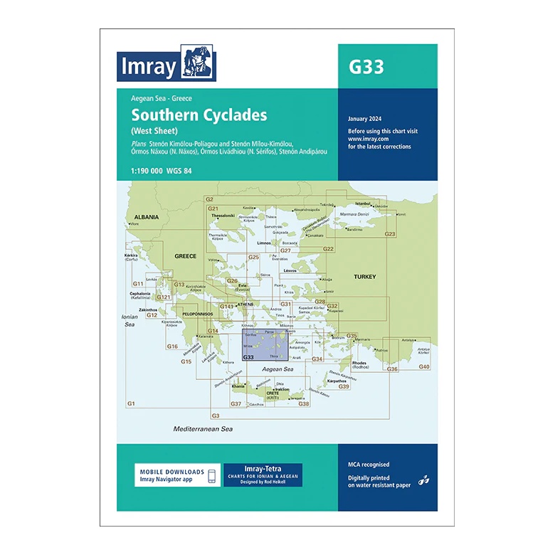
Description
This overview chart from Imray covers the western parts of the Southern Cyclades in the Aegean Sea, providing a detailed regional overview of the sailing areas in the west of the archipelago. The chart is designed for planning both coastal sailing and island hopping between the central and western Cyclades.
The map includes plan views and approaches to Sérifos, Sifnos, Mílos-Kímolos, Polýaigos, Folegándros, Náxos and surrounding waters, among others. It acts as a natural complement to the G34 (East Sheet) and together provides full coverage of the Southern Cyclades.
Printed on water-resistant paper and manufactured to MCA approved standards, with support for digital updates via the Imray Navigator app.