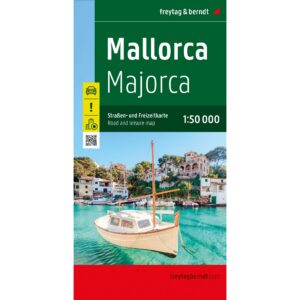
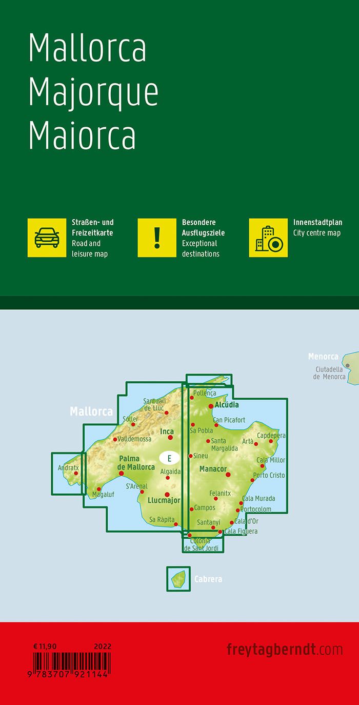
Description
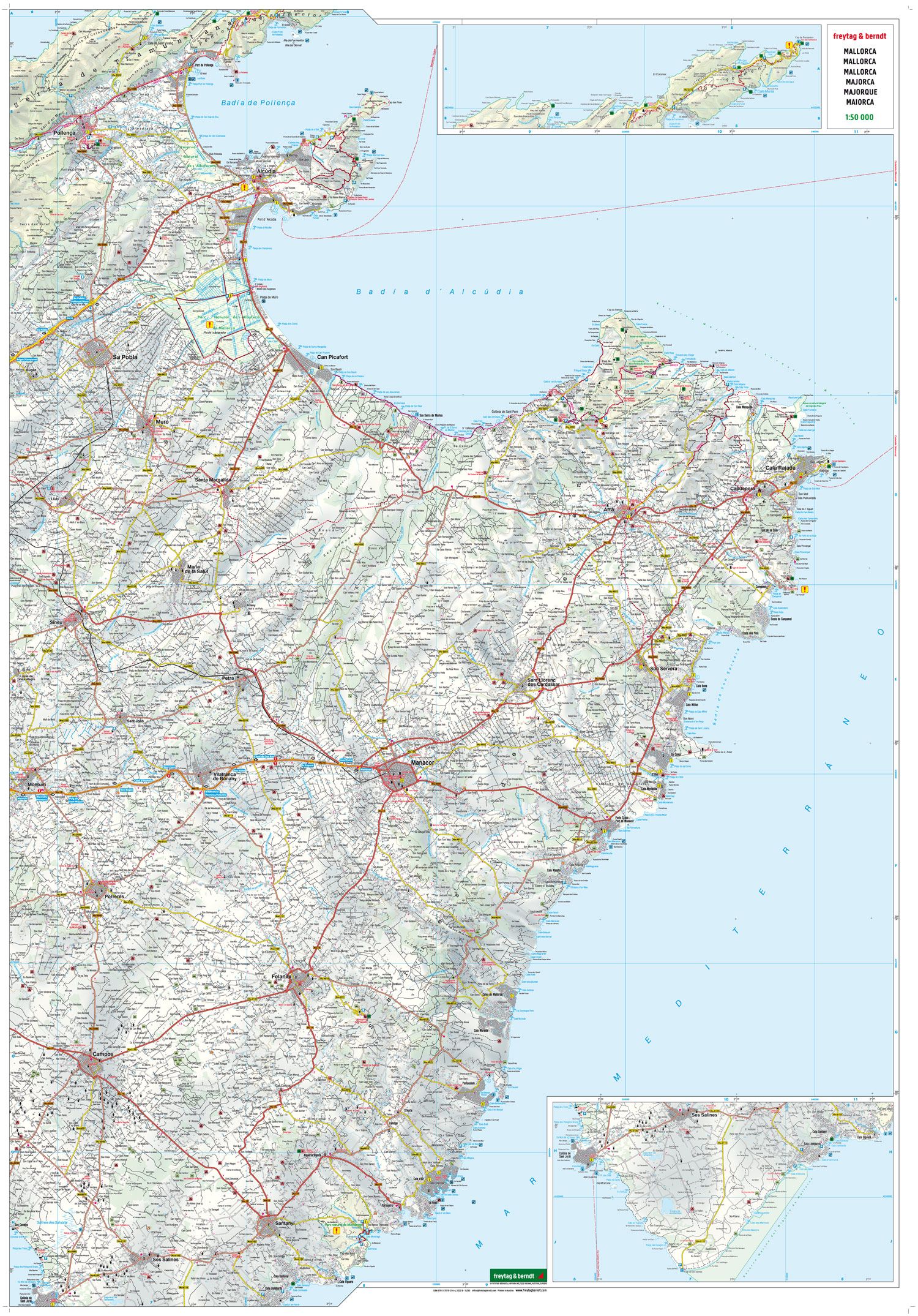
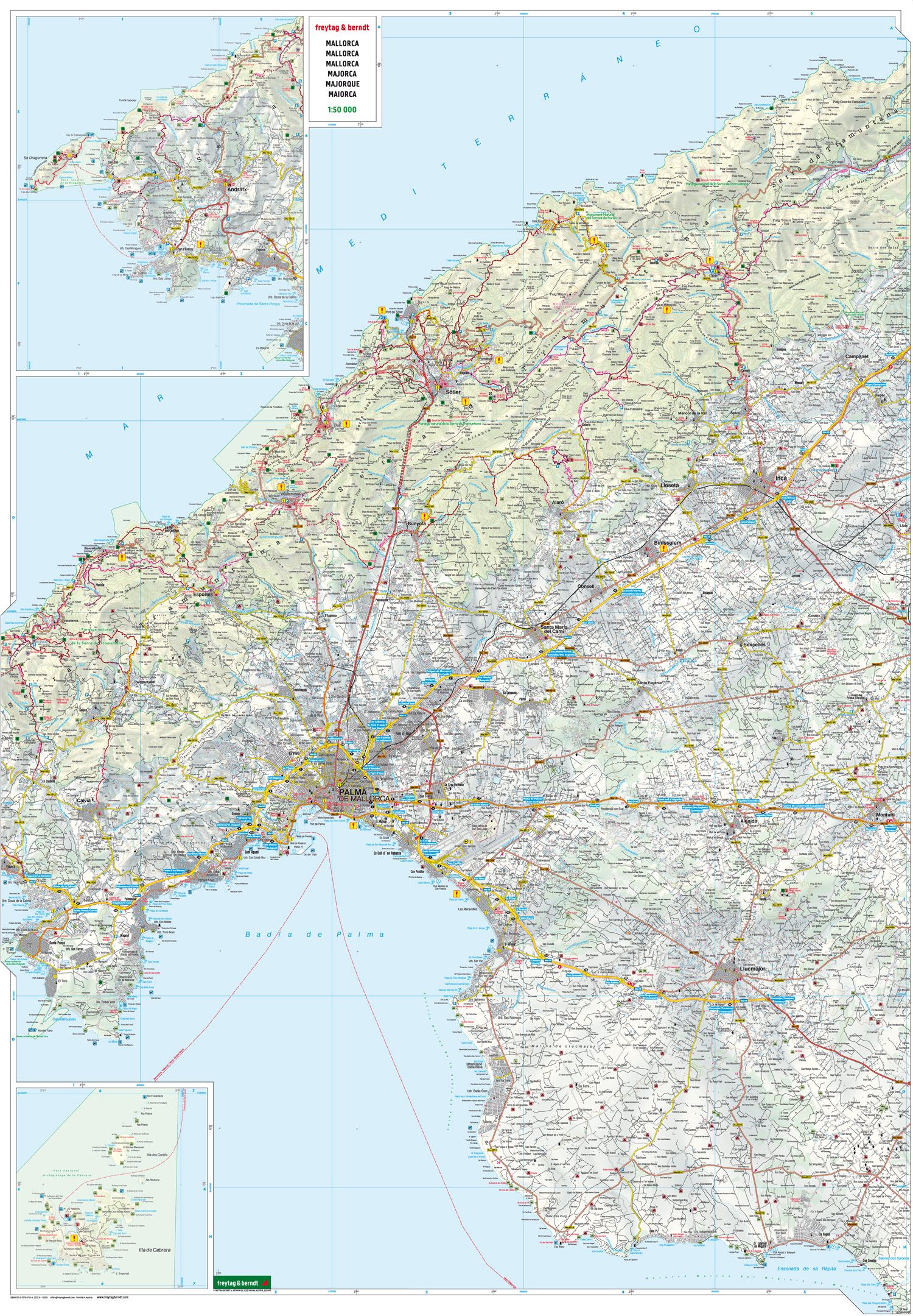
This road map covers Mallorca and provides a detailed overview of the island’s road network and landscapes, from coastal areas to the mountains of the Serra de Tramuntana. The map is well suited to both planning and executing journeys, and provides a solid foundation for exploring the island by car or motorcycle.
The map depicts a fine-meshed network of main roads and smaller connections, making it possible to plan both efficient routes and more scenic drives. Distances are indicated and tourist information and attractions are integrated into the map, making it easier to plan a varied journey. The map also includes marked hiking and walking routes, making it useful for combining car travel and hiking.
An accompanying information booklet provides brief descriptions of selected sights and excursion destinations on the island, providing additional planning support. The map also includes a city map of Palma de Mallorca, making it easier to find your way around the capital. The clear cartography provides a high level of detail and legibility.
Release year: 2022.