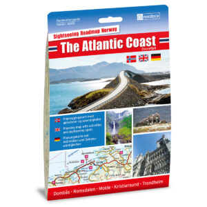
Description
This experience guide is designed for those who wish to explore The Atlantic Coast / Dovrefjell by car and gain a good overview of areas, sights, and popular destinations. The guide combines clear road maps at a scale of 1:250 000 with texts and images that provide inspiration and useful context before and during your journey.
The content is tailored for planning road trips and offers a comprehensive presentation of the region, focusing on experiences, stopping points, and tourist destinations along the way. The guide serves as an excellent supplement to digital maps and navigation, functioning as a practical and clear aid in the car or during planning at home.
The guide was published in 2018. Although some roads, route choices, and details related to destinations may not always be 100% updated, the guide still provides a good and relevant overview of the area and is well-suited as inspiration and travel assistance for your road trip.
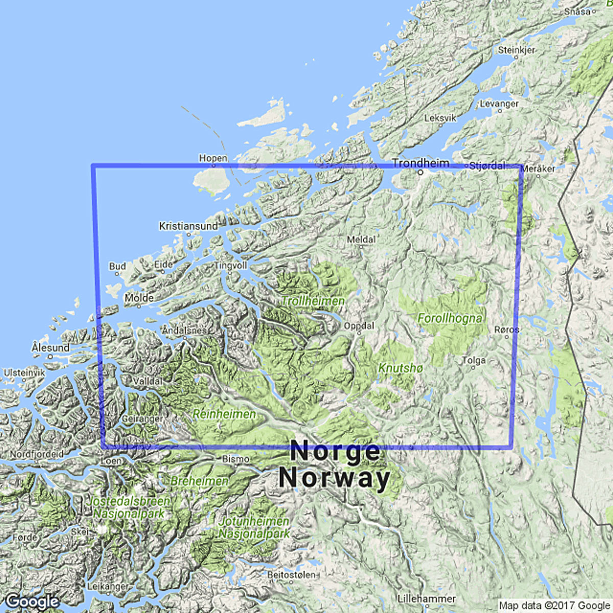
The map covers places such as Kristiansund, Trondheim, Støren, Røros, Tynset, Dombås, Åndalsnes, Sunndalsøra, Molde, Folldal, Lesja, Geiranger, Trollheimen, and the Atlantic Road.