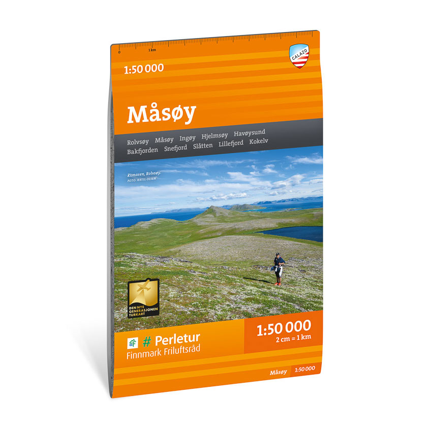
Description
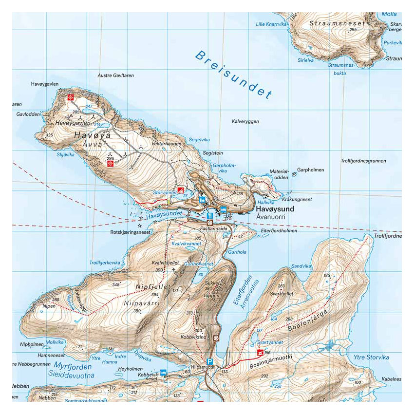
Turkart Måsøy covers large parts of Måsøy municipality with map sections on both the front and back. The area is characterized by coastal landscapes, islands, fjords and open mountain areas, and the map provides an overview of hiking opportunities in the region throughout the year.
The map has been developed in collaboration with Finnmark Friluftsråd. Trails in the area have been reviewed and corrected using detailed aerial photographs and terrain data, and several missing trails have been added to give a more complete representation of the route network. The map shows popular mountain areas, cabins and marked hiking routes. It is adapted for both summer and winter use, with marked winter routes and groomed ski trails where applicable.
The map is at a scale of 1:50,000, which is the most common scale for longer trips. At this scale, 2 cm on the map corresponds to 1 km in the terrain. The terrain information provides a precise and clear representation of elevation contours, water and landforms in a weather-prone and varied coastal and mountainous terrain.
Calazo Förlag is a Swedish publishing house specializing in maps and books for outdoor life in the Nordic region.
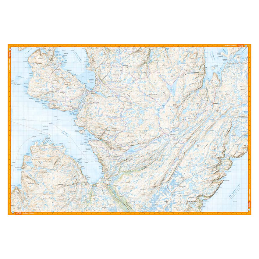
Here you can see the area the map covers:
The map is released in 2022.