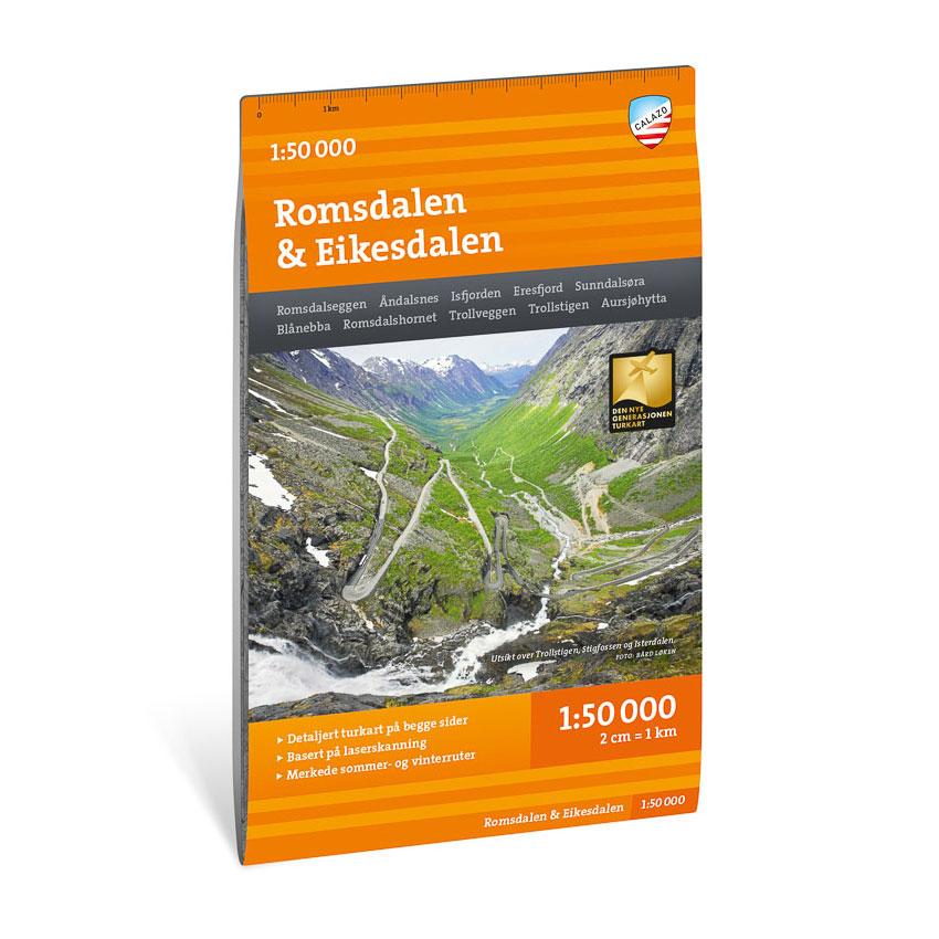


Description
Turkart Romsdalen & Eikesdalen covers the whole of Romsdalen and Eikesdalen with map sections on both the front and back. The area is known for its high, steep mountains and distinct alpine character, and offers some of Norway’s most striking rock formations and viewpoints.
The map includes classic hiking destinations such as Romsdalseggen, Trollveggen, Trollstigen and Mardalsfossen. It shows marked hiking routes, DNT cabins and private accommodation, and provides a precise representation of contours, water, river courses and terrain shapes. The map is adapted for use throughout the year, with winter routes and groomed ski trails marked where applicable. The 70 × 100 cm format provides good coverage of a large and varied mountain area.
The map is at a scale of 1:50,000, which is the most common scale for longer mountain hikes. At this scale, 2 cm on the map corresponds to 1 km in the terrain. The terrain information is based on detailed elevation data and provides a clear and precise representation of the landscape.
Calazo Förlag is a Swedish publishing house specializing in maps and books for outdoor life in the Nordic region.
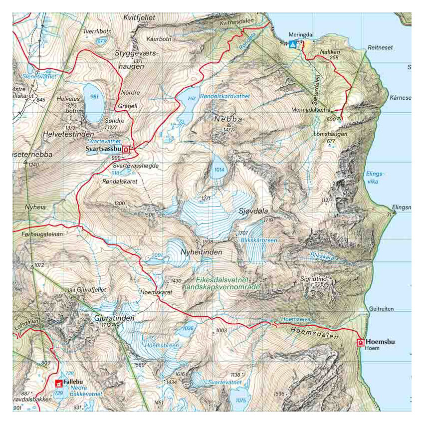
Here you can see the area the map covers:
The map is released in 2022.