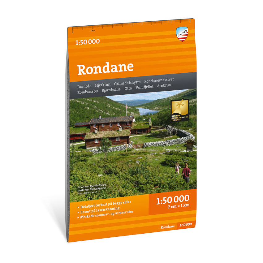
Description
Turkart Rondane covers the entire Rondane National Park with map sections on both the front and back. Rondane is Norway’s oldest national park and offers open high-mountain plains, marked peaks and long continuous hiking opportunities.
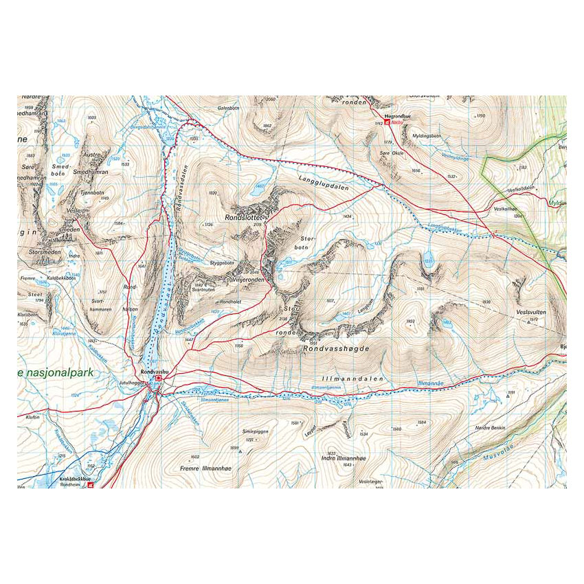
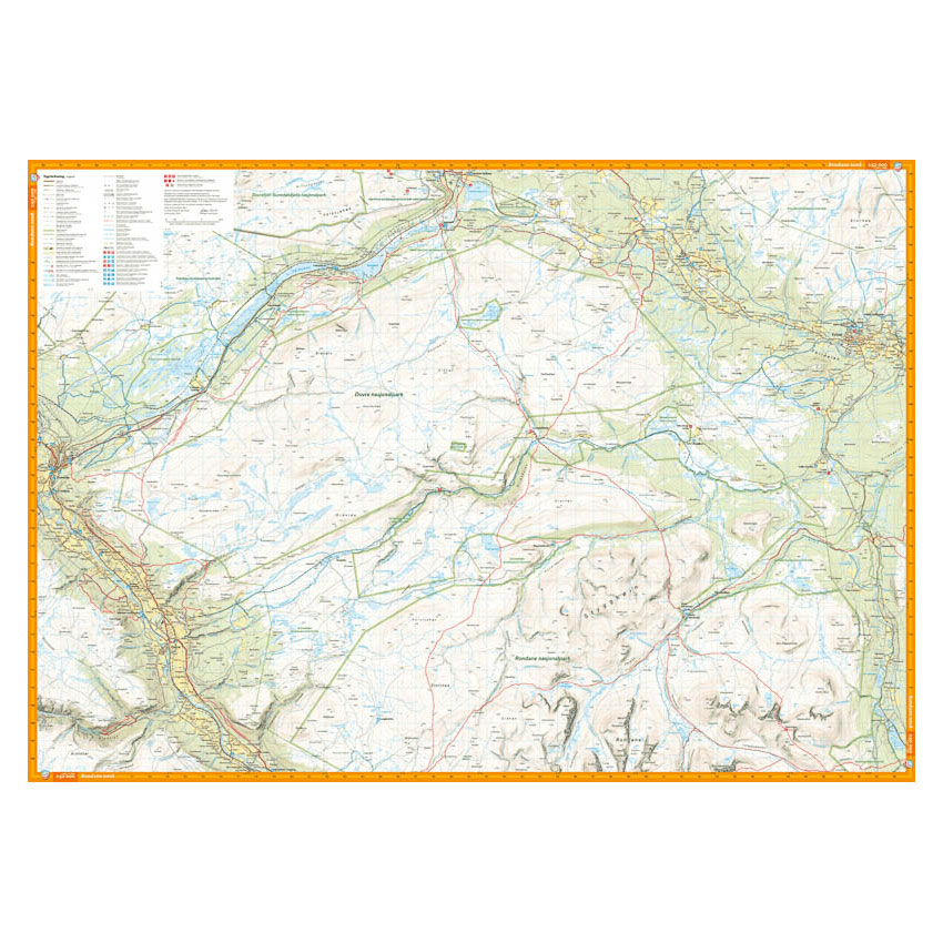
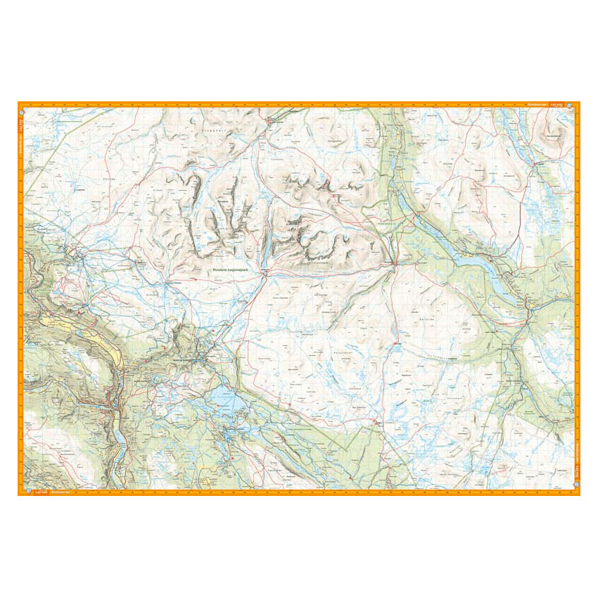
The map includes classic hiking destinations such as Rondvassbu, Bjørnhollia, Rondeslottet (2178 m) and Høgronden (2115 m). Trails in the area have been reviewed and corrected using detailed aerial photographs and terrain data, and the map shows both established and less used routes. DNT cabins and private accommodation are clearly marked. The map shows marked summer routes and is adapted for use throughout the year, with marked winter routes and groomed ski trails where applicable. The format is 70 × 100 cm and provides good coverage of the entire national park.
The map is at a scale of 1:50,000, which is the most common scale for longer mountain hikes. At this scale, 2 cm on the map corresponds to 1 km in the terrain. The terrain information is based on detailed elevation data and provides a precise and clear representation of contours, water and landforms.
Calazo Förlag is a Swedish publishing house specializing in maps and books for outdoor life in the Nordic region.
Here you can see the area the map covers:
The map is released in 2022.